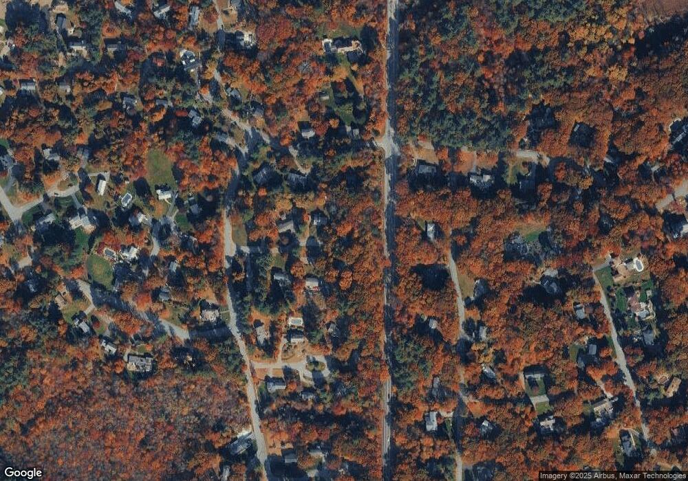
8 Haven Dr Andover, MA 01810
Estimated Value: $834,000 - $929,851
3
Beds
3
Baths
1,656
Sq Ft
$525/Sq Ft
Est. Value
About This Home
This home is located at 8 Haven Dr, Andover, MA 01810 and is currently estimated at $869,213, approximately $524 per square foot. 8 Haven Dr is a home located in Essex County with nearby schools including Bancroft Elementary School, Doherty Middle School, and Andover High School.
Ownership History
Date
Name
Owned For
Owner Type
Purchase Details
Closed on
Dec 16, 2003
Sold by
Sullivan Christine M
Bought by
Sullivan Christine M and Sullivan David E
Current Estimated Value
Home Financials for this Owner
Home Financials are based on the most recent Mortgage that was taken out on this home.
Original Mortgage
$113,200
Interest Rate
5.9%
Mortgage Type
Purchase Money Mortgage
Purchase Details
Closed on
Oct 6, 1983
Bought by
Sullivan Christine M and Sullivan David E
Create a Home Valuation Report for This Property
The Home Valuation Report is an in-depth analysis detailing your home's value as well as a comparison with similar homes in the area
Home Values in the Area
Average Home Value in this Area
Purchase History
| Date | Buyer | Sale Price | Title Company |
|---|---|---|---|
| Sullivan Christine M | -- | -- | |
| Sullivan Christine M | -- | -- | |
| Sullivan Christine M | $113,000 | -- |
Source: Public Records
Mortgage History
| Date | Status | Borrower | Loan Amount |
|---|---|---|---|
| Open | Sullivan Christine M | $96,357 | |
| Closed | Sullivan Christine M | $113,200 | |
| Previous Owner | Sullivan Christine M | $22,000 |
Source: Public Records
Tax History Compared to Growth
Tax History
| Year | Tax Paid | Tax Assessment Tax Assessment Total Assessment is a certain percentage of the fair market value that is determined by local assessors to be the total taxable value of land and additions on the property. | Land | Improvement |
|---|---|---|---|---|
| 2024 | $10,429 | $809,700 | $458,900 | $350,800 |
| 2023 | $9,979 | $730,500 | $413,300 | $317,200 |
| 2022 | $9,367 | $641,600 | $359,400 | $282,200 |
| 2021 | $8,968 | $586,500 | $326,800 | $259,700 |
| 2020 | $8,602 | $573,100 | $318,900 | $254,200 |
| 2019 | $8,527 | $558,400 | $309,500 | $248,900 |
| 2018 | $8,244 | $527,100 | $297,700 | $229,400 |
| 2017 | $7,197 | $474,100 | $291,800 | $182,300 |
| 2016 | $7,026 | $474,100 | $291,800 | $182,300 |
| 2015 | $6,768 | $452,100 | $280,400 | $171,700 |
Source: Public Records
Map
Nearby Homes