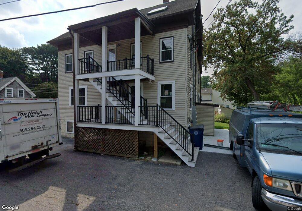
8 Haven St Medway, MA 02053
Estimated Value: $627,000 - $815,000
7
Beds
3
Baths
1,866
Sq Ft
$378/Sq Ft
Est. Value
About This Home
This home is located at 8 Haven St, Medway, MA 02053 and is currently estimated at $706,242, approximately $378 per square foot. 8 Haven St is a home located in Norfolk County with nearby schools including John D. McGovern Elementary School, Burke-Memorial Elementary, and Medway Middle School.
Ownership History
Date
Name
Owned For
Owner Type
Purchase Details
Closed on
Dec 23, 2021
Sold by
Cook Ft
Bought by
21 Broad St Medway Llc
Current Estimated Value
Purchase Details
Closed on
Mar 16, 2011
Sold by
Cook Christopher
Bought by
Cook Ft and Zarfoss Mary K
Purchase Details
Closed on
May 16, 2000
Sold by
Crawford Albert N and Crawford Darlene M
Bought by
Cook Christopher
Home Financials for this Owner
Home Financials are based on the most recent Mortgage that was taken out on this home.
Original Mortgage
$184,000
Interest Rate
8.21%
Mortgage Type
Purchase Money Mortgage
Purchase Details
Closed on
Jun 3, 1997
Sold by
Hedges Julie M
Bought by
Crawford Albert N and Crawford Darlene H
Home Financials for this Owner
Home Financials are based on the most recent Mortgage that was taken out on this home.
Original Mortgage
$157,250
Interest Rate
8.09%
Mortgage Type
Purchase Money Mortgage
Create a Home Valuation Report for This Property
The Home Valuation Report is an in-depth analysis detailing your home's value as well as a comparison with similar homes in the area
Home Values in the Area
Average Home Value in this Area
Purchase History
| Date | Buyer | Sale Price | Title Company |
|---|---|---|---|
| 21 Broad St Medway Llc | $550,000 | None Available | |
| Cook Ft | -- | -- | |
| Cook Christopher | $230,150 | -- | |
| Crawford Albert N | $185,000 | -- |
Source: Public Records
Mortgage History
| Date | Status | Borrower | Loan Amount |
|---|---|---|---|
| Previous Owner | Crawford Albert N | $184,000 | |
| Previous Owner | Crawford Albert N | $157,250 | |
| Previous Owner | Crawford Albert N | $136,000 |
Source: Public Records
Tax History Compared to Growth
Tax History
| Year | Tax Paid | Tax Assessment Tax Assessment Total Assessment is a certain percentage of the fair market value that is determined by local assessors to be the total taxable value of land and additions on the property. | Land | Improvement |
|---|---|---|---|---|
| 2025 | $7,523 | $527,900 | $278,400 | $249,500 |
| 2024 | $7,602 | $527,900 | $278,400 | $249,500 |
| 2023 | $7,112 | $446,200 | $230,700 | $215,500 |
| 2022 | $6,630 | $391,600 | $204,800 | $186,800 |
| 2021 | $6,355 | $364,000 | $188,900 | $175,100 |
| 2020 | $6,095 | $348,300 | $175,000 | $173,300 |
| 2019 | $5,717 | $336,900 | $175,000 | $161,900 |
| 2018 | $5,625 | $318,500 | $151,100 | $167,400 |
| 2017 | $5,630 | $314,200 | $151,100 | $163,100 |
| 2016 | $4,886 | $269,800 | $124,500 | $145,300 |
| 2015 | $4,746 | $260,200 | $117,300 | $142,900 |
| 2014 | $5,262 | $279,300 | $123,300 | $156,000 |
Source: Public Records
Map
Nearby Homes
- 28 Wellington St
- 21 Riverside Rd
- 220 Main St Unit 220
- 4 Shaw St
- 176 Main St Unit 3
- 5 Fales St
- 280 Village St Unit D2
- 6 Freedom Trail
- 18 Mary Anne Dr
- 951 Pond St
- 462 Hartford Ave
- 0 Elm St
- 22 Sunset Dr
- 455 Hartford Ave
- 39 West St
- 14 Heritage Dr
- 14 Hawthorne Village Unit D
- 7 Gloucester Dr
- 0 Old Log Lane (Farm St) Unit 73416329
- 36 Lovering St