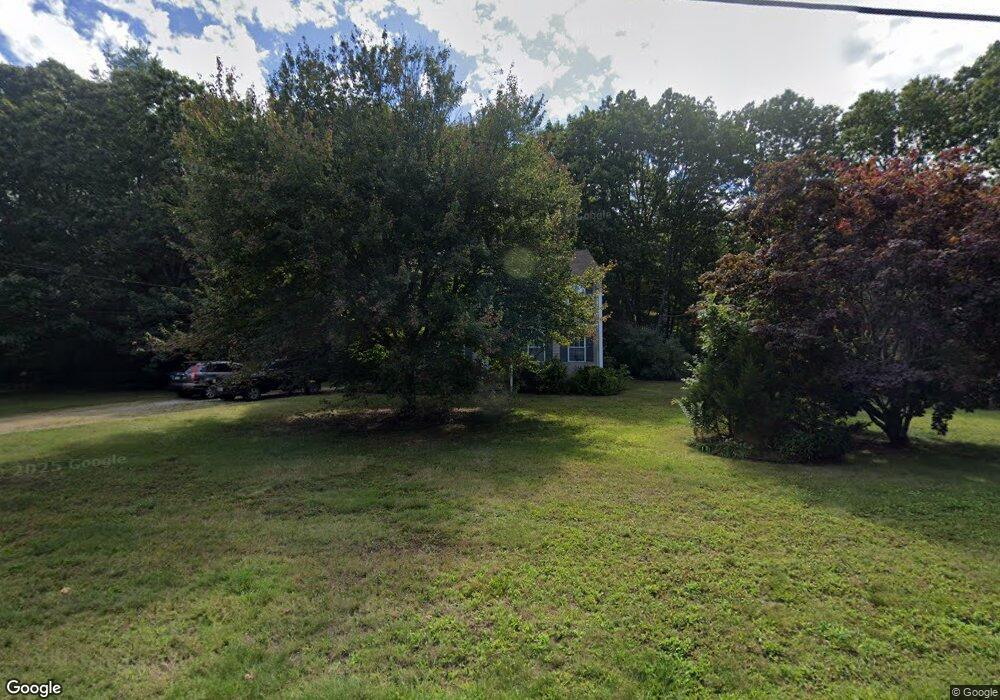
8 Hesspar Dr Westerly, RI 02891
Estimated Value: $542,000 - $628,000
3
Beds
2
Baths
2,032
Sq Ft
$282/Sq Ft
Est. Value
About This Home
This home is located at 8 Hesspar Dr, Westerly, RI 02891 and is currently estimated at $572,195, approximately $281 per square foot. 8 Hesspar Dr is a home located in Washington County with nearby schools including Westerly High School and St. Michael School.
Ownership History
Date
Name
Owned For
Owner Type
Purchase Details
Closed on
Feb 16, 1996
Sold by
Bard Mark
Bought by
Heidtman Christopher and Heidtman Kimberly
Current Estimated Value
Home Financials for this Owner
Home Financials are based on the most recent Mortgage that was taken out on this home.
Original Mortgage
$115,000
Interest Rate
6.99%
Create a Home Valuation Report for This Property
The Home Valuation Report is an in-depth analysis detailing your home's value as well as a comparison with similar homes in the area
Home Values in the Area
Average Home Value in this Area
Purchase History
| Date | Buyer | Sale Price | Title Company |
|---|---|---|---|
| Heidtman Christopher | $125,000 | -- |
Source: Public Records
Mortgage History
| Date | Status | Borrower | Loan Amount |
|---|---|---|---|
| Open | Heidtman Christopher | $242,527 | |
| Closed | Heidtman Christopher | $265,000 | |
| Closed | Heidtman Christopher | $25,000 | |
| Closed | Heidtman Christopher | $115,000 |
Source: Public Records
Tax History Compared to Growth
Tax History
| Year | Tax Paid | Tax Assessment Tax Assessment Total Assessment is a certain percentage of the fair market value that is determined by local assessors to be the total taxable value of land and additions on the property. | Land | Improvement |
|---|---|---|---|---|
| 2025 | $3,498 | $492,000 | $202,100 | $289,900 |
| 2024 | $3,773 | $384,600 | $144,400 | $240,200 |
| 2023 | $3,598 | $374,000 | $144,400 | $229,600 |
| 2022 | $3,575 | $374,000 | $144,400 | $229,600 |
| 2021 | $3,655 | $317,300 | $125,600 | $191,700 |
| 2020 | $3,589 | $317,300 | $125,600 | $191,700 |
| 2019 | $3,554 | $317,300 | $125,600 | $191,700 |
| 2018 | $3,318 | $279,300 | $125,600 | $153,700 |
| 2017 | $3,237 | $279,300 | $125,600 | $153,700 |
| 2016 | $3,262 | $279,300 | $125,600 | $153,700 |
| 2015 | $3,021 | $279,200 | $121,500 | $157,700 |
| 2014 | $2,971 | $279,200 | $121,500 | $157,700 |
Source: Public Records
Map
Nearby Homes
- 23 Pond St
- 37 Pound Rd
- 35 Pound Rd
- 17 Apache Dr Unit G
- 11 Apache Dr Unit D
- 9 Apache Dr Unit C
- 0 Iroquois Ave
- 118 Dunns Corner Rd
- 16 Boiling Spring Ave
- 5 Boy Scout Dr
- 101 Ashaway Rd
- 53 Bradford Rd
- 103 Ashaway Rd
- 94 Ashaway Rd
- 28 Whipple Ave
- 67 Cross St
- 57 School St
- 52 Spruce St
- 24 George St
- 44 George St