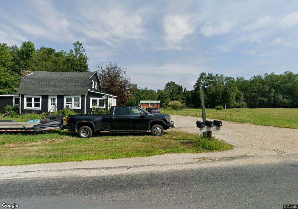
8 Hutchins Way Nelson, NH 03457
Estimated Value: $127,000 - $151,951
1
Bed
1
Bath
781
Sq Ft
$176/Sq Ft
Est. Value
About This Home
This home is located at 8 Hutchins Way, Nelson, NH 03457 and is currently estimated at $137,488, approximately $176 per square foot. 8 Hutchins Way is a home located in Cheshire County with nearby schools including Keene Middle School and Keene High School.
Ownership History
Date
Name
Owned For
Owner Type
Purchase Details
Closed on
Feb 3, 2025
Sold by
Hutchins Joshua A
Bought by
Descoteaux Cory M and Manning Philana
Current Estimated Value
Home Financials for this Owner
Home Financials are based on the most recent Mortgage that was taken out on this home.
Original Mortgage
$121,250
Outstanding Balance
$120,521
Interest Rate
6.85%
Mortgage Type
Purchase Money Mortgage
Estimated Equity
$16,967
Purchase Details
Closed on
Aug 22, 2019
Sold by
Hutchins Victor R Est
Bought by
Hutcins Joshua A
Create a Home Valuation Report for This Property
The Home Valuation Report is an in-depth analysis detailing your home's value as well as a comparison with similar homes in the area
Home Values in the Area
Average Home Value in this Area
Purchase History
| Date | Buyer | Sale Price | Title Company |
|---|---|---|---|
| Descoteaux Cory M | $125,000 | None Available | |
| Descoteaux Cory M | $125,000 | None Available | |
| Hutcins Joshua A | -- | -- |
Source: Public Records
Mortgage History
| Date | Status | Borrower | Loan Amount |
|---|---|---|---|
| Open | Descoteaux Cory M | $121,250 | |
| Closed | Descoteaux Cory M | $121,250 |
Source: Public Records
Tax History Compared to Growth
Tax History
| Year | Tax Paid | Tax Assessment Tax Assessment Total Assessment is a certain percentage of the fair market value that is determined by local assessors to be the total taxable value of land and additions on the property. | Land | Improvement |
|---|---|---|---|---|
| 2024 | $2,541 | $143,500 | $86,900 | $56,600 |
| 2023 | $2,141 | $143,500 | $86,900 | $56,600 |
| 2022 | $2,026 | $143,500 | $86,900 | $56,600 |
| 2021 | $2,183 | $143,500 | $86,900 | $56,600 |
| 2020 | $1,389 | $73,600 | $34,100 | $39,500 |
| 2019 | $1,270 | $73,600 | $34,100 | $39,500 |
| 2018 | $1,344 | $73,600 | $34,100 | $39,500 |
| 2017 | $1,362 | $73,600 | $34,100 | $39,500 |
| 2016 | $1,449 | $73,600 | $34,100 | $39,500 |
| 2015 | $1,955 | $95,500 | $47,100 | $48,400 |
| 2014 | $1,997 | $95,500 | $47,100 | $48,400 |
| 2013 | $1,847 | $92,900 | $44,900 | $48,000 |
Source: Public Records
Map
Nearby Homes
- 45 Henderson Rd
- 72 W Shore Rd
- 22 Lakeview Terrace
- 258 Valley Rd
- 95 Apple Hill Rd
- 32 Old Stoddard Rd
- 0 Connor Dr
- 0 Old Stoddard Rd
- 24 White Brook Dr
- Lot 53 Apple Hill Rd
- 105 South Rd
- 101 Gilsum Rd
- 0 Teela Dr Unit 5037010
- 65 Nelson Rd
- 0 Juniper Hill Rd Unit 5051120
- 138 Miller Dr
- 42-11 Route 9
- 29 Nash Corner Rd
- 321 Route 123 N
- Lot 4 Belvedere Rd
- 3 Hutchins Way
- 20 Hutchins Way
- 1220 Nelson Rd
- 1194 Nelson Rd
- 1215 Nelson Rd
- 1197 Nelson Rd
- 1234 Nelson Rd
- 1182 Nelson Rd
- 1179 Nelson Rd
- 25 Jewett Dr
- 1170 Nelson Rd
- 0 Granite Lake Rd
- 53 Jewett Dr
- 1160 Nelson Rd
- 1153 Nelson Rd
- 1150 Nelson Rd
- 247 Granite Lake Rd
- 11 Taylor Mill Rd
- 1138 Nelson Rd
- 202 Granite Lake Rd