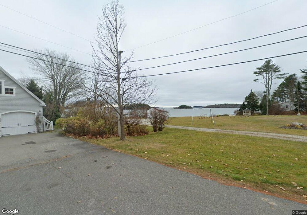
8 Island View Ln Freeport, ME 04032
Estimated Value: $977,000 - $1,177,686
--
Bed
--
Bath
--
Sq Ft
1.28
Acres
About This Home
This home is located at 8 Island View Ln, Freeport, ME 04032 and is currently estimated at $1,094,922. 8 Island View Ln is a home with nearby schools including Morse Street School, Mast Landing School, and Freeport Middle School.
Ownership History
Date
Name
Owned For
Owner Type
Purchase Details
Closed on
Sep 30, 2025
Sold by
Austin Ft and Austin A
Bought by
Charbonneau Edward and Charbonneau Elissa
Current Estimated Value
Purchase Details
Closed on
Jun 10, 2022
Sold by
Martin Lawrence B and Bowe Dorothy
Bought by
Austin Ft 2 and Austin
Create a Home Valuation Report for This Property
The Home Valuation Report is an in-depth analysis detailing your home's value as well as a comparison with similar homes in the area
Home Values in the Area
Average Home Value in this Area
Purchase History
| Date | Buyer | Sale Price | Title Company |
|---|---|---|---|
| Charbonneau Edward | $2,000,000 | -- | |
| Bowe Dorothy | -- | -- | |
| Austin Ft 2 | -- | None Available | |
| Austin Ft 2 | -- | None Available | |
| Austin Ft 2 | -- | None Available | |
| Austin Ft 2 | -- | None Available | |
| Austin Ft 2 | -- | None Available | |
| Austin Ft 2 | -- | None Available |
Source: Public Records
Tax History Compared to Growth
Tax History
| Year | Tax Paid | Tax Assessment Tax Assessment Total Assessment is a certain percentage of the fair market value that is determined by local assessors to be the total taxable value of land and additions on the property. | Land | Improvement |
|---|---|---|---|---|
| 2024 | $8,565 | $641,600 | $442,000 | $199,600 |
| 2023 | $7,959 | $578,800 | $401,800 | $177,000 |
| 2022 | $6,605 | $483,900 | $327,000 | $156,900 |
| 2021 | $6,461 | $484,000 | $327,000 | $157,000 |
| 2020 | $6,264 | $447,400 | $302,700 | $144,700 |
| 2019 | $6,010 | $420,300 | $285,600 | $134,700 |
| 2018 | $5,766 | $399,200 | $277,000 | $122,200 |
| 2017 | $5,573 | $372,800 | $256,400 | $116,400 |
| 2016 | $5,435 | $344,000 | $236,200 | $107,800 |
| 2015 | $5,524 | $328,800 | $231,300 | $97,500 |
| 2014 | $5,206 | $329,500 | $231,300 | $98,200 |
| 2013 | $5,004 | $315,700 | $213,900 | $101,800 |
Source: Public Records
Map
Nearby Homes
- 44 Maquoit Dr
- 71 Merganser Way
- 136 Flying Point Rd
- 83 Central Ave
- 7 Lmc Ln
- 4 Sandy Beach Rd
- 56 S Freeport Rd
- 9 Apple Ridge Rd
- 46 Blackstone Club Rd
- Lot # 4 South St
- 5 Indian Ridge Rd
- 28 Harvest Ridge Rd Unit 25
- 12 West St
- 26 Harvest Ridge Rd Unit 24
- 0 S Freeport Rd
- 15 Loon Rd
- 125 Sunset Cove Rd
- 1612 U S Route 1
- Map 80 Lot 18-0 White Island
- 11 Orchard Hill Rd
- 12 Island View Ln
- 16 Island View Ln
- 14 Island View Ln
- 20 Island View Ln
- 331 Lower Flying Point Rd
- 23 Island View Ln
- 317 Lower Flying Point Rd
- 327 Lower Flying Point Rd
- 327 Lower Flying Point Rd
- 327 Lower Flying Point Rd Unit 2
- 24 Island View Ln
- 8 Blossom Ln
- 10 Blossom Ln
- 12 Blossom Ln
- 9 Blossom Ln
- 7 Blossom Ln
- 17 Island View Ln
- 26 Island View Ln
- 28 Island View Ln
- 30 Island View Ln