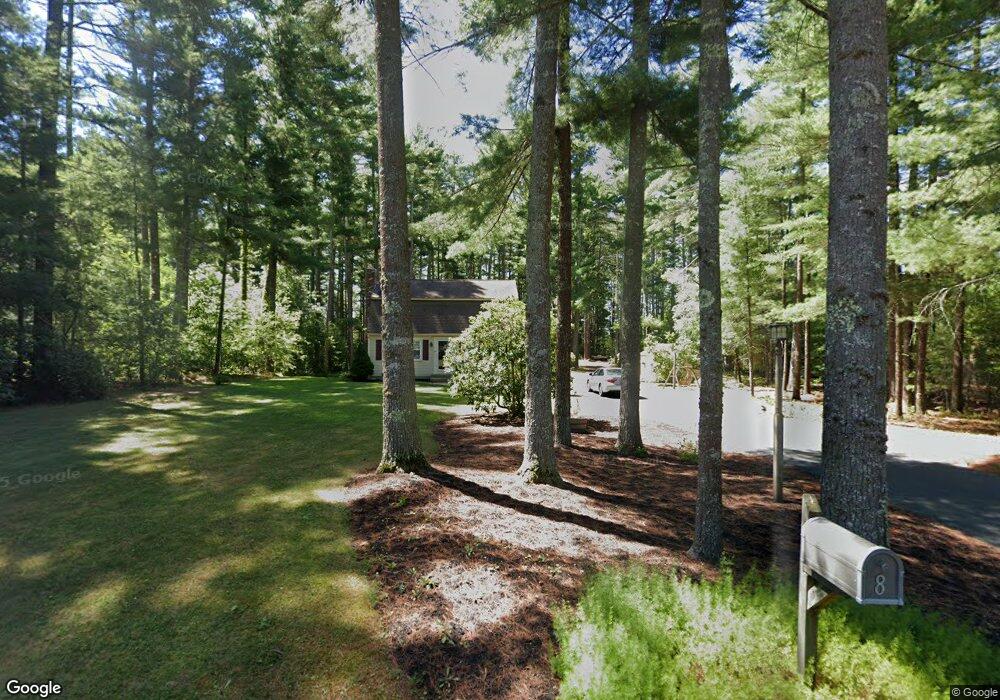
8 Jason Dr Carver, MA 02330
Estimated Value: $493,000 - $614,000
3
Beds
2
Baths
1,498
Sq Ft
$377/Sq Ft
Est. Value
About This Home
This home is located at 8 Jason Dr, Carver, MA 02330 and is currently estimated at $564,988, approximately $377 per square foot. 8 Jason Dr is a home located in Plymouth County with nearby schools including Carver Elementary School.
Ownership History
Date
Name
Owned For
Owner Type
Purchase Details
Closed on
Feb 28, 1997
Sold by
Pizzi Dennis J and Pizzi Ellen M
Bought by
Mccormack Richard R and Mccormack Jodi L
Current Estimated Value
Purchase Details
Closed on
Dec 29, 1994
Sold by
Devaney Joseph R and Devaney Lucille O
Bought by
Pizzi Dennis J and Pizzi Ellen M
Create a Home Valuation Report for This Property
The Home Valuation Report is an in-depth analysis detailing your home's value as well as a comparison with similar homes in the area
Home Values in the Area
Average Home Value in this Area
Purchase History
| Date | Buyer | Sale Price | Title Company |
|---|---|---|---|
| Mccormack Richard R | $125,000 | -- | |
| Pizzi Dennis J | $111,500 | -- |
Source: Public Records
Mortgage History
| Date | Status | Borrower | Loan Amount |
|---|---|---|---|
| Open | Pizzi Dennis J | $198,000 | |
| Closed | Pizzi Dennis J | $200,000 | |
| Closed | Pizzi Dennis J | $167,000 |
Source: Public Records
Tax History Compared to Growth
Tax History
| Year | Tax Paid | Tax Assessment Tax Assessment Total Assessment is a certain percentage of the fair market value that is determined by local assessors to be the total taxable value of land and additions on the property. | Land | Improvement |
|---|---|---|---|---|
| 2025 | $6,753 | $486,900 | $156,200 | $330,700 |
| 2024 | $6,559 | $462,900 | $160,700 | $302,200 |
| 2023 | $6,355 | $435,600 | $160,700 | $274,900 |
| 2022 | $6,000 | $375,500 | $137,400 | $238,100 |
| 2021 | $5,929 | $350,000 | $122,700 | $227,300 |
| 2020 | $5,656 | $329,000 | $114,700 | $214,300 |
| 2019 | $5,434 | $318,700 | $111,300 | $207,400 |
| 2018 | $5,263 | $298,500 | $111,300 | $187,200 |
| 2017 | $5,084 | $287,400 | $107,100 | $180,300 |
| 2016 | $4,678 | $274,700 | $102,000 | $172,700 |
| 2015 | $4,589 | $269,800 | $102,000 | $167,800 |
| 2014 | $4,577 | $269,100 | $128,900 | $140,200 |
Source: Public Records
Map
Nearby Homes
- 9 Everett St
- 2 Cranberry Cir
- 3 Rochester Rd
- 28 S Main St
- 19 Pine Ridge Way
- 28 Wareham St
- 210 Tremont St
- Lot 1 Ohana Way
- 5 Ohana Way
- Lot 2 Ohana Way
- 663 Wareham St Unit 8
- 663 Wareham St Unit 6
- 664 Wareham St
- 571 Wareham St
- 38 Copper Lantern Ln
- 5 Marks Way
- 558 Wareham St
- 23 Marks Way
- 29 Pipers Way
- 40 Spruce St