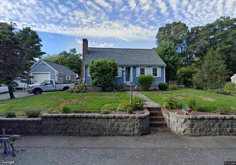
8 Lane Rd Dennis Port, MA 02639
Dennis Port NeighborhoodEstimated Value: $688,086 - $748,000
4
Beds
1
Bath
1,764
Sq Ft
$408/Sq Ft
Est. Value
About This Home
This home is located at 8 Lane Rd, Dennis Port, MA 02639 and is currently estimated at $719,772, approximately $408 per square foot. 8 Lane Rd is a home located in Barnstable County with nearby schools including Dennis-Yarmouth Regional High School and St. Pius X. School.
Ownership History
Date
Name
Owned For
Owner Type
Purchase Details
Closed on
May 20, 1966
Bought by
Farrell Robert E and Farrell Linda C
Current Estimated Value
Create a Home Valuation Report for This Property
The Home Valuation Report is an in-depth analysis detailing your home's value as well as a comparison with similar homes in the area
Home Values in the Area
Average Home Value in this Area
Purchase History
| Date | Buyer | Sale Price | Title Company |
|---|---|---|---|
| Farrell Robert E | -- | -- |
Source: Public Records
Mortgage History
| Date | Status | Borrower | Loan Amount |
|---|---|---|---|
| Open | Farrell Robert E | $88,000 | |
| Closed | Farrell Robert E | $10,000 | |
| Closed | Farrell Robert E | $55,000 |
Source: Public Records
Tax History Compared to Growth
Tax History
| Year | Tax Paid | Tax Assessment Tax Assessment Total Assessment is a certain percentage of the fair market value that is determined by local assessors to be the total taxable value of land and additions on the property. | Land | Improvement |
|---|---|---|---|---|
| 2025 | $2,864 | $661,400 | $128,000 | $533,400 |
| 2024 | $2,641 | $601,500 | $130,400 | $471,100 |
| 2023 | $2,652 | $567,800 | $118,500 | $449,300 |
| 2022 | $2,537 | $453,100 | $118,600 | $334,500 |
| 2021 | $0 | $371,200 | $104,700 | $266,500 |
| 2020 | $2,172 | $356,100 | $104,700 | $251,400 |
| 2019 | $2,021 | $327,600 | $102,600 | $225,000 |
| 2018 | $0 | $310,300 | $97,700 | $212,600 |
| 2017 | $38,008 | $310,300 | $97,700 | $212,600 |
| 2016 | $1,858 | $284,500 | $108,600 | $175,900 |
| 2015 | $1,821 | $284,500 | $108,600 | $175,900 |
| 2014 | $1,627 | $256,200 | $86,800 | $169,400 |
Source: Public Records
Map
Nearby Homes
- 11 Lane Rd
- 91 Depot Rd W
- 47 Telegraph Rd Unit 1
- 24 Indian Trail
- 9 Country Ln
- 141 Division St
- 141 Division St
- 78 Upper County Rd Unit A&B
- 78 Upper County Rd
- 12 Candlewood Ln Unit 2-9
- 10 Candlewood Ln Unit 2-1
- 9 Bells Neck Rd Unit 10
- 45 Route 28
- 537 Depot St
- 9 Mansion St
- 40 Willow St
- 79 Massachusetts 28
- 64 Smith St
- 20 Aunt Debbys Rd
- 73 Division St