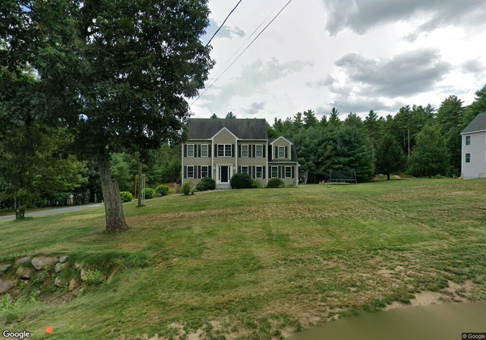
8 Laurel Crest Dr Brookline, NH 03033
Estimated Value: $717,697 - $862,000
4
Beds
3
Baths
2,812
Sq Ft
$277/Sq Ft
Est. Value
About This Home
This home is located at 8 Laurel Crest Dr, Brookline, NH 03033 and is currently estimated at $779,924, approximately $277 per square foot. 8 Laurel Crest Dr is a home with nearby schools including Richard Maghakian Memorial School, Captain Samuel Douglass Academy, and Hollis-Brookline Middle School.
Ownership History
Date
Name
Owned For
Owner Type
Purchase Details
Closed on
Nov 1, 2012
Sold by
Patenaude Albert W
Bought by
Feightner Derrick G and Feightner Alisha M
Current Estimated Value
Create a Home Valuation Report for This Property
The Home Valuation Report is an in-depth analysis detailing your home's value as well as a comparison with similar homes in the area
Home Values in the Area
Average Home Value in this Area
Purchase History
| Date | Buyer | Sale Price | Title Company |
|---|---|---|---|
| Feightner Derrick G | $329,000 | -- | |
| Feightner Derrick G | $329,000 | -- |
Source: Public Records
Mortgage History
| Date | Status | Borrower | Loan Amount |
|---|---|---|---|
| Previous Owner | Feightner Derrick G | $356,163 | |
| Closed | Feightner Derrick G | $0 |
Source: Public Records
Tax History Compared to Growth
Tax History
| Year | Tax Paid | Tax Assessment Tax Assessment Total Assessment is a certain percentage of the fair market value that is determined by local assessors to be the total taxable value of land and additions on the property. | Land | Improvement |
|---|---|---|---|---|
| 2024 | $14,366 | $635,400 | $210,000 | $425,400 |
| 2023 | $13,204 | $635,400 | $210,000 | $425,400 |
| 2022 | $11,157 | $375,400 | $120,200 | $255,200 |
| 2021 | $10,729 | $375,400 | $120,200 | $255,200 |
| 2020 | $10,436 | $375,400 | $120,200 | $255,200 |
| 2019 | $11,213 | $375,400 | $120,200 | $255,200 |
| 2018 | $11,097 | $375,400 | $120,200 | $255,200 |
| 2017 | $10,215 | $310,100 | $97,200 | $212,900 |
| 2016 | $10,094 | $310,000 | $97,200 | $212,800 |
| 2015 | $9,626 | $310,000 | $97,200 | $212,800 |
| 2014 | $10,184 | $310,000 | $97,200 | $212,800 |
| 2013 | $9,805 | $310,000 | $97,200 | $212,800 |
Source: Public Records
Map
Nearby Homes
- 15 N End Rd
- 364 Townsend Hill Rd
- 7 Winterberry Rd
- 9 Winterberry Rd
- 55 Oak Hill Rd
- 46 Oak Hill Rd
- 0 Brookline St
- 6 High Oaks Path
- 64 Meadow Rd
- 21 Cranberry St
- 6 Flint Meadow Dr
- 110 Haynes Rd
- 22 Hobart Hill Rd
- 1235 Townsend Rd
- 91 Highland St
- 75 Highland St
- 167 Route 13
- 10 Stearns Ave
- 28A Rocky Pond Rd
- 179 Brookline St
- 10 Laurel Crest Dr
- 6 Laurel Crest Dr
- 12 Baldwin Dr
- 7 Laurel Crest Dr
- 4 Captain Douglas Dr
- 4 Captain Douglas Dr
- 4 Laurel Crest Dr
- 1 Baldwin Ln Unit 12
- 2 Mead Dr
- 9 Laurel Crest Dr
- 2 Laurel Crest Dr
- 2 Laurel Crest Dr
- 11 Laurelcrest Dr
- 4 Baldwin Ln
- 4 Baldwin Dr
- 11 Laurel Crest Dr
- 3 Barnaby Way
- 5 Baldwin Dr
- 1 Laurel Crest Dr