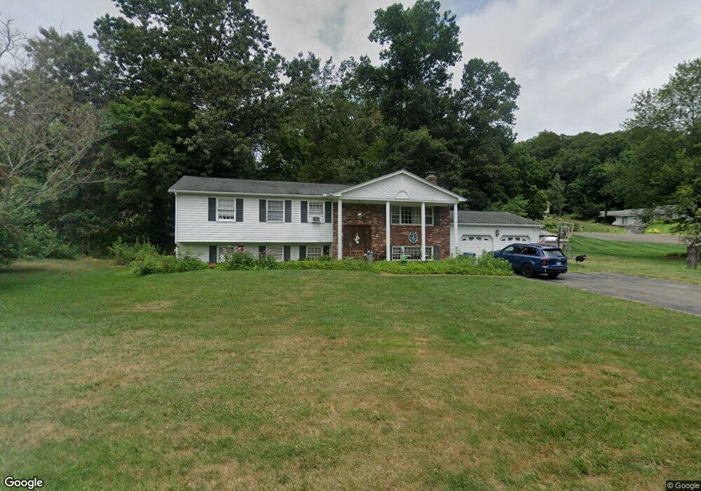
8 Lost Brook Ln Wallingford, CT 06492
Estimated Value: $478,000 - $615,000
5
Beds
3
Baths
1,352
Sq Ft
$392/Sq Ft
Est. Value
About This Home
This home is located at 8 Lost Brook Ln, Wallingford, CT 06492 and is currently estimated at $529,484, approximately $391 per square foot. 8 Lost Brook Ln is a home located in New Haven County with nearby schools including Evarts C. Stevens School, Parker Farms School, and James H. Moran Middle School.
Ownership History
Date
Name
Owned For
Owner Type
Purchase Details
Closed on
Jan 22, 2002
Sold by
Damato Francine
Bought by
Tangari Timothy M and Tangari Jennifer A
Current Estimated Value
Purchase Details
Closed on
Oct 7, 1996
Sold by
Lysz Robert J
Bought by
Damato Paul and Damato Francine
Purchase Details
Closed on
Aug 30, 1988
Sold by
Mcgowan David P
Bought by
Lysz Robert J
Create a Home Valuation Report for This Property
The Home Valuation Report is an in-depth analysis detailing your home's value as well as a comparison with similar homes in the area
Home Values in the Area
Average Home Value in this Area
Purchase History
| Date | Buyer | Sale Price | Title Company |
|---|---|---|---|
| Tangari Timothy M | $262,500 | -- | |
| Tangari Timothy M | $262,500 | -- | |
| Damato Paul | $185,000 | -- | |
| Damato Paul | $185,000 | -- | |
| Lysz Robert J | $210,000 | -- |
Source: Public Records
Mortgage History
| Date | Status | Borrower | Loan Amount |
|---|---|---|---|
| Open | Lysz Robert J | $225,000 | |
| Closed | Lysz Robert J | $44,900 | |
| Closed | Lysz Robert J | $231,000 |
Source: Public Records
Tax History Compared to Growth
Tax History
| Year | Tax Paid | Tax Assessment Tax Assessment Total Assessment is a certain percentage of the fair market value that is determined by local assessors to be the total taxable value of land and additions on the property. | Land | Improvement |
|---|---|---|---|---|
| 2025 | $7,313 | $303,200 | $104,700 | $198,500 |
| 2024 | $6,580 | $214,600 | $83,600 | $131,000 |
| 2023 | $6,296 | $214,600 | $83,600 | $131,000 |
| 2022 | $6,232 | $214,600 | $83,600 | $131,000 |
| 2021 | $6,120 | $214,600 | $83,600 | $131,000 |
| 2020 | $5,972 | $204,600 | $90,000 | $114,600 |
| 2019 | $5,972 | $204,600 | $90,000 | $114,600 |
| 2018 | $5,860 | $204,600 | $90,000 | $114,600 |
| 2017 | $5,841 | $204,600 | $90,000 | $114,600 |
| 2016 | $5,706 | $204,600 | $90,000 | $114,600 |
| 2015 | $5,840 | $212,600 | $93,200 | $119,400 |
| 2014 | $5,717 | $212,600 | $93,200 | $119,400 |
Source: Public Records
Map
Nearby Homes
- 3 Jones Rd
- 37 Hallmark Hill Dr Unit 37
- 7 Cheshire Rd
- 56 Summerhill Rd
- 39 Robert Ln
- 120 Brentwood Dr
- 44 West St
- 23 West St
- 26 West St
- 109 Clifton St
- 253 Cook Hill Rd
- 350 S Cherry St
- 276 Parker Farms Rd
- 102 Judd Square Unit 102
- 333 S Orchard St
- 25 Forest Rd
- 212 S Orchard St
- 48 Deer Run Rd
- 85 N Colony St
- 3 Grandview Ct
- 22 Montowese Trail
- 16 Lost Brook Ln
- 5 Lost Brook Ln
- 14 Montowese Trail
- 19 Montowese Trail
- 23 Montowese Trail
- 11 Lost Brook Ln
- 28 Montowese Trail
- 17 Lost Brook Ln
- 15 Montowese Trail
- 27 Montowese Trail
- 20 Lost Brook Ln
- 21 Lost Brook Ln
- 32 Montowese Trail
- 7 Montowese Trail
- 36 Montowese Trail
- 3 Spring Brook Rd
- 23 Marc Dr
- 19 Marc Dr
- 5 Montowese Trail