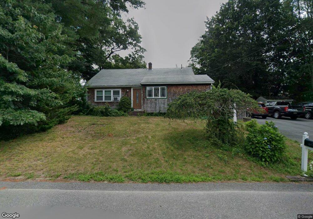
8 Lydon Ln Kingston, MA 02364
Estimated Value: $522,921 - $555,000
3
Beds
2
Baths
1,098
Sq Ft
$493/Sq Ft
Est. Value
About This Home
This home is located at 8 Lydon Ln, Kingston, MA 02364 and is currently estimated at $541,230, approximately $492 per square foot. 8 Lydon Ln is a home located in Plymouth County with nearby schools including Silver Lake Regional High School, Kingston Elementary School, and Kingston Intermediate School.
Ownership History
Date
Name
Owned For
Owner Type
Purchase Details
Closed on
Dec 6, 2017
Sold by
Walsh Arthur F and Walsh Janice I
Bought by
Peterson Jeffrey L and Peterson Denise E
Current Estimated Value
Purchase Details
Closed on
Nov 7, 2000
Sold by
Scott Steven A
Bought by
Copeland Ronald S and Copeland Thomasine T
Home Financials for this Owner
Home Financials are based on the most recent Mortgage that was taken out on this home.
Original Mortgage
$100,383
Interest Rate
7.83%
Mortgage Type
Purchase Money Mortgage
Create a Home Valuation Report for This Property
The Home Valuation Report is an in-depth analysis detailing your home's value as well as a comparison with similar homes in the area
Home Values in the Area
Average Home Value in this Area
Purchase History
| Date | Buyer | Sale Price | Title Company |
|---|---|---|---|
| Peterson Jeffrey L | -- | -- | |
| Copeland Ronald S | $103,500 | -- |
Source: Public Records
Mortgage History
| Date | Status | Borrower | Loan Amount |
|---|---|---|---|
| Previous Owner | Copeland Ronald S | $287,700 | |
| Previous Owner | Copeland Ronald S | $171,000 | |
| Previous Owner | Copeland Ronald S | $100,383 |
Source: Public Records
Tax History
| Year | Tax Paid | Tax Assessment Tax Assessment Total Assessment is a certain percentage of the fair market value that is determined by local assessors to be the total taxable value of land and additions on the property. | Land | Improvement |
|---|---|---|---|---|
| 2025 | $5,567 | $429,200 | $201,200 | $228,000 |
| 2024 | $5,350 | $420,900 | $201,200 | $219,700 |
| 2023 | $5,248 | $392,800 | $201,200 | $191,600 |
| 2022 | $4,934 | $338,400 | $178,400 | $160,000 |
| 2021 | $4,740 | $294,800 | $164,200 | $130,600 |
| 2020 | $1,033 | $272,900 | $164,200 | $108,700 |
| 2019 | $50,887 | $262,000 | $164,200 | $97,800 |
| 2018 | $1,065 | $260,500 | $164,200 | $96,300 |
| 2017 | $50,668 | $254,200 | $159,500 | $94,700 |
| 2016 | $4,466 | $253,600 | $150,900 | $102,700 |
| 2015 | $4,296 | $253,600 | $150,900 | $102,700 |
| 2014 | $4,117 | $246,800 | $145,900 | $100,900 |
Source: Public Records
Map
Nearby Homes
- 25 Little Brook Rd
- 32 Little Brook Rd
- 15 Forest St
- 167 Grove St
- 26 Jessica Cir
- 118 Plain St
- 0 Wildwood Cir
- 25 Lawrence Rd
- 46 Foxworth Ln
- 820 Center St
- 83 Wapping Rd
- 43 Buttonwood Rd
- 79 Wapping Rd
- 0 Thompson St
- 477 Twin Lakes Dr
- 528 Twin Lakes Dr
- 37 Annawon Dr
- 49 Thompson St
- 46 Blueberry Ln
- 290 School St