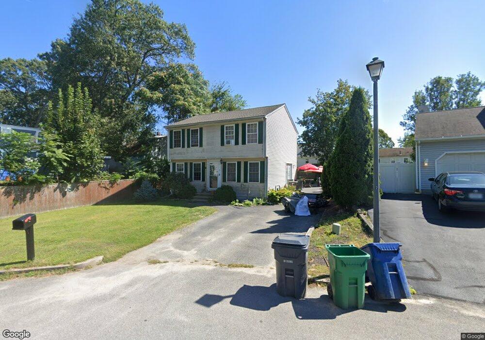
8 Meaghan Brooke Ln Warwick, RI 02888
Norwood NeighborhoodEstimated Value: $447,853 - $510,000
3
Beds
2
Baths
1,400
Sq Ft
$338/Sq Ft
Est. Value
About This Home
This home is located at 8 Meaghan Brooke Ln, Warwick, RI 02888 and is currently estimated at $472,963, approximately $337 per square foot. 8 Meaghan Brooke Ln is a home located in Kent County with nearby schools including St. Peter School.
Ownership History
Date
Name
Owned For
Owner Type
Purchase Details
Closed on
Sep 26, 2005
Sold by
Trudeau Michael J and Trudeau Denise D
Bought by
Shelton Stephen R and Shelton Stephanie
Current Estimated Value
Home Financials for this Owner
Home Financials are based on the most recent Mortgage that was taken out on this home.
Original Mortgage
$253,000
Interest Rate
5.92%
Mortgage Type
Purchase Money Mortgage
Create a Home Valuation Report for This Property
The Home Valuation Report is an in-depth analysis detailing your home's value as well as a comparison with similar homes in the area
Home Values in the Area
Average Home Value in this Area
Purchase History
| Date | Buyer | Sale Price | Title Company |
|---|---|---|---|
| Shelton Stephen R | $290,000 | -- |
Source: Public Records
Mortgage History
| Date | Status | Borrower | Loan Amount |
|---|---|---|---|
| Open | Shelton Stephen R | $248,795 | |
| Closed | Shelton Stephen R | $253,624 | |
| Closed | Shelton Stephen R | $253,000 |
Source: Public Records
Tax History Compared to Growth
Tax History
| Year | Tax Paid | Tax Assessment Tax Assessment Total Assessment is a certain percentage of the fair market value that is determined by local assessors to be the total taxable value of land and additions on the property. | Land | Improvement |
|---|---|---|---|---|
| 2025 | $4,956 | $390,200 | $98,000 | $292,200 |
| 2024 | $4,914 | $339,600 | $85,200 | $254,400 |
| 2023 | $4,808 | $338,800 | $85,200 | $253,600 |
| 2022 | $4,742 | $253,200 | $56,100 | $197,100 |
| 2021 | $4,742 | $253,200 | $56,100 | $197,100 |
| 2020 | $4,742 | $253,200 | $56,100 | $197,100 |
| 2019 | $4,742 | $253,200 | $56,100 | $197,100 |
| 2018 | $4,191 | $201,500 | $56,100 | $145,400 |
| 2017 | $4,078 | $201,500 | $56,100 | $145,400 |
| 2016 | $4,078 | $201,500 | $56,100 | $145,400 |
| 2015 | $3,822 | $184,200 | $55,500 | $128,700 |
| 2014 | $3,695 | $184,200 | $55,500 | $128,700 |
| 2013 | $3,645 | $184,200 | $55,500 | $128,700 |
Source: Public Records
Map
Nearby Homes
- 16 Meaghan Brooke Ln
- 121 Gould Ave
- 129 Gould Ave
- 115 Gould Ave
- 6 Meaghan Brooke Ln
- 5 Meaghan Brooke Ln
- 2 Meaghan Brooke Ln
- 3 Meaghan Brooke Ln
- 225 3rd Ave
- 217 3rd Ave
- 0 Meaghan Brooke Ln
- 109 Gould Ave
- 139 Gould Ave
- 15 Meaghan Brooke Ln
- 26 Meaghan Brooke Ln
- 237 3rd Ave
- 128 Gould Ave
- 114 Nolbeth Dr
- 110 Nolbeth Dr
- 105 Gould Ave