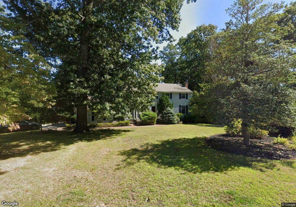
8 Metacomett Rd Scituate, MA 02066
Estimated Value: $1,004,117 - $1,159,000
3
Beds
2
Baths
2,240
Sq Ft
$474/Sq Ft
Est. Value
About This Home
This home is located at 8 Metacomett Rd, Scituate, MA 02066 and is currently estimated at $1,062,279, approximately $474 per square foot. 8 Metacomett Rd is a home located in Plymouth County with nearby schools including Jenkins Elementary School, Lester J. Gates Middle School, and Scituate High School.
Ownership History
Date
Name
Owned For
Owner Type
Purchase Details
Closed on
May 29, 2018
Sold by
Hunington Michael
Bought by
Michael Huntington Lt
Current Estimated Value
Purchase Details
Closed on
Apr 7, 2015
Sold by
Huntington Carolyn T
Bought by
Huntington Michael
Home Financials for this Owner
Home Financials are based on the most recent Mortgage that was taken out on this home.
Original Mortgage
$137,545
Interest Rate
3.75%
Create a Home Valuation Report for This Property
The Home Valuation Report is an in-depth analysis detailing your home's value as well as a comparison with similar homes in the area
Home Values in the Area
Average Home Value in this Area
Purchase History
| Date | Buyer | Sale Price | Title Company |
|---|---|---|---|
| Michael Huntington Lt | -- | -- | |
| Huntington Michael | -- | -- |
Source: Public Records
Mortgage History
| Date | Status | Borrower | Loan Amount |
|---|---|---|---|
| Previous Owner | Huntington Michael | $137,545 |
Source: Public Records
Tax History Compared to Growth
Tax History
| Year | Tax Paid | Tax Assessment Tax Assessment Total Assessment is a certain percentage of the fair market value that is determined by local assessors to be the total taxable value of land and additions on the property. | Land | Improvement |
|---|---|---|---|---|
| 2025 | $8,358 | $836,600 | $401,600 | $435,000 |
| 2024 | $8,201 | $791,600 | $365,100 | $426,500 |
| 2023 | $8,261 | $745,400 | $350,400 | $395,000 |
| 2022 | $8,261 | $654,600 | $323,600 | $331,000 |
| 2021 | $8,053 | $604,100 | $308,200 | $295,900 |
| 2020 | $7,806 | $578,200 | $296,300 | $281,900 |
| 2019 | $7,645 | $556,400 | $290,500 | $265,900 |
| 2018 | $7,558 | $541,800 | $299,700 | $242,100 |
| 2017 | $7,334 | $520,500 | $287,700 | $232,800 |
| 2016 | $7,021 | $496,500 | $263,700 | $232,800 |
| 2015 | $6,347 | $484,500 | $251,700 | $232,800 |
Source: Public Records
Map
Nearby Homes
- 12 Sassamon Rd
- 51 Edgewood Rd
- 17 Old Oaken Bucket Rd
- 19 Ford Place Unit 3
- 19 Ford Place Unit 1
- 19 Ford Place Unit 4
- 49 Cornet Stetson Rd
- 115 Elm St
- 111 Elm St
- 0 Branch
- 29 Ladds Way Unit 29
- 116 Old Forge Rd
- 15 Bearce Ln
- 146 Chief Justice Cushing Hwy
- 290 Beaver Dam Rd
- 9 Cushing Park Rd
- 67 Greenfield Ln
- 18 James Way
- 59 Greenfield Ln
- 48 Neal Gate St
- 14 Metacomett Rd
- 78 Satuit Trail
- 9 Metacomett Rd
- 16 Metacomett Rd
- 16 Metacomett Rd Unit 16
- 15 Metacomett Rd
- 84 Satuit Trail
- 81 Satuit Trail
- 39 Eisenhower Ln
- 28 Eisenhower Ln
- 33 Eisenhower Ln
- 90 Satuit Trail
- 8 Sherman Dr
- 64 Satuit Trail
- 24 Eisenhower Ln
- 67 Satuit Trail
- 18 Sherman Dr
- 21 Eisenhower Ln
- 5 Sherman Dr
- 1 Sherman Dr