8 Moore St Erving, MA 01344
Estimated Value: $254,000 - $609,953
Studio
--
Bath
--
Sq Ft
26,136
Sq Ft Lot
About This Home
This home is located at 8 Moore St, Erving, MA 01344 and is currently estimated at $396,984. 8 Moore St is a home with nearby schools including Erving Elementary School.
Ownership History
Date
Name
Owned For
Owner Type
Purchase Details
Closed on
May 10, 2005
Sold by
Paulin James D
Bought by
Paulin James D and Paulin Anita G
Current Estimated Value
Home Financials for this Owner
Home Financials are based on the most recent Mortgage that was taken out on this home.
Original Mortgage
$235,500
Outstanding Balance
$120,938
Interest Rate
6.01%
Mortgage Type
Commercial
Estimated Equity
$276,046
Purchase Details
Closed on
Jun 30, 1992
Sold by
Paulin Deane E and Paulin Barbara A
Bought by
Paulin James D
Create a Home Valuation Report for This Property
The Home Valuation Report is an in-depth analysis detailing your home's value as well as a comparison with similar homes in the area
Home Values in the Area
Average Home Value in this Area
Purchase History
| Date | Buyer | Sale Price | Title Company |
|---|---|---|---|
| Paulin James D | -- | -- | |
| Paulin James D | -- | -- | |
| Paulin James D | -- | -- | |
| Paulin James D | $75,000 | -- | |
| Paulin James D | $75,000 | -- |
Source: Public Records
Mortgage History
| Date | Status | Borrower | Loan Amount |
|---|---|---|---|
| Open | Paulin James D | $69,000 | |
| Open | Paulin James D | $235,500 | |
| Closed | Paulin James D | $235,500 |
Source: Public Records
Tax History
| Year | Tax Paid | Tax Assessment Tax Assessment Total Assessment is a certain percentage of the fair market value that is determined by local assessors to be the total taxable value of land and additions on the property. | Land | Improvement |
|---|---|---|---|---|
| 2025 | $5,053 | $542,800 | $78,600 | $464,200 |
| 2024 | $4,699 | $509,700 | $78,600 | $431,100 |
| 2023 | $4,009 | $501,100 | $78,600 | $422,500 |
| 2022 | $3,967 | $502,200 | $78,600 | $423,600 |
| 2021 | $3,387 | $446,200 | $78,600 | $367,600 |
| 2020 | $3,364 | $446,200 | $78,600 | $367,600 |
| 2019 | $3,291 | $447,800 | $78,600 | $369,200 |
| 2018 | $3,044 | $425,800 | $50,100 | $375,700 |
| 2017 | $2,964 | $425,800 | $50,100 | $375,700 |
| 2016 | $2,878 | $425,800 | $50,100 | $375,700 |
| 2015 | $3,623 | $420,300 | $52,000 | $368,300 |
Source: Public Records
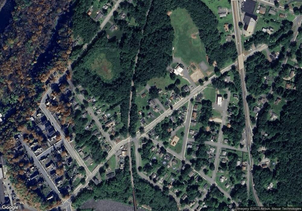
Map
Nearby Homes
- Lots 1-4 Kavanaugh Ln
- 18 Crescent St
- 8 Craig Ave
- 0 French King Hwy
- 183 Millers Falls Rd
- 2 Alice St
- 13 Maple Ave
- 0 Four Mile Brook Rd Unit 73462497
- 45 Millers Falls Rd
- 0 Millers Falls Rd Unit 73034825
- 24 State Rd
- 0 State Rd
- 61 Randall Wood Dr
- 182 Main Rd
- 20 Walnut St
- 8 Country Club Ln
- 805 Fairway Ave
- 12 Ferry Rd
- 0 Old Farley Rd
- 709 Fairway Ave
Your Personal Tour Guide
Ask me questions while you tour the home.