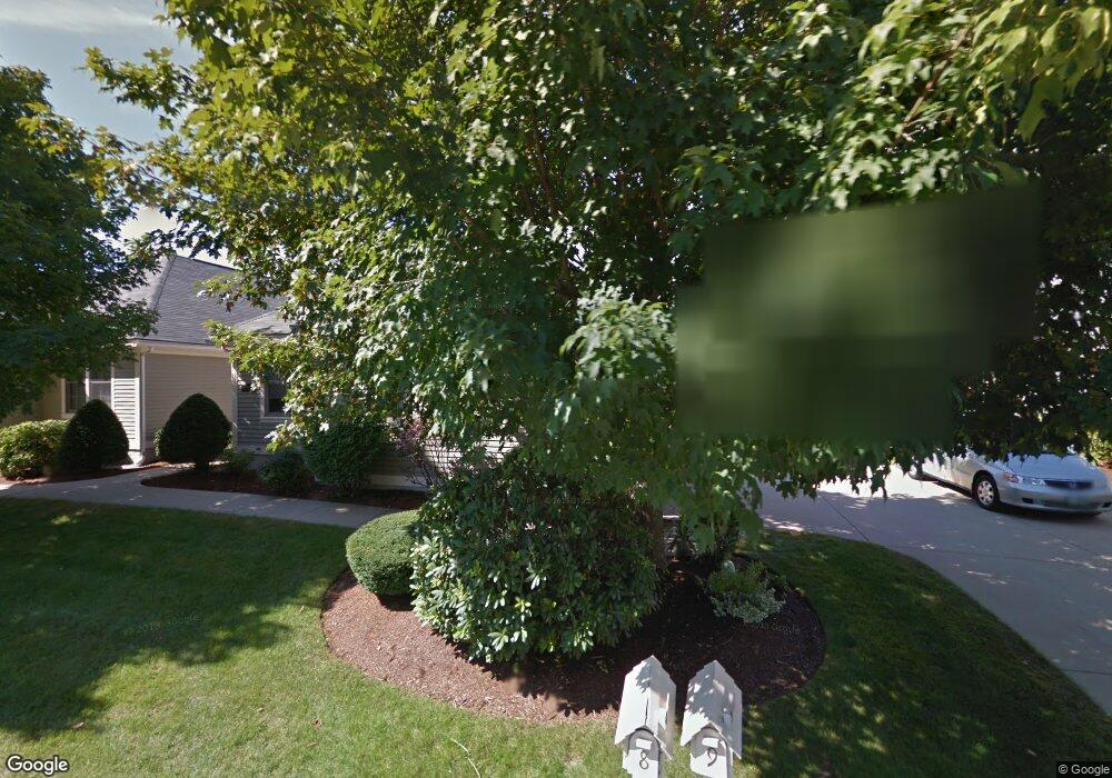
8 Muirfield Rd Bedford, NH 03110
Bedford NeighborhoodEstimated Value: $804,000 - $852,000
2
Beds
2
Baths
1,826
Sq Ft
$451/Sq Ft
Est. Value
About This Home
This home is located at 8 Muirfield Rd, Bedford, NH 03110 and is currently estimated at $823,219, approximately $450 per square foot. 8 Muirfield Rd is a home located in Hillsborough County with nearby schools including Mckelvie Intermediate School, Ross A. Lurgio Middle School, and Bedford High School.
Ownership History
Date
Name
Owned For
Owner Type
Purchase Details
Closed on
Mar 19, 2012
Sold by
Yanagi Steven K and Yanagi Carolyn P
Bought by
Carolyn P Yanagi Ret and Yanagi Carolyn P
Current Estimated Value
Purchase Details
Closed on
Jun 27, 2011
Sold by
Raymond A Defelice Ft
Bought by
Yanagi Steven K and Yanagi Carolyn P
Purchase Details
Closed on
Dec 17, 2001
Sold by
Lindsay Maurice P and Lindsay Regina A
Bought by
Defelice Raymond A and Defelice Janice A
Home Financials for this Owner
Home Financials are based on the most recent Mortgage that was taken out on this home.
Original Mortgage
$186,900
Interest Rate
6.6%
Create a Home Valuation Report for This Property
The Home Valuation Report is an in-depth analysis detailing your home's value as well as a comparison with similar homes in the area
Home Values in the Area
Average Home Value in this Area
Purchase History
| Date | Buyer | Sale Price | Title Company |
|---|---|---|---|
| Carolyn P Yanagi Ret | -- | -- | |
| Yanagi Steven K | $339,900 | -- | |
| Defelice Raymond A | $267,000 | -- |
Source: Public Records
Mortgage History
| Date | Status | Borrower | Loan Amount |
|---|---|---|---|
| Previous Owner | Defelice Raymond A | $253,000 | |
| Previous Owner | Defelice Raymond A | $180,000 | |
| Previous Owner | Defelice Raymond A | $186,900 |
Source: Public Records
Tax History Compared to Growth
Tax History
| Year | Tax Paid | Tax Assessment Tax Assessment Total Assessment is a certain percentage of the fair market value that is determined by local assessors to be the total taxable value of land and additions on the property. | Land | Improvement |
|---|---|---|---|---|
| 2024 | $10,280 | $650,200 | $0 | $650,200 |
| 2023 | $9,623 | $650,200 | $0 | $650,200 |
| 2022 | $9,258 | $526,000 | $0 | $526,000 |
| 2021 | $9,016 | $526,000 | $0 | $526,000 |
| 2020 | $8,563 | $427,700 | $0 | $427,700 |
| 2019 | $8,105 | $427,700 | $0 | $427,700 |
| 2018 | $8,278 | $405,800 | $0 | $405,800 |
| 2017 | $7,674 | $405,800 | $0 | $405,800 |
| 2016 | $6,615 | $295,700 | $0 | $295,700 |
| 2015 | $6,730 | $295,700 | $0 | $295,700 |
| 2014 | $6,653 | $295,700 | $0 | $295,700 |
| 2013 | $6,556 | $295,700 | $0 | $295,700 |
Source: Public Records
Map
Nearby Homes
- 29 Pebble Beach Dr
- 15 Spyglass Point Cir
- 20 Pebble Beach Dr Unit 22-89-20
- 12 Knoll Crest Dr Unit Lot 5 - The Hannah
- 82 Pilgrim Dr
- 34 Briston Ct
- 10 Pimlico Ct Unit UN66
- 112 Riverdale Ave
- 32 Puritan Dr
- 25 Bow St
- 3 Churchill Ct Unit UN111
- 80 Wendover Way
- 412 W Mitchell St
- 20 Liberty Hill Rd
- 545 Calef Rd Unit 26
- 60 Geneva St
- 46 Geneva St
- 197 Liberty Hill Rd
- 145 Fox St
- 80 Billings St
- 4 St Andrews Dr
- 27 St Andrews Dr Unit 27
- 5 Turnberry Cir Unit 5
- 41 St Andrews Dr
- 9 Pebble Beach Dr
- 40 Saint Andrews Dr
- 4 Augusta National Dr
- 2 Augusta National Dr
- 6 Augusta National Dr
- 3 Augusta National Dr
- 1 Augusta National Dr
- 47 Pebble Beach Dr
- 4 Saint Andrews Dr
- 11 Muirfield Rd
- 9 Muirfield Rd
- 7 Muirfield Rd
- 5 Muirfield Rd
- 3 Muirfield Rd
- 2 Muirfield Rd
- 6 Muirfield Rd