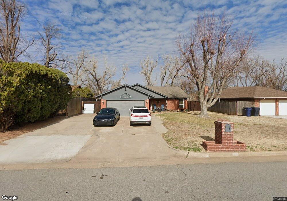
8 N Willowood Dr Yukon, OK 73099
Hollyrock-Silver Maple NeighborhoodEstimated Value: $194,339 - $205,000
3
Beds
2
Baths
1,433
Sq Ft
$140/Sq Ft
Est. Value
About This Home
This home is located at 8 N Willowood Dr, Yukon, OK 73099 and is currently estimated at $200,085, approximately $139 per square foot. 8 N Willowood Dr is a home located in Canadian County with nearby schools including Mustang Creek Elementary School, Meadow Brook Intermediate School, and Mustang Central Middle School.
Ownership History
Date
Name
Owned For
Owner Type
Purchase Details
Closed on
May 15, 2003
Sold by
Hroman Properties Llc
Bought by
Hasty Angela
Current Estimated Value
Home Financials for this Owner
Home Financials are based on the most recent Mortgage that was taken out on this home.
Original Mortgage
$89,281
Outstanding Balance
$38,803
Interest Rate
5.79%
Estimated Equity
$161,282
Purchase Details
Closed on
Jul 13, 2001
Sold by
Hromanik Joseph Paul
Purchase Details
Closed on
Jun 18, 2001
Sold by
Hromanik Michael Peter
Purchase Details
Closed on
Dec 4, 1987
Create a Home Valuation Report for This Property
The Home Valuation Report is an in-depth analysis detailing your home's value as well as a comparison with similar homes in the area
Home Values in the Area
Average Home Value in this Area
Purchase History
| Date | Buyer | Sale Price | Title Company |
|---|---|---|---|
| Hasty Angela | $84,000 | -- | |
| -- | -- | -- | |
| -- | -- | -- | |
| -- | -- | -- | |
| -- | $54,000 | -- |
Source: Public Records
Mortgage History
| Date | Status | Borrower | Loan Amount |
|---|---|---|---|
| Open | -- | $89,281 |
Source: Public Records
Tax History Compared to Growth
Tax History
| Year | Tax Paid | Tax Assessment Tax Assessment Total Assessment is a certain percentage of the fair market value that is determined by local assessors to be the total taxable value of land and additions on the property. | Land | Improvement |
|---|---|---|---|---|
| 2024 | $1,944 | $18,025 | $2,040 | $15,985 |
| 2023 | $1,944 | $17,166 | $2,040 | $15,126 |
| 2022 | $1,879 | $16,349 | $2,040 | $14,309 |
| 2021 | $1,783 | $15,571 | $2,040 | $13,531 |
| 2020 | $1,715 | $14,829 | $2,040 | $12,789 |
| 2019 | $1,632 | $14,123 | $2,040 | $12,083 |
| 2018 | $1,583 | $13,451 | $2,040 | $11,411 |
| 2017 | $1,488 | $12,810 | $2,040 | $10,770 |
| 2016 | $1,440 | $12,798 | $2,040 | $10,758 |
| 2015 | $1,200 | $11,840 | $1,868 | $9,972 |
| 2014 | $1,200 | $11,277 | $1,598 | $9,679 |
Source: Public Records
Map
Nearby Homes
- 11741 Oakdale St
- 310 Glen Dr
- 309 Glen Dr
- 612 S Willowood Dr
- 11817 Hollyrock Dr
- 12177 Hollyrock Dr
- 705 Westview Dr
- 612 Ellsworth Ave
- 724 Westridge Ct
- 624 Caladium Dr
- 11608 NW 6th St
- 11516 SW 8th Cir
- 11713 NW 6th St
- 713 Vickery Ave
- 311 Tumbleweed Rd
- 717 Vickery Ave
- 11604 SW 9th St
- 11632 SW 9th St
- 801 Dana Dr
- 913 Laurel Creek Dr
- 4 N Willowood Dr
- 12 N Willowood Dr
- 16 N Willowood Dr
- 11600 Delphi Cir
- 100 N Willowood Dr
- 11604 Delphi Cir
- 11601 Delphi Cir
- 11601 Lochwood Dr
- 104 N Willowood Dr
- 11609 Lochwood Dr
- 11605 Delphi Cir
- 11613 Lochwood Dr
- 11608 Delphi Cir
- 11609 Delphi Cir
- 11617 Lochwood Dr
- 108 N Willowood Dr
- 11600 Sagamore Dr
- 11604 Sagamore Dr
- 11621 Lochwood Dr
- 11600 Lochwood Dr