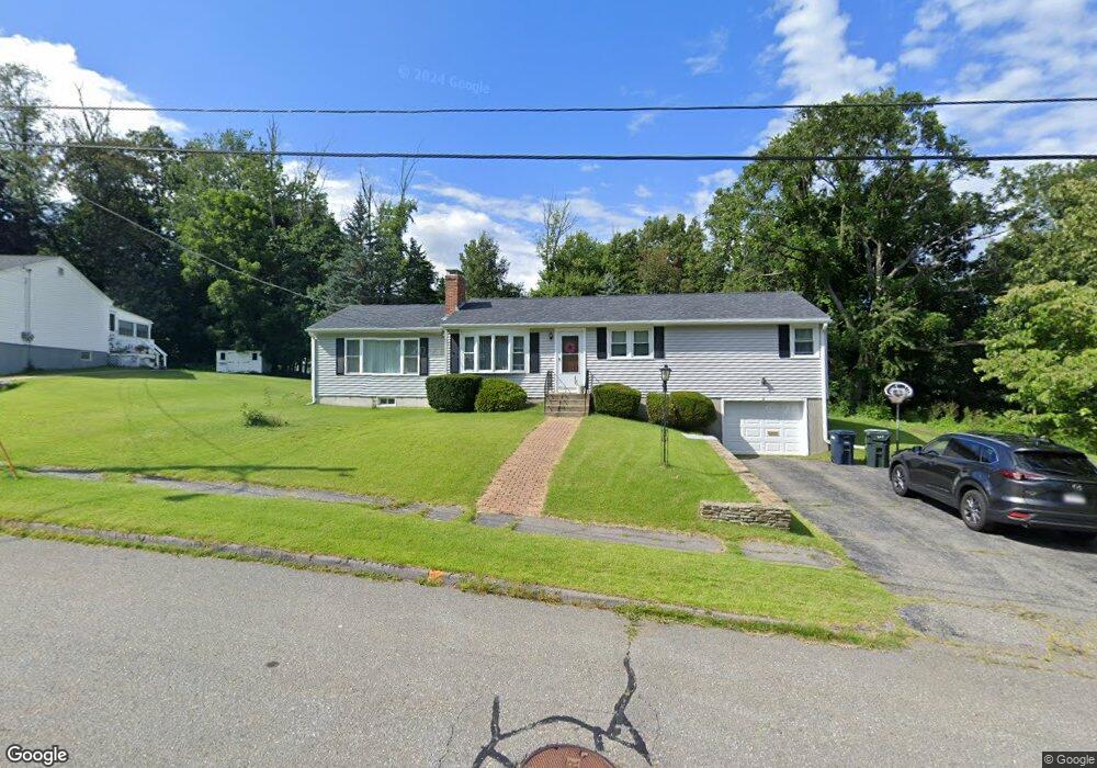
8 Osgood Ave West Boylston, MA 01583
Estimated Value: $323,122 - $417,000
2
Beds
2
Baths
842
Sq Ft
$450/Sq Ft
Est. Value
About This Home
This home is located at 8 Osgood Ave, West Boylston, MA 01583 and is currently estimated at $379,281, approximately $450 per square foot. 8 Osgood Ave is a home located in Worcester County with nearby schools including Major Edwards Elementary School, West Boylston Junior/Senior High School, and Abby Kelley Foster Charter Public School.
Ownership History
Date
Name
Owned For
Owner Type
Purchase Details
Closed on
Aug 28, 2006
Sold by
Downer Jeffrey T and Downer Lucilia M
Bought by
Manion Jennifer M
Current Estimated Value
Home Financials for this Owner
Home Financials are based on the most recent Mortgage that was taken out on this home.
Original Mortgage
$184,000
Outstanding Balance
$110,318
Interest Rate
6.83%
Mortgage Type
Purchase Money Mortgage
Estimated Equity
$268,963
Purchase Details
Closed on
Oct 16, 2003
Sold by
Vogel Ge and Vogel George E
Bought by
Downer Jeffrey T and Mendes Lucilia M
Home Financials for this Owner
Home Financials are based on the most recent Mortgage that was taken out on this home.
Original Mortgage
$146,600
Interest Rate
6.43%
Mortgage Type
Purchase Money Mortgage
Create a Home Valuation Report for This Property
The Home Valuation Report is an in-depth analysis detailing your home's value as well as a comparison with similar homes in the area
Home Values in the Area
Average Home Value in this Area
Purchase History
| Date | Buyer | Sale Price | Title Company |
|---|---|---|---|
| Manion Jennifer M | $230,000 | -- | |
| Downer Jeffrey T | $164,000 | -- |
Source: Public Records
Mortgage History
| Date | Status | Borrower | Loan Amount |
|---|---|---|---|
| Open | Manion Jennifer M | $184,000 | |
| Previous Owner | Downer Jeffrey T | $146,600 |
Source: Public Records
Tax History Compared to Growth
Tax History
| Year | Tax Paid | Tax Assessment Tax Assessment Total Assessment is a certain percentage of the fair market value that is determined by local assessors to be the total taxable value of land and additions on the property. | Land | Improvement |
|---|---|---|---|---|
| 2025 | $3,728 | $268,800 | $49,000 | $219,800 |
| 2024 | $3,535 | $239,200 | $49,000 | $190,200 |
| 2023 | $3,844 | $246,700 | $48,800 | $197,900 |
| 2022 | $3,320 | $187,800 | $48,800 | $139,000 |
| 2021 | $3,668 | $174,000 | $40,100 | $133,900 |
| 2020 | $2,911 | $156,700 | $40,100 | $116,600 |
| 2019 | $2,763 | $146,600 | $40,100 | $106,500 |
| 2018 | $3,350 | $138,400 | $40,100 | $98,300 |
| 2017 | $2,938 | $136,400 | $40,100 | $96,300 |
| 2016 | $2,467 | $133,700 | $37,400 | $96,300 |
| 2015 | $2,340 | $127,600 | $37,000 | $90,600 |
Source: Public Records
Map
Nearby Homes
- 535 Prospect St
- 22 Danielles Way
- 26 Danielles Way
- 31 Danielles Way
- 9 Idalla Ave
- 23 Orono St
- 93 Winfield Rd
- 87 Malden St
- 15 Cumberland St
- 29 Isleboro St
- 33 Isleboro St
- 12 Dixfield Rd
- 29 Glenwood St
- 83 Stoneleigh Rd
- 1110 W Boylston St Unit A
- 21 Wyoming Dr
- 10 Beale St
- 12 Birchbrush Ln
- 1 Juneberry Ln Unit 82
- 740 Burncoat St Unit B