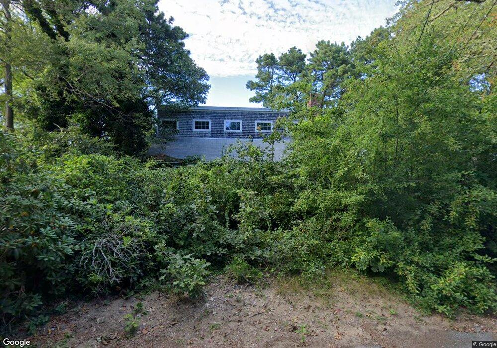
8 Otis Kelly Rd Dennis Port, MA 2639
Dennis Port NeighborhoodEstimated Value: $424,000 - $574,000
3
Beds
2
Baths
1,596
Sq Ft
$318/Sq Ft
Est. Value
About This Home
This home is located at 8 Otis Kelly Rd, Dennis Port, MA 2639 and is currently estimated at $507,889, approximately $318 per square foot. 8 Otis Kelly Rd is a home located in Barnstable County with nearby schools including Dennis-Yarmouth Regional High School and St. Pius X. School.
Ownership History
Date
Name
Owned For
Owner Type
Purchase Details
Closed on
Jun 28, 1996
Sold by
Clarke Evelyn T
Bought by
Davis Cary
Current Estimated Value
Home Financials for this Owner
Home Financials are based on the most recent Mortgage that was taken out on this home.
Original Mortgage
$57,000
Outstanding Balance
$4,051
Interest Rate
8.05%
Mortgage Type
Purchase Money Mortgage
Estimated Equity
$503,838
Create a Home Valuation Report for This Property
The Home Valuation Report is an in-depth analysis detailing your home's value as well as a comparison with similar homes in the area
Home Values in the Area
Average Home Value in this Area
Purchase History
| Date | Buyer | Sale Price | Title Company |
|---|---|---|---|
| Davis Cary | $60,000 | -- |
Source: Public Records
Mortgage History
| Date | Status | Borrower | Loan Amount |
|---|---|---|---|
| Open | Davis Cary | $57,000 |
Source: Public Records
Tax History Compared to Growth
Tax History
| Year | Tax Paid | Tax Assessment Tax Assessment Total Assessment is a certain percentage of the fair market value that is determined by local assessors to be the total taxable value of land and additions on the property. | Land | Improvement |
|---|---|---|---|---|
| 2025 | $1,681 | $388,300 | $128,000 | $260,300 |
| 2024 | $1,713 | $390,300 | $130,400 | $259,900 |
| 2023 | $1,657 | $354,800 | $118,500 | $236,300 |
| 2022 | $1,558 | $278,300 | $118,600 | $159,700 |
| 2021 | $2,996 | $238,600 | $104,700 | $133,900 |
| 2020 | $3,063 | $215,000 | $104,700 | $110,300 |
| 2019 | $2,919 | $216,000 | $102,600 | $113,400 |
| 2018 | $1,332 | $210,100 | $97,700 | $112,400 |
| 2017 | $2,514 | $235,400 | $97,700 | $137,700 |
| 2016 | $1,469 | $224,900 | $108,600 | $116,300 |
| 2015 | $1,439 | $224,900 | $108,600 | $116,300 |
| 2014 | $1,290 | $203,100 | $86,800 | $116,300 |
Source: Public Records
Map
Nearby Homes
- 11 Lane Rd
- 9 Country Ln
- 47 Telegraph Rd Unit 1
- 24 Indian Trail
- 141 Division St
- 78 Upper County Rd Unit A&B
- 78 Upper County Rd
- 141 Division St
- 91 Depot Rd W
- 12 Candlewood Ln Unit 2-9
- 10 Candlewood Ln Unit 2-1
- 45 Route 28
- 9 Bells Neck Rd Unit 10
- 73 Division St
- 40 Willow St
- 268 Main St
- 79 Massachusetts 28
- 20 Aunt Debbys Rd
- 9 Mansion St
- 12 Cross St
- 2 Otis Kelly Rd
- 12 Otis Kelly Rd
- 7 Stafford Cir
- 11 Stafford Cir
- 337 Depot St
- 0 Depot St Unit 6022175
- 0 Depot St Unit 1&2 2018273
- 0 Depot St Unit 2001122
- 0 Depot St Unit 2 2018307
- 0 Depot St Unit 1 2018308
- 0 Depot St
- 17 Stafford Cir
- 18 Otis Kelly Rd
- 340 Depot St
- 4 Knox Rd
- 344 Depot St
- 344 Depot St
- 3 Knox Rd
- 334 Depot St
- 345 Depot St