Estimated Value: $1,419,000 - $1,494,000
4
Beds
4
Baths
4,079
Sq Ft
$355/Sq Ft
Est. Value
About This Home
This home is located at 8 Palmer Ln, Acton, MA 01720 and is currently estimated at $1,448,020, approximately $354 per square foot. 8 Palmer Ln is a home located in Middlesex County with nearby schools including Acton-Boxborough Regional High School and Oak Meadow Montessori School.
Ownership History
Date
Name
Owned For
Owner Type
Purchase Details
Closed on
Apr 3, 2024
Sold by
Gore Jeffrey K and Bauer-Gore Valerie L
Bought by
Gore Ft and Gore
Current Estimated Value
Purchase Details
Closed on
Jun 18, 2001
Sold by
Distinctive Acton Home
Bought by
Gore Jeffrey K and Bauergore Valerie L
Home Financials for this Owner
Home Financials are based on the most recent Mortgage that was taken out on this home.
Original Mortgage
$650,000
Interest Rate
7.15%
Mortgage Type
Purchase Money Mortgage
Create a Home Valuation Report for This Property
The Home Valuation Report is an in-depth analysis detailing your home's value as well as a comparison with similar homes in the area
Home Values in the Area
Average Home Value in this Area
Purchase History
| Date | Buyer | Sale Price | Title Company |
|---|---|---|---|
| Gore Ft | -- | None Available | |
| Gore Ft | -- | None Available | |
| Gore Jeffrey K | $835,000 | -- |
Source: Public Records
Mortgage History
| Date | Status | Borrower | Loan Amount |
|---|---|---|---|
| Previous Owner | Gore Jeffrey K | $417,000 | |
| Previous Owner | Gore Jeffrey K | $465,750 | |
| Previous Owner | Gore Jeffrey K | $650,000 |
Source: Public Records
Tax History Compared to Growth
Tax History
| Year | Tax Paid | Tax Assessment Tax Assessment Total Assessment is a certain percentage of the fair market value that is determined by local assessors to be the total taxable value of land and additions on the property. | Land | Improvement |
|---|---|---|---|---|
| 2025 | $23,955 | $1,396,800 | $0 | $1,396,800 |
| 2024 | $20,861 | $1,251,400 | $0 | $1,251,400 |
| 2023 | $21,485 | $1,223,500 | $0 | $1,223,500 |
| 2022 | $20,922 | $1,075,700 | $0 | $1,075,700 |
| 2021 | $19,174 | $947,800 | $0 | $947,800 |
| 2020 | $18,926 | $983,700 | $0 | $983,700 |
| 2019 | $19,054 | $983,700 | $0 | $983,700 |
| 2018 | $19,651 | $1,014,000 | $0 | $1,014,000 |
| 2017 | $19,327 | $1,014,000 | $0 | $1,014,000 |
| 2016 | $18,311 | $952,200 | $0 | $952,200 |
| 2015 | $16,553 | $868,900 | $0 | $868,900 |
| 2014 | $16,441 | $845,300 | $0 | $845,300 |
Source: Public Records
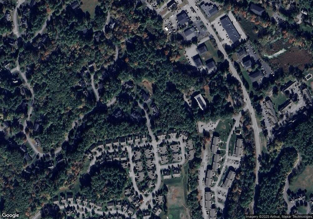
Map
Nearby Homes
- 420 Great Rd Unit B3
- 390 Great Rd Unit A2
- 428 Great Rd Unit 10
- 386 Great Rd Unit A8
- 407 Great Rd Unit 9
- 484 Great Rd
- 484 Great Rd
- 159 Skyline Dr Unit 159
- 16 Wampus Ave Unit 32
- 1 Quarry Rd
- 9 Breezy Point Rd
- 405 Great Elm Way
- 484 Great Road -3
- 484 Great Road -4
- 484 Great Road -6
- 237 Brown Bear Crossing Unit 237
- 601 Old Stone Brook
- 17 Northbriar Rd
- 517 Tumbling Hawk
- 140 Butternut Hollow Unit 140
- 6 Palmer Ln
- 2 Palmer Ln
- 5 Palmer Ln
- 25 Greenside Ln Unit 60
- 27 Greenside Ln Unit 27
- 4 Palmer Ln
- 4 Palmer Ln Unit 4
- 31 Greenside Ln Unit 31
- 3 Palmer Ln
- 19 Greenside Ln Unit 63
- 33 Greenside Ln Unit 34
- 17 Greenside Ln Unit 17
- 29 Quail Ridge Dr Unit 58
- 27 Quail Ridge Dr Unit 57
- 29 Quail Ridge Dr
- 27 Quail Ridge Dr
- 16 Greenside Ln Unit 55
- 18 Greenside Ln Unit 56
- 420 Great Rd Unit 10C
- 420 Great Rd Unit B6