8 Point Rd Gloucester, MA 01930
West Gloucester NeighborhoodEstimated Value: $2,205,000 - $4,529,000
5
Beds
3
Baths
2,082
Sq Ft
$1,828/Sq Ft
Est. Value
About This Home
This home is located at 8 Point Rd, Gloucester, MA 01930 and is currently estimated at $3,806,165, approximately $1,828 per square foot. 8 Point Rd is a home located in Essex County with nearby schools including West Parish, Ralph B O'maley Middle School, and Gloucester High School.
Ownership History
Date
Name
Owned For
Owner Type
Purchase Details
Closed on
Jun 26, 2000
Sold by
Newman Elaine J
Bought by
Friedfertig Barbara S
Current Estimated Value
Home Financials for this Owner
Home Financials are based on the most recent Mortgage that was taken out on this home.
Original Mortgage
$675,000
Interest Rate
8.48%
Mortgage Type
Purchase Money Mortgage
Purchase Details
Closed on
Mar 26, 1996
Sold by
Lonakilty Rt
Bought by
Seltzer Marlene B and Hochman Joanna M
Purchase Details
Closed on
Jan 11, 1996
Sold by
Cluett Kathryn Est
Bought by
Lonakilty Rt
Create a Home Valuation Report for This Property
The Home Valuation Report is an in-depth analysis detailing your home's value as well as a comparison with similar homes in the area
Home Values in the Area
Average Home Value in this Area
Purchase History
| Date | Buyer | Sale Price | Title Company |
|---|---|---|---|
| Friedfertig Barbara S | $975,000 | -- | |
| Seltzer Marlene B | $400,000 | -- | |
| Lonakilty Rt | $325,000 | -- |
Source: Public Records
Mortgage History
| Date | Status | Borrower | Loan Amount |
|---|---|---|---|
| Open | Lonakilty Rt | $985,000 | |
| Closed | Lonakilty Rt | $1,000,000 | |
| Closed | Lonakilty Rt | $675,000 |
Source: Public Records
Tax History
| Year | Tax Paid | Tax Assessment Tax Assessment Total Assessment is a certain percentage of the fair market value that is determined by local assessors to be the total taxable value of land and additions on the property. | Land | Improvement |
|---|---|---|---|---|
| 2025 | $36,959 | $3,802,400 | $2,442,300 | $1,360,100 |
| 2024 | $33,058 | $3,397,500 | $2,326,100 | $1,071,400 |
| 2023 | $30,508 | $2,880,800 | $1,983,600 | $897,200 |
| 2022 | $28,546 | $2,433,600 | $1,651,300 | $782,300 |
| 2021 | $27,525 | $2,212,600 | $1,500,700 | $711,900 |
| 2020 | $27,279 | $2,212,400 | $1,500,700 | $711,700 |
| 2019 | $27,176 | $2,141,500 | $1,430,900 | $710,600 |
| 2018 | $26,073 | $2,016,500 | $1,396,000 | $620,500 |
| 2017 | $25,724 | $1,950,300 | $1,329,800 | $620,500 |
| 2016 | $21,072 | $1,548,300 | $1,040,300 | $508,000 |
| 2015 | $20,348 | $1,490,700 | $1,016,600 | $474,100 |
Source: Public Records
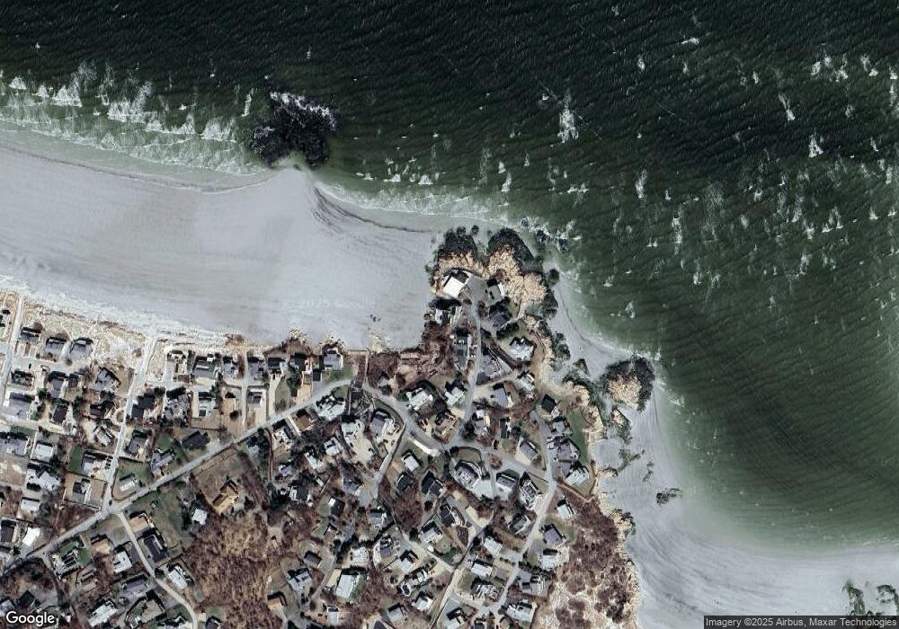
Map
Nearby Homes
- 226 Atlantic St
- 178 Atlantic St
- 167 Atlantic St
- 672 Washington St
- 2 Breezy Point Rd
- 13 Honeysuckle Rd
- 7 Colburn St
- 3 Deacon Farm Ln
- 31 Echo Ave
- 1030 Washington St
- 43 High St Unit B
- 10 Emerald St
- 7 Leaman Dr
- 13 Mystic Ave
- 8 Mystic Ave
- 5 Samoset Rd Unit B
- 6 Monroe Ct
- 98 Maplewood Ave
- 145 Essex Ave Unit 402
- 24 Cobblestone Ln Unit 603
Your Personal Tour Guide
Ask me questions while you tour the home.