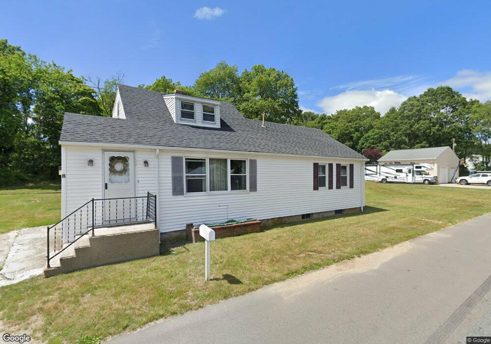
8 Rock St Westport, MA 02790
North Westport NeighborhoodEstimated Value: $405,447 - $552,000
2
Beds
--
Bath
1,738
Sq Ft
$266/Sq Ft
Est. Value
About This Home
This home is located at 8 Rock St, Westport, MA 02790 and is currently estimated at $461,862, approximately $265 per square foot. 8 Rock St is a home located in Bristol County with nearby schools including Alice A. Macomber Primary School, Westport Elementary School, and Westport Middle-High School.
Ownership History
Date
Name
Owned For
Owner Type
Purchase Details
Closed on
Nov 20, 2007
Sold by
Gaskell Barbara A and Horton Barbara A
Bought by
Gaskell Barbara
Current Estimated Value
Home Financials for this Owner
Home Financials are based on the most recent Mortgage that was taken out on this home.
Original Mortgage
$155,000
Interest Rate
6.41%
Mortgage Type
Purchase Money Mortgage
Create a Home Valuation Report for This Property
The Home Valuation Report is an in-depth analysis detailing your home's value as well as a comparison with similar homes in the area
Home Values in the Area
Average Home Value in this Area
Purchase History
| Date | Buyer | Sale Price | Title Company |
|---|---|---|---|
| Gaskell Barbara | -- | -- |
Source: Public Records
Mortgage History
| Date | Status | Borrower | Loan Amount |
|---|---|---|---|
| Open | Gaskell Barbara | $185,000 | |
| Closed | Gaskell Barbara | $155,000 | |
| Previous Owner | Gaskell Barbara | $81,750 |
Source: Public Records
Tax History Compared to Growth
Tax History
| Year | Tax Paid | Tax Assessment Tax Assessment Total Assessment is a certain percentage of the fair market value that is determined by local assessors to be the total taxable value of land and additions on the property. | Land | Improvement |
|---|---|---|---|---|
| 2025 | $2,237 | $300,300 | $147,700 | $152,600 |
| 2024 | $2,221 | $287,300 | $136,900 | $150,400 |
| 2023 | $2,167 | $265,600 | $124,200 | $141,400 |
| 2022 | $1,998 | $242,500 | $117,900 | $124,600 |
| 2021 | $1,998 | $231,800 | $107,200 | $124,600 |
| 2020 | $1,872 | $222,100 | $97,500 | $124,600 |
| 2019 | $1,770 | $214,000 | $97,500 | $116,500 |
| 2018 | $1,597 | $195,500 | $85,100 | $110,400 |
| 2017 | $1,581 | $198,400 | $90,900 | $107,500 |
| 2016 | $1,532 | $193,700 | $86,200 | $107,500 |
| 2015 | $1,498 | $188,900 | $99,100 | $89,800 |
Source: Public Records
Map
Nearby Homes
- 20 Faulkner St
- 116 Gifford Rd
- 0 Van Buren St
- 9 Kyle Jacob Rd
- 15 S Breault St
- 16 S Berryman St
- 3 Diane Way
- 100 D Dr
- 565 Highland Ave
- 1276 Old Fall River Rd
- 9 Register Ave
- 92 Benoit St
- 19 Charles Joseph Dr
- 2 Donna Marie Dr
- 33 William St
- 27 Dias Ave
- 6 Beaulieu St
- 25 Beaulieu St
- 771 Sanford Rd
- 96 Forge Rd