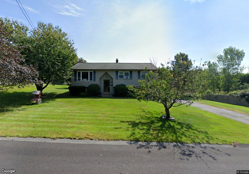
8 Rollingwood Dr Oxford, MA 01540
Estimated Value: $404,892 - $452,000
3
Beds
1
Bath
1,093
Sq Ft
$389/Sq Ft
Est. Value
About This Home
This home is located at 8 Rollingwood Dr, Oxford, MA 01540 and is currently estimated at $425,223, approximately $389 per square foot. 8 Rollingwood Dr is a home located in Worcester County with nearby schools including Oxford High School, Alfred M Chaffee, and Clara Barton Elementary School.
Ownership History
Date
Name
Owned For
Owner Type
Purchase Details
Closed on
Nov 12, 1992
Sold by
Commercial Credit Co
Bought by
Oday Dennis F and Oday Sandra
Current Estimated Value
Create a Home Valuation Report for This Property
The Home Valuation Report is an in-depth analysis detailing your home's value as well as a comparison with similar homes in the area
Home Values in the Area
Average Home Value in this Area
Purchase History
| Date | Buyer | Sale Price | Title Company |
|---|---|---|---|
| Oday Dennis F | $103,000 | -- |
Source: Public Records
Mortgage History
| Date | Status | Borrower | Loan Amount |
|---|---|---|---|
| Open | Oday Dennis F | $30,000 | |
| Open | Oday Dennis F | $116,000 |
Source: Public Records
Tax History Compared to Growth
Tax History
| Year | Tax Paid | Tax Assessment Tax Assessment Total Assessment is a certain percentage of the fair market value that is determined by local assessors to be the total taxable value of land and additions on the property. | Land | Improvement |
|---|---|---|---|---|
| 2025 | $44 | $345,900 | $97,600 | $248,300 |
| 2024 | $4,136 | $306,800 | $90,900 | $215,900 |
| 2023 | $4,130 | $302,800 | $86,900 | $215,900 |
| 2022 | $3,890 | $240,700 | $80,700 | $160,000 |
| 2021 | $3,780 | $228,700 | $76,500 | $152,200 |
| 2020 | $3,644 | $218,700 | $76,500 | $142,200 |
| 2019 | $3,578 | $210,100 | $76,500 | $133,600 |
| 2018 | $3,416 | $197,800 | $76,500 | $121,300 |
| 2017 | $3,355 | $199,100 | $73,300 | $125,800 |
| 2016 | $3,371 | $199,100 | $73,300 | $125,800 |
| 2015 | $3,144 | $199,100 | $73,300 | $125,800 |
| 2014 | $3,048 | $203,200 | $71,400 | $131,800 |
Source: Public Records
Map
Nearby Homes
- 0 Dana Rd
- 0 Federal Hill Rd Unit 73422286
- 7 Millbury Blvd
- 5 Carlton Ct
- 397 Main St
- 13 Plantation Rd Unit 13
- 12 New St
- 11 Lovett Rd
- 18 Sutton Ave
- 11 Sutton Ave
- 15 Lind St
- 37 Old Worcester Rd
- 6 Rawson Ave
- L0T 11 History Dr
- 190 Federal Hill Rd
- L0T 3 History Dr
- L0T 12 History Dr
- 35 &33 Sutton Ave
- 9 Howarth Rd
- 1 Howarth Rd
- 10 Rollingwood Dr
- 7 Rollingwood Dr
- 12 Rollingwood Dr
- 4 & 6 Rollingwood Dr
- 19 Dana Dr
- 9 Rollingwood Dr
- 4 Rollingwood Dr
- 3 Rollingwood Dr
- 9 Hillcrest Dr
- 7 Hillcrest Dr
- 2 Rollingwood Dr
- 11 Rollingwood Dr
- 5 Hillcrest Dr
- 16 Heritage Dr
- 1 Rollingwood Dr
- 12 Hillcrest Dr
- 14 Heritage Dr
- 20 Heritage Dr
- 19 Heritage Dr
- 17 Heritage Dr