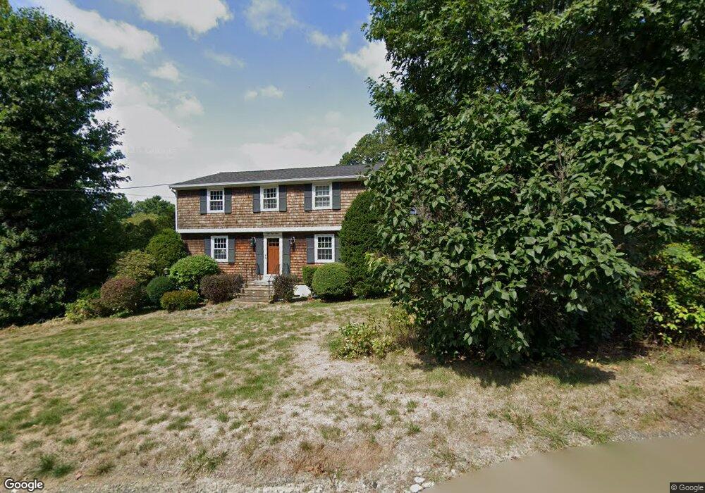
8 Ryan Rd Gloucester, MA 01930
Magnolia NeighborhoodEstimated Value: $791,000 - $886,000
3
Beds
3
Baths
2,135
Sq Ft
$383/Sq Ft
Est. Value
About This Home
This home is located at 8 Ryan Rd, Gloucester, MA 01930 and is currently estimated at $818,177, approximately $383 per square foot. 8 Ryan Rd is a home located in Essex County with nearby schools including West Parish, Ralph B O'maley Middle School, and Gloucester High School.
Ownership History
Date
Name
Owned For
Owner Type
Purchase Details
Closed on
May 24, 2017
Sold by
Ellen T Downey Ret
Bought by
Billard David and Cook Clifford P
Current Estimated Value
Home Financials for this Owner
Home Financials are based on the most recent Mortgage that was taken out on this home.
Original Mortgage
$215,000
Outstanding Balance
$111,831
Interest Rate
4.08%
Mortgage Type
New Conventional
Estimated Equity
$706,346
Create a Home Valuation Report for This Property
The Home Valuation Report is an in-depth analysis detailing your home's value as well as a comparison with similar homes in the area
Home Values in the Area
Average Home Value in this Area
Purchase History
| Date | Buyer | Sale Price | Title Company |
|---|---|---|---|
| Billard David | $470,000 | -- |
Source: Public Records
Mortgage History
| Date | Status | Borrower | Loan Amount |
|---|---|---|---|
| Open | Billard David | $215,000 |
Source: Public Records
Tax History
| Year | Tax Paid | Tax Assessment Tax Assessment Total Assessment is a certain percentage of the fair market value that is determined by local assessors to be the total taxable value of land and additions on the property. | Land | Improvement |
|---|---|---|---|---|
| 2025 | $6,287 | $646,800 | $184,800 | $462,000 |
| 2024 | $6,207 | $637,900 | $175,900 | $462,000 |
| 2023 | $5,943 | $561,200 | $157,100 | $404,100 |
| 2022 | $5,809 | $495,200 | $136,600 | $358,600 |
| 2021 | $5,610 | $451,000 | $124,200 | $326,800 |
| 2020 | $5,558 | $450,800 | $124,200 | $326,600 |
| 2019 | $5,301 | $417,700 | $124,200 | $293,500 |
| 2018 | $5,032 | $389,200 | $124,200 | $265,000 |
| 2017 | $4,875 | $369,600 | $118,300 | $251,300 |
| 2016 | $4,751 | $349,100 | $123,400 | $225,700 |
| 2015 | $4,529 | $331,800 | $123,400 | $208,400 |
Source: Public Records
Map
Nearby Homes
- 17 Butler Ave
- 2 Ocean Ave Unit 3B
- 2 Ocean Ave Unit 3C
- 450 Summer St
- 468 Summer St
- 335 Summer St
- 13 Hickory Hill Rd
- 239 Summer St
- 368 Essex Ave
- 5 Marshfield St
- 25 Forest St
- 5 Samoset Rd Unit B
- 55 Mansfield St Unit A
- 55 Mansfield St Unit B
- 55 Mansfield St
- 84 Centennial Ave
- 15 Harvard St
- 20 Beacon St Unit 2
- 20 Beacon St Unit 1
- 587 Essex Ave