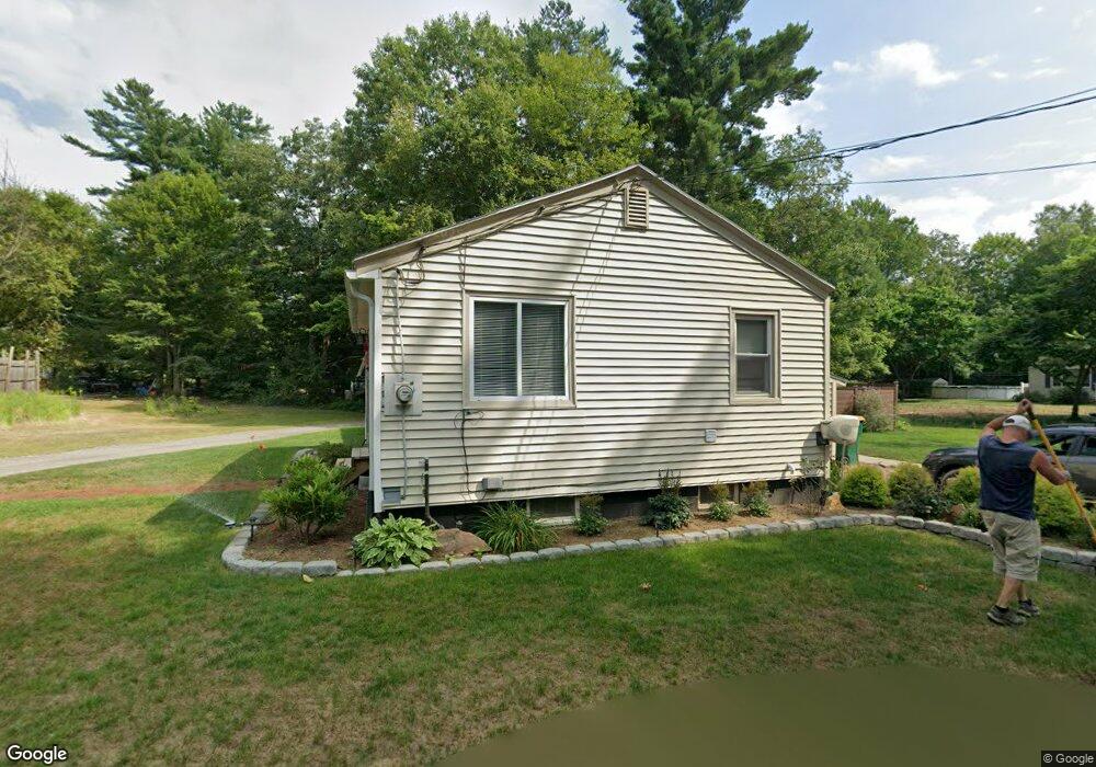
8 Sand Rd Baldwinville, MA 01436
Estimated Value: $301,000 - $346,000
2
Beds
1
Bath
1,575
Sq Ft
$201/Sq Ft
Est. Value
About This Home
This home is located at 8 Sand Rd, Baldwinville, MA 01436 and is currently estimated at $316,318, approximately $200 per square foot. 8 Sand Rd is a home located in Worcester County with nearby schools including Narragansett Regional High School and Holy Family Academy.
Ownership History
Date
Name
Owned For
Owner Type
Purchase Details
Closed on
Sep 25, 2009
Sold by
Household Finance Corp
Bought by
Zalneraitis Barbara A
Current Estimated Value
Purchase Details
Closed on
Jul 28, 2009
Sold by
Mogielnicki Jacek J and Mogielnicki Karen G
Bought by
Household Finance Corp
Purchase Details
Closed on
May 21, 1997
Sold by
Trainer Dorothy L
Bought by
Leray Melissa
Home Financials for this Owner
Home Financials are based on the most recent Mortgage that was taken out on this home.
Original Mortgage
$20,000
Interest Rate
8.08%
Mortgage Type
Purchase Money Mortgage
Create a Home Valuation Report for This Property
The Home Valuation Report is an in-depth analysis detailing your home's value as well as a comparison with similar homes in the area
Home Values in the Area
Average Home Value in this Area
Purchase History
| Date | Buyer | Sale Price | Title Company |
|---|---|---|---|
| Zalneraitis Barbara A | $94,500 | -- | |
| Household Finance Corp | $160,983 | -- | |
| Leray Melissa | $25,000 | -- |
Source: Public Records
Mortgage History
| Date | Status | Borrower | Loan Amount |
|---|---|---|---|
| Previous Owner | Leray Melissa | $45,000 | |
| Previous Owner | Leray Melissa | $20,000 |
Source: Public Records
Tax History
| Year | Tax Paid | Tax Assessment Tax Assessment Total Assessment is a certain percentage of the fair market value that is determined by local assessors to be the total taxable value of land and additions on the property. | Land | Improvement |
|---|---|---|---|---|
| 2025 | $2,717 | $224,200 | $41,100 | $183,100 |
| 2024 | $2,470 | $196,000 | $35,800 | $160,200 |
| 2023 | $2,532 | $196,000 | $35,800 | $160,200 |
| 2022 | $2,147 | $140,900 | $25,600 | $115,300 |
| 2021 | $2,236 | $138,800 | $25,600 | $113,200 |
| 2020 | $2,284 | $135,700 | $25,600 | $110,100 |
| 2018 | $2,154 | $128,800 | $23,300 | $105,500 |
| 2017 | $1,917 | $118,900 | $23,300 | $95,600 |
| 2016 | $1,560 | $94,700 | $23,300 | $71,400 |
| 2015 | $1,521 | $91,400 | $24,500 | $66,900 |
| 2014 | $1,484 | $91,400 | $24,500 | $66,900 |
Source: Public Records
Map
Nearby Homes
- 354 State Rd
- 34 Albert Dr
- 28 Holly Dr
- 643 West St
- 531 Clark St
- 25 Bear Hill Rd
- 203 Brooks Rd
- 84 Century Way Unit 84
- 39 Highland Ave
- 25 Century Way Unit 25
- 10 Russell Farm Rd
- 35 Princeton St
- 9 Lily Ln
- 3 Lots on Mill St
- 3 Lots Mill St
- 12 Lots on Mill St
- 12 Lots for Sale On Mill St
- Lot 67 Mill St
- Lots 284-5 Mill St
- Lot 62 Mill St
Your Personal Tour Guide
Ask me questions while you tour the home.