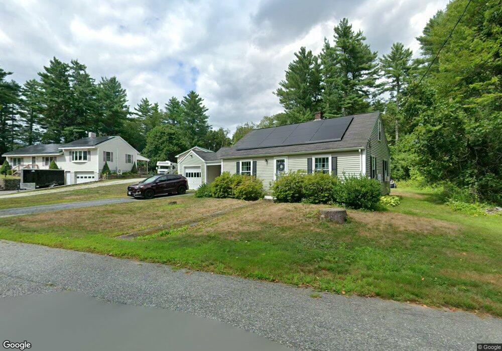
8 Scott Rd West Townsend, MA 01474
Estimated Value: $402,809 - $489,000
3
Beds
1
Bath
1,273
Sq Ft
$344/Sq Ft
Est. Value
About This Home
This home is located at 8 Scott Rd, West Townsend, MA 01474 and is currently estimated at $437,702, approximately $343 per square foot. 8 Scott Rd is a home located in Middlesex County with nearby schools including North Middlesex Regional High School.
Ownership History
Date
Name
Owned For
Owner Type
Purchase Details
Closed on
Sep 28, 2000
Sold by
Fhlmc
Bought by
Robbins Daniel J and Robbins Roberta J
Current Estimated Value
Purchase Details
Closed on
Sep 11, 2000
Sold by
Carpentino Bonnie L and Carpentino John
Bought by
Fhlmc
Purchase Details
Closed on
Dec 26, 1995
Sold by
Dutting Deborah A
Bought by
Carpentino Bonnie L and Carpentino John
Purchase Details
Closed on
May 23, 1994
Sold by
Martin John A and Martin Jacqueline
Bought by
Dutting Deborah A
Purchase Details
Closed on
Aug 30, 1993
Sold by
Peaslee Herbert C and Peaslee Rita M
Bought by
Martin John A and Martin Jacqueline M
Create a Home Valuation Report for This Property
The Home Valuation Report is an in-depth analysis detailing your home's value as well as a comparison with similar homes in the area
Home Values in the Area
Average Home Value in this Area
Purchase History
| Date | Buyer | Sale Price | Title Company |
|---|---|---|---|
| Robbins Daniel J | $147,000 | -- | |
| Fhlmc | $108,737 | -- | |
| Carpentino Bonnie L | $104,000 | -- | |
| Dutting Deborah A | $100,000 | -- | |
| Martin John A | $95,000 | -- |
Source: Public Records
Mortgage History
| Date | Status | Borrower | Loan Amount |
|---|---|---|---|
| Open | Martin John A | $198,158 | |
| Closed | Martin John A | $145,000 |
Source: Public Records
Tax History Compared to Growth
Tax History
| Year | Tax Paid | Tax Assessment Tax Assessment Total Assessment is a certain percentage of the fair market value that is determined by local assessors to be the total taxable value of land and additions on the property. | Land | Improvement |
|---|---|---|---|---|
| 2025 | $4,912 | $338,300 | $92,100 | $246,200 |
| 2024 | $4,784 | $332,000 | $92,100 | $239,900 |
| 2023 | $4,799 | $314,500 | $83,700 | $230,800 |
| 2022 | $4,704 | $267,100 | $72,800 | $194,300 |
| 2021 | $4,524 | $246,800 | $72,000 | $174,800 |
| 2020 | $4,365 | $223,600 | $64,100 | $159,500 |
| 2019 | $4,936 | $216,100 | $64,100 | $152,000 |
| 2018 | $4,074 | $201,100 | $64,100 | $137,000 |
| 2017 | $3,875 | $197,000 | $68,200 | $128,800 |
| 2016 | $3,713 | $187,500 | $68,200 | $119,300 |
| 2015 | $3,556 | $186,100 | $71,200 | $114,900 |
| 2014 | $3,307 | $169,000 | $64,100 | $104,900 |
Source: Public Records
Map
Nearby Homes
- 11 Fox Run
- 18 Bridle Path
- 114 Blood Rd
- 86 W Elm Lunenburg Rd Blood Rd
- 91 Lunenburg Rd
- 20 Bayberry Hill Rd
- 1 Depot Street Extension Unit 2
- 1 Depot Street Extension Unit 5
- 1 Depot Street Extension Unit 3
- 1 Depot Street Extension Unit 4
- 10 Stearns Ave
- 53 W Meadow Rd
- 75 Highland St
- 30 Bailey Rd
- 0 Brookline St
- 91 Highland St
- 64 Meadow Rd
- 1235 Townsend Rd
- 2 Tamarack Ln
- 144 Main St