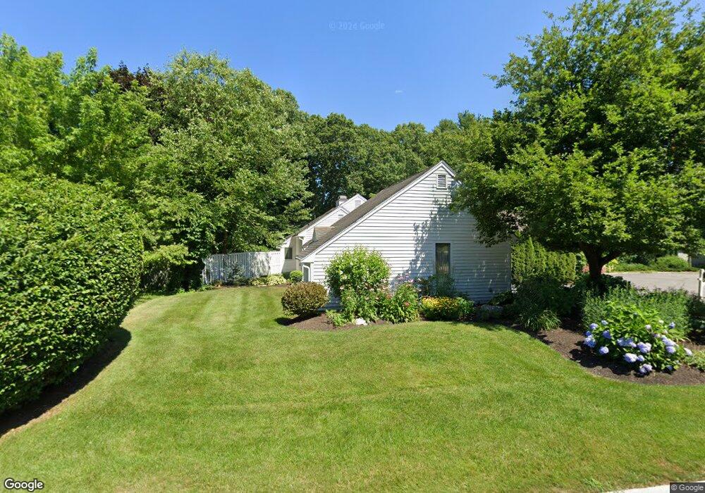
8 Shady Ln Framingham, MA 01701
Estimated Value: $687,000 - $976,000
3
Beds
3
Baths
1,524
Sq Ft
$516/Sq Ft
Est. Value
About This Home
This home is located at 8 Shady Ln, Framingham, MA 01701 and is currently estimated at $786,295, approximately $515 per square foot. 8 Shady Ln is a home located in Middlesex County with nearby schools including Framingham High School, Saint Bridget School, and Summit Montessori School.
Ownership History
Date
Name
Owned For
Owner Type
Purchase Details
Closed on
Dec 9, 2024
Sold by
Zampini Thomas and Zampini Janet M
Bought by
Zampini Ft and Zampini
Current Estimated Value
Purchase Details
Closed on
May 26, 1994
Sold by
Stillman Robert A and Stillman Nancy H
Bought by
Zampini Thomas and Zampini Janet M
Home Financials for this Owner
Home Financials are based on the most recent Mortgage that was taken out on this home.
Original Mortgage
$190,000
Interest Rate
8.22%
Mortgage Type
Purchase Money Mortgage
Purchase Details
Closed on
Oct 1, 1992
Sold by
Est Hargraves Eliz E
Bought by
Stillman Robert A and Stillman Nancy H
Create a Home Valuation Report for This Property
The Home Valuation Report is an in-depth analysis detailing your home's value as well as a comparison with similar homes in the area
Home Values in the Area
Average Home Value in this Area
Purchase History
| Date | Buyer | Sale Price | Title Company |
|---|---|---|---|
| Zampini Ft | -- | None Available | |
| Zampini Ft | -- | None Available | |
| Zampini Ft | -- | None Available | |
| Zampini Thomas | $215,000 | -- | |
| Stillman Robert A | $80,000 | -- | |
| Zampini Thomas | $215,000 | -- | |
| Stillman Robert A | $80,000 | -- |
Source: Public Records
Mortgage History
| Date | Status | Borrower | Loan Amount |
|---|---|---|---|
| Previous Owner | Stillman Robert A | $259,000 | |
| Previous Owner | Stillman Robert A | $180,000 | |
| Previous Owner | Stillman Robert A | $190,000 |
Source: Public Records
Tax History
| Year | Tax Paid | Tax Assessment Tax Assessment Total Assessment is a certain percentage of the fair market value that is determined by local assessors to be the total taxable value of land and additions on the property. | Land | Improvement |
|---|---|---|---|---|
| 2025 | $9,750 | $816,600 | $279,100 | $537,500 |
| 2024 | $9,422 | $756,200 | $248,700 | $507,500 |
| 2023 | $9,053 | $691,600 | $221,900 | $469,700 |
| 2022 | $8,658 | $630,100 | $201,700 | $428,400 |
| 2021 | $8,451 | $601,500 | $193,900 | $407,600 |
| 2020 | $8,578 | $572,600 | $176,400 | $396,200 |
| 2019 | $8,491 | $552,100 | $176,400 | $375,700 |
| 2018 | $8,477 | $519,400 | $172,900 | $346,500 |
| 2017 | $8,303 | $496,900 | $167,900 | $329,000 |
| 2016 | $8,115 | $466,900 | $169,400 | $297,500 |
| 2015 | $7,784 | $436,800 | $169,600 | $267,200 |
Source: Public Records
Map
Nearby Homes
- 2 Grove St
- 1186 Worcester Rd Unit 610
- 139 Salem End Rd
- 575 Union Ave Unit 1
- 51 Woodland Dr
- 1321 Worcester Rd Unit 603
- 1321 Worcester Rd Unit 610
- 484 Edgell Rd
- 11 Bellwood Way
- 33 Stevens Rd
- 401 Belknap Rd
- 81 Edgewater Dr
- 5 Lavelle Ln
- 22 Gryzboska Cir
- 50 Kittredge Rd
- 15 Woodmere Rd
- 32 Lyman Rd
- 1500 Worcester Rd Unit 221
- 1500 Worcester Rd Unit 118
- 1500 Worcester Rd Unit 426
Your Personal Tour Guide
Ask me questions while you tour the home.