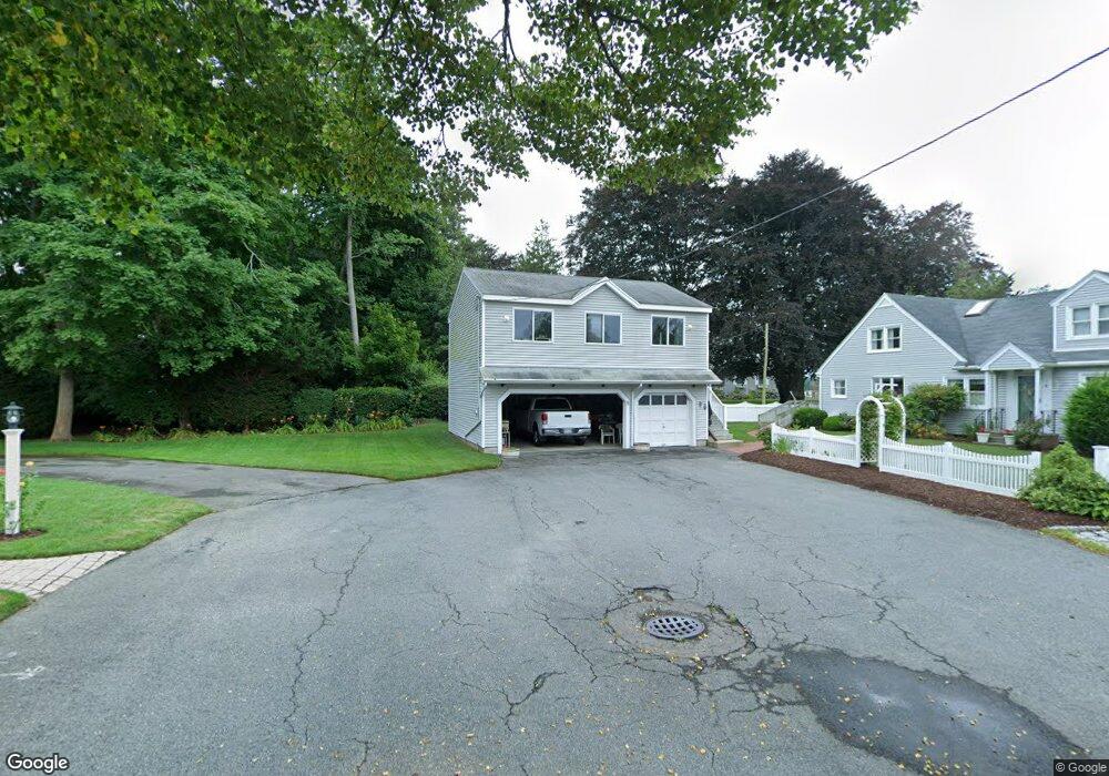
8 Sherman Ln Pocasset, MA 2559
Pocasset NeighborhoodEstimated Value: $928,000 - $1,188,468
4
Beds
2
Baths
2,201
Sq Ft
$491/Sq Ft
Est. Value
About This Home
This home is located at 8 Sherman Ln, Pocasset, MA 2559 and is currently estimated at $1,080,867, approximately $491 per square foot. 8 Sherman Ln is a home located in Barnstable County with nearby schools including Bourne High School and Cadence Academy Preschool - Bourne.
Ownership History
Date
Name
Owned For
Owner Type
Purchase Details
Closed on
Oct 24, 2012
Sold by
Salley Claire A and Salley Irving C
Bought by
8 Sherman Lane Rt and Salley
Current Estimated Value
Purchase Details
Closed on
Aug 31, 1999
Sold by
Geller Marvin N
Bought by
Int Oceanview and Simpson Joan T
Home Financials for this Owner
Home Financials are based on the most recent Mortgage that was taken out on this home.
Original Mortgage
$220,000
Interest Rate
7.53%
Mortgage Type
Purchase Money Mortgage
Purchase Details
Closed on
Jan 13, 1995
Sold by
Justin Guy Rt and Forziati Carl A
Bought by
Salley Claire A
Create a Home Valuation Report for This Property
The Home Valuation Report is an in-depth analysis detailing your home's value as well as a comparison with similar homes in the area
Home Values in the Area
Average Home Value in this Area
Purchase History
| Date | Buyer | Sale Price | Title Company |
|---|---|---|---|
| 8 Sherman Lane Rt | -- | -- | |
| 8 Sherman Lane Rt | -- | -- | |
| Salley Claire A | -- | -- | |
| Int Oceanview | $150,000 | -- | |
| Oceanview Int | $150,000 | -- | |
| Salley Claire A | $280,000 | -- | |
| Salley Claire A | $280,000 | -- |
Source: Public Records
Mortgage History
| Date | Status | Borrower | Loan Amount |
|---|---|---|---|
| Previous Owner | Salley Claire A | $220,000 |
Source: Public Records
Tax History Compared to Growth
Tax History
| Year | Tax Paid | Tax Assessment Tax Assessment Total Assessment is a certain percentage of the fair market value that is determined by local assessors to be the total taxable value of land and additions on the property. | Land | Improvement |
|---|---|---|---|---|
| 2025 | $9,144 | $1,170,800 | $705,400 | $465,400 |
| 2024 | $8,942 | $1,115,000 | $671,700 | $443,300 |
| 2023 | $8,716 | $989,300 | $594,500 | $394,800 |
| 2022 | $8,513 | $843,700 | $526,100 | $317,600 |
| 2021 | $7,783 | $722,700 | $430,900 | $291,800 |
| 2020 | $7,481 | $696,600 | $426,800 | $269,800 |
| 2019 | $7,180 | $683,200 | $426,800 | $256,400 |
| 2018 | $7,053 | $669,200 | $406,600 | $262,600 |
| 2017 | $6,883 | $668,300 | $402,700 | $265,600 |
| 2016 | $6,739 | $663,300 | $402,700 | $260,600 |
| 2015 | $6,679 | $663,300 | $402,700 | $260,600 |
Source: Public Records
Map
Nearby Homes
- 34 Kenwood Rd
- 45 Kenwood Rd
- 171 Bellavista Dr
- 70 Wings Neck Rd
- 24 Richmond Rd
- 89 Harbor Dr
- 14 Navajo Rd
- 254 Barlows Landing Rd
- 22 Nairn Rd
- 940 County Rd
- 709 County Rd
- 39 Bennets Neck Dr
- 174 Barlows Landing Rd
- 48 Red Brook Harbor Rd
- 15 1st St
- 3 Red Brook Pond Dr
- 7 4th Ave
- 1094 County Rd
- 940 County Rd
- 566 Shore Rd
- 6 Sherman Ln
- 6 Sherman Ln
- 7 Sherman Ln
- 5 Sherman Ln
- 5 Sherman Ln
- 449 Barlows Landing Rd
- 449 Barlows Landing Rd Unit 1
- 451 Barlows Landing Rd
- 12 Salt Marsh Ln
- 0 Barlows Landing Unit C 2004870
- 0 Barlows Landing Unit 41C
- 3 Sherman Ln
- 10 Salt Marsh Ln
- 66 Salt Marsh Ln
- 439 Barlows Landing Rd
- 70 Salt Marsh Ln
- 14 Salt Marsh Ln
- 24 Salt Marsh Ln
- 450 Barlows Landing Rd
- 446 Barlows Landing Rd