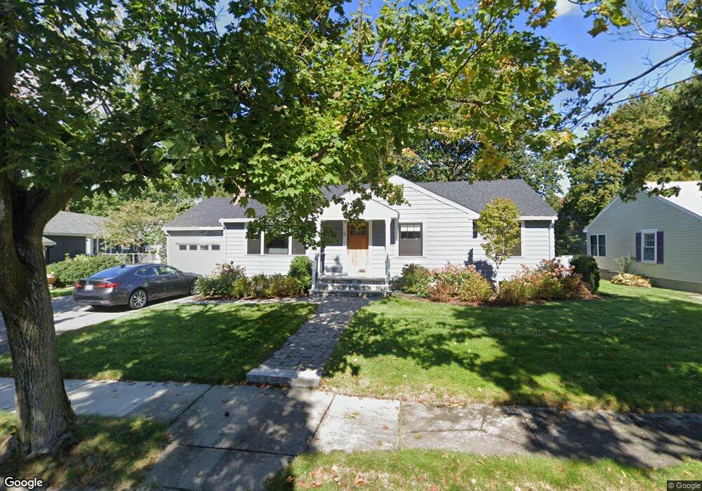
8 Swallow Dr Newton Lower Falls, MA 02462
Newton Lower Falls NeighborhoodEstimated Value: $1,180,000 - $1,446,000
3
Beds
3
Baths
1,766
Sq Ft
$740/Sq Ft
Est. Value
About This Home
This home is located at 8 Swallow Dr, Newton Lower Falls, MA 02462 and is currently estimated at $1,306,707, approximately $739 per square foot. 8 Swallow Dr is a home located in Middlesex County with nearby schools including Angier Elementary School, Charles E Brown Middle School, and Newton South High School.
Ownership History
Date
Name
Owned For
Owner Type
Purchase Details
Closed on
Oct 25, 1991
Sold by
Orr Mary L
Bought by
Zissman Marc A and Zissman Victoria Z
Current Estimated Value
Home Financials for this Owner
Home Financials are based on the most recent Mortgage that was taken out on this home.
Original Mortgage
$130,000
Interest Rate
8.98%
Mortgage Type
Purchase Money Mortgage
Create a Home Valuation Report for This Property
The Home Valuation Report is an in-depth analysis detailing your home's value as well as a comparison with similar homes in the area
Home Values in the Area
Average Home Value in this Area
Purchase History
| Date | Buyer | Sale Price | Title Company |
|---|---|---|---|
| Zissman Marc A | $220,000 | -- |
Source: Public Records
Mortgage History
| Date | Status | Borrower | Loan Amount |
|---|---|---|---|
| Closed | Zissman Marc A | $130,000 |
Source: Public Records
Tax History Compared to Growth
Tax History
| Year | Tax Paid | Tax Assessment Tax Assessment Total Assessment is a certain percentage of the fair market value that is determined by local assessors to be the total taxable value of land and additions on the property. | Land | Improvement |
|---|---|---|---|---|
| 2025 | $12,501 | $1,275,600 | $823,000 | $452,600 |
| 2024 | $12,087 | $1,238,400 | $799,000 | $439,400 |
| 2023 | $11,436 | $1,123,400 | $616,000 | $507,400 |
| 2022 | $10,943 | $1,040,200 | $570,400 | $469,800 |
| 2021 | $9,602 | $981,300 | $538,100 | $443,200 |
| 2020 | $7,173 | $687,100 | $538,100 | $149,000 |
| 2019 | $6,971 | $667,100 | $522,400 | $144,700 |
| 2018 | $6,586 | $608,700 | $470,300 | $138,400 |
| 2017 | $6,385 | $574,200 | $443,700 | $130,500 |
| 2016 | $6,107 | $536,600 | $414,700 | $121,900 |
| 2015 | $5,822 | $501,500 | $387,600 | $113,900 |
Source: Public Records
Map
Nearby Homes
- 45 Moulton St
- 25 Columbia St
- 17 Deforest Rd
- 7 Crescent St
- 2084 Washington St
- 45 E Quinobequin Rd
- 2 Longfellow Rd
- 34 Palmer Rd
- 8 Old Town Rd
- 12 Bird Hill Ave
- 177 Varick Rd
- 135 Orchard Ave
- 41 Orchard Ave
- 27 Oakwood Rd
- 10 Lorraine Cir
- 20 Oakland Street Front
- 54 Colburn Rd
- 33 Metacomet Rd
- 17 Lasell St
- 52 Valley Rd
- 14 Swallow Dr
- 30 Baker Place
- 30 Baker Place Unit 30
- 18 Baker Place
- 18 Baker Place Unit 1
- 20 Swallow Dr
- 15 Atkinson St
- 9 Swallow Dr
- 19 Swallow Dr
- 10 Baker Place
- 29 Baker Place
- 26 Swallow Dr
- 35 Baker Place
- 25 Baker Place
- 73 Cornell St
- 41 Baker Place
- 52 Baker Place
- 59 Cornell St Unit 61
- 17 Baker Place
- 63 Cornell St