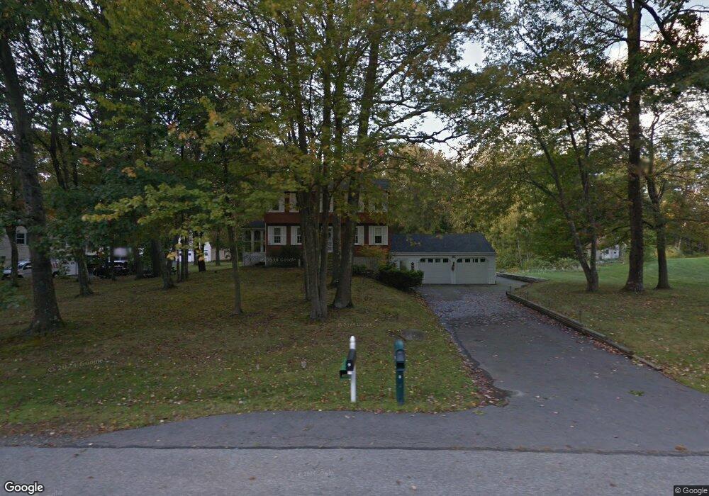
8 Thornton Rd Londonderry, NH 03053
Estimated Value: $591,173 - $652,000
4
Beds
2
Baths
1,768
Sq Ft
$349/Sq Ft
Est. Value
About This Home
This home is located at 8 Thornton Rd, Londonderry, NH 03053 and is currently estimated at $617,543, approximately $349 per square foot. 8 Thornton Rd is a home with nearby schools including Matthew Thornton Elementary School, Londonderry Middle School, and Londonderry Senior High School.
Create a Home Valuation Report for This Property
The Home Valuation Report is an in-depth analysis detailing your home's value as well as a comparison with similar homes in the area
Home Values in the Area
Average Home Value in this Area
Tax History Compared to Growth
Tax History
| Year | Tax Paid | Tax Assessment Tax Assessment Total Assessment is a certain percentage of the fair market value that is determined by local assessors to be the total taxable value of land and additions on the property. | Land | Improvement |
|---|---|---|---|---|
| 2024 | $8,288 | $513,500 | $199,900 | $313,600 |
| 2023 | $8,036 | $513,500 | $199,900 | $313,600 |
| 2022 | $7,170 | $388,000 | $149,800 | $238,200 |
| 2021 | $7,131 | $388,000 | $149,800 | $238,200 |
| 2020 | $6,998 | $348,000 | $112,400 | $235,600 |
| 2019 | $6,748 | $348,000 | $112,400 | $235,600 |
| 2018 | $6,180 | $283,500 | $93,700 | $189,800 |
| 2017 | $6,126 | $283,500 | $93,700 | $189,800 |
| 2016 | $6,095 | $283,500 | $93,700 | $189,800 |
| 2015 | $5,959 | $283,500 | $93,700 | $189,800 |
| 2014 | $5,979 | $283,500 | $93,700 | $189,800 |
| 2011 | -- | $288,600 | $93,700 | $194,900 |
Source: Public Records
Map
Nearby Homes
- 90 High Range Rd
- 88 High Range Rd
- 6 Wiley Hill Rd
- 3 Chandler Dr
- 5 Delphi Way
- 3 Delphi Way
- 7 Delphi Way
- 17 Lily Ln
- 4 Delphi Way
- 31 Midridge Cir
- 1 Delphi Way
- 1 Delphi Way Unit 10
- 19 Lily Ln
- 27 Midridge Cir
- 11 Midridge Cir Unit 116
- 1 Lily Ln
- 111 Winterwood Dr
- 214 Winding Pond Rd
- 11 Elise Ave Unit Lot 91
- 47 Winding Pond Rd