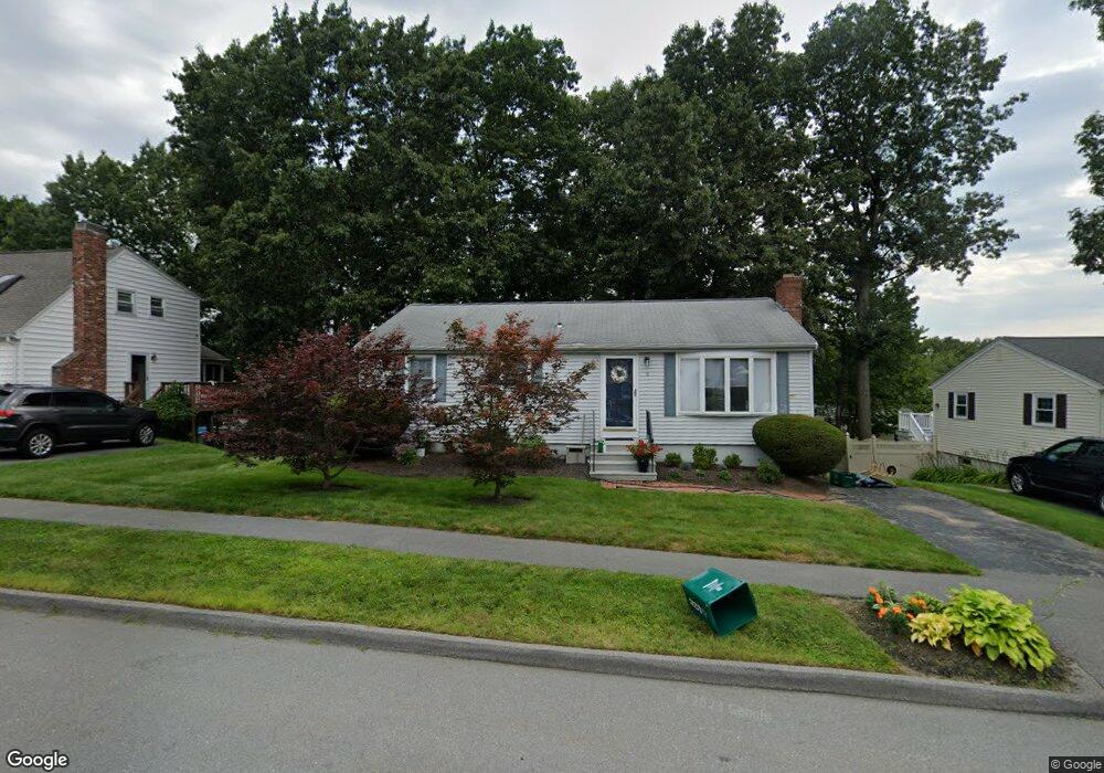
8 Westport Rd Worcester, MA 01605
Forest Grove NeighborhoodEstimated Value: $432,613 - $494,000
3
Beds
3
Baths
960
Sq Ft
$482/Sq Ft
Est. Value
About This Home
This home is located at 8 Westport Rd, Worcester, MA 01605 and is currently estimated at $462,653, approximately $481 per square foot. 8 Westport Rd is a home located in Worcester County with nearby schools including Nelson Place Elementary School, Jacob Hiatt Magnet School, and Chandler Magnet.
Create a Home Valuation Report for This Property
The Home Valuation Report is an in-depth analysis detailing your home's value as well as a comparison with similar homes in the area
Home Values in the Area
Average Home Value in this Area
Tax History
| Year | Tax Paid | Tax Assessment Tax Assessment Total Assessment is a certain percentage of the fair market value that is determined by local assessors to be the total taxable value of land and additions on the property. | Land | Improvement |
|---|---|---|---|---|
| 2025 | $4,663 | $353,500 | $117,500 | $236,000 |
| 2024 | $4,569 | $332,300 | $117,500 | $214,800 |
| 2023 | $4,486 | $312,800 | $102,200 | $210,600 |
| 2022 | $3,973 | $261,200 | $81,800 | $179,400 |
| 2021 | $3,796 | $233,200 | $65,400 | $167,800 |
| 2020 | $3,650 | $214,700 | $65,400 | $149,300 |
| 2019 | $3,431 | $190,600 | $58,800 | $131,800 |
| 2018 | $3,326 | $175,900 | $58,800 | $117,100 |
| 2017 | $3,329 | $173,200 | $58,800 | $114,400 |
| 2016 | $3,221 | $156,300 | $42,700 | $113,600 |
| 2015 | $3,137 | $156,300 | $42,700 | $113,600 |
| 2014 | $3,054 | $156,300 | $42,700 | $113,600 |
Source: Public Records
Map
Nearby Homes
- 7 Albemarle St
- 97 Parkton Ave
- 46 Jordan Rd
- 144 Holden St
- 1 Brookhaven Rd
- 770 Salisbury St Unit 346
- 770 Salisbury St Unit 558
- 770 Salisbury St Unit 424
- 10 Dick Dr
- 125 Indian Hill Rd
- 6 Barrows Rd
- 61 Nelson Place
- 7 Primmett Ln
- 3 Summerland Way Unit 3
- 26 Whisper Dr
- 4 King Philip Trail Unit 601
- 7 Tideswell Ln Unit 7
- 189 Holden St
- 577 Grove St
- 3 Old Brook Dr
Your Personal Tour Guide
Ask me questions while you tour the home.