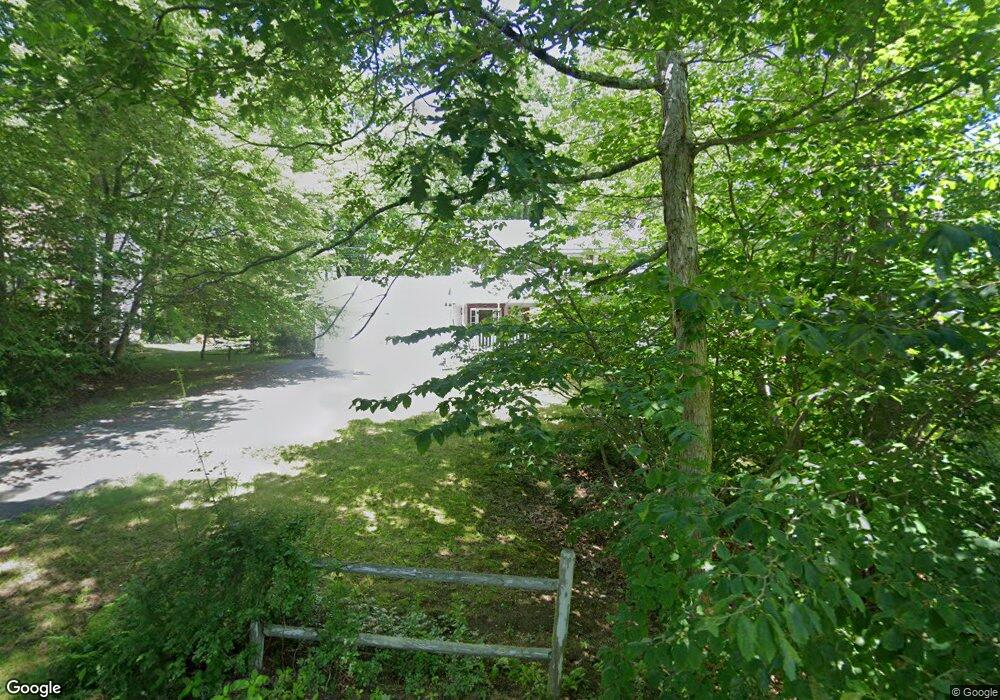
8 Whipple Ln Goffstown, NH 03045
Estimated Value: $505,382 - $551,000
3
Beds
2
Baths
1,696
Sq Ft
$311/Sq Ft
Est. Value
About This Home
This home is located at 8 Whipple Ln, Goffstown, NH 03045 and is currently estimated at $527,096, approximately $310 per square foot. 8 Whipple Ln is a home with nearby schools including Mountain View Middle School and Goffstown High School.
Ownership History
Date
Name
Owned For
Owner Type
Purchase Details
Closed on
Sep 26, 2003
Sold by
Kunz Lawrence and Kunz Carol
Bought by
Stafford David H and Stafford Cherie-Lee J T
Current Estimated Value
Purchase Details
Closed on
May 28, 1999
Sold by
Moore Barry L and Moore Susan M
Bought by
Kunz Lawrence and Kunz Carol
Purchase Details
Closed on
Jul 2, 1997
Sold by
Bernard Donald G and Bernard Sandra J
Bought by
Moore Barry L and Moore Susan M
Create a Home Valuation Report for This Property
The Home Valuation Report is an in-depth analysis detailing your home's value as well as a comparison with similar homes in the area
Home Values in the Area
Average Home Value in this Area
Purchase History
| Date | Buyer | Sale Price | Title Company |
|---|---|---|---|
| Stafford David H | $240,000 | -- | |
| Kunz Lawrence | $135,000 | -- | |
| Moore Barry L | $118,500 | -- |
Source: Public Records
Mortgage History
| Date | Status | Borrower | Loan Amount |
|---|---|---|---|
| Open | Moore Barry L | $161,800 | |
| Closed | Moore Barry L | $116,000 | |
| Closed | Moore Barry L | $25,000 |
Source: Public Records
Tax History Compared to Growth
Tax History
| Year | Tax Paid | Tax Assessment Tax Assessment Total Assessment is a certain percentage of the fair market value that is determined by local assessors to be the total taxable value of land and additions on the property. | Land | Improvement |
|---|---|---|---|---|
| 2024 | $8,241 | $403,200 | $170,800 | $232,400 |
| 2023 | $7,604 | $403,200 | $170,800 | $232,400 |
| 2022 | $6,877 | $261,400 | $107,300 | $154,100 |
| 2021 | $6,488 | $261,400 | $107,300 | $154,100 |
| 2020 | $6,488 | $261,400 | $107,300 | $154,100 |
| 2019 | $6,425 | $261,400 | $107,300 | $154,100 |
| 2018 | $4,974 | $267,400 | $113,300 | $154,100 |
| 2017 | $6,274 | $228,800 | $94,200 | $134,600 |
| 2016 | $6,047 | $228,800 | $94,200 | $134,600 |
| 2015 | $6,063 | $215,300 | $86,400 | $128,900 |
| 2014 | $5,813 | $215,300 | $86,400 | $128,900 |
Source: Public Records
Map
Nearby Homes
- 25 Pleasant St
- 99 Elm St
- 12 S Mast St
- 39 S Mast St
- 137 Elm St
- 88 Saunders Rd
- 16 Palmer Rd
- 22 Winter Hill Rd
- 232 N Mast St
- 120 S Mast St
- 152 S Mast St
- 2 Larch St Unit 1
- 12 Maplewood Ave
- 21A Apple Tree Dr
- 45 Range Rd
- 22 Fairway Dr
- 0 Fairway Dr Unit 11
- 602 Black Brook Rd
- 186 Kimball Pond Rd
- 174 S Stark Hwy Unit 13