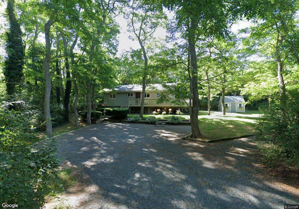
8 White Swallow Cartway Brewster, MA 02631
Estimated Value: $602,000 - $664,958
3
Beds
2
Baths
912
Sq Ft
$687/Sq Ft
Est. Value
About This Home
This home is located at 8 White Swallow Cartway, Brewster, MA 02631 and is currently estimated at $626,990, approximately $687 per square foot. 8 White Swallow Cartway is a home located in Barnstable County with nearby schools including Stony Brook Elementary School, Eddy Elementary School, and Nauset Regional Middle School.
Ownership History
Date
Name
Owned For
Owner Type
Purchase Details
Closed on
Dec 16, 2008
Sold by
Siegal Alan G and Siegal Pearl K
Bought by
Siegal Alan G and Siegal Pearl K
Current Estimated Value
Purchase Details
Closed on
Mar 4, 1992
Sold by
Supernor Eugene P
Bought by
Siegal Alan G and Siegal Pearl K
Home Financials for this Owner
Home Financials are based on the most recent Mortgage that was taken out on this home.
Original Mortgage
$30,000
Interest Rate
8.5%
Mortgage Type
Purchase Money Mortgage
Create a Home Valuation Report for This Property
The Home Valuation Report is an in-depth analysis detailing your home's value as well as a comparison with similar homes in the area
Home Values in the Area
Average Home Value in this Area
Purchase History
| Date | Buyer | Sale Price | Title Company |
|---|---|---|---|
| Siegal Alan G | -- | -- | |
| Siegal Alan G | $110,000 | -- |
Source: Public Records
Mortgage History
| Date | Status | Borrower | Loan Amount |
|---|---|---|---|
| Previous Owner | Siegal Alan G | $30,000 |
Source: Public Records
Tax History Compared to Growth
Tax History
| Year | Tax Paid | Tax Assessment Tax Assessment Total Assessment is a certain percentage of the fair market value that is determined by local assessors to be the total taxable value of land and additions on the property. | Land | Improvement |
|---|---|---|---|---|
| 2025 | $3,672 | $533,700 | $251,200 | $282,500 |
| 2024 | $3,432 | $504,000 | $237,000 | $267,000 |
| 2023 | $3,175 | $454,200 | $211,600 | $242,600 |
| 2022 | $2,981 | $379,800 | $176,300 | $203,500 |
| 2021 | $2,865 | $333,900 | $153,200 | $180,700 |
| 2020 | $2,808 | $325,700 | $153,200 | $172,500 |
| 2019 | $3,725 | $316,200 | $147,400 | $168,800 |
| 2018 | $2,558 | $309,700 | $147,400 | $162,300 |
| 2017 | $2,441 | $290,900 | $147,400 | $143,500 |
| 2016 | $2,407 | $285,500 | $144,500 | $141,000 |
| 2015 | $2,323 | $281,200 | $141,700 | $139,500 |
Source: Public Records
Map
Nearby Homes
- 130 Millstone Rd Unit 12
- 190 Blueberry Pond Dr
- 410 Blueberry Pond Dr
- 153 Red Fawn Rd
- 195 Ellis Landing Rd
- 277 Lund Farm Way
- 261 Linnell Landing Rd Unit 4
- 261 Linnell Landing Rd Unit 2
- 261 Linnell Landing Rd Unit 1
- 126 Bittersweet Dr
- 28 Middlecott Ln
- 105 Middlecott Ln Unit 105
- 82 Middlecott Ln
- 42 Landing Ln Unit 42
- 100 Fletcher Ln Unit E
- 166 Highland Moors Dr
- 81 Fletcher Ln Unit I
- 81 Fletcher Ln Unit C
- 80 Fletcher Ln Unit E
- 28 White Swallow
- 16 White Swallow Cartway
- 16 White Swallow
- 99 Millstone Rd
- 45 Millstone Rd
- 28 White Swallow Cartway
- 14 Puritan Dr
- 108 Millstone Rd
- 26 Puritan Dr
- 133 Millstone Rd
- 19 Puritan Dr
- 51 Henrys Rd
- 118 Millstone Rd
- 3058 Main St
- 36 Puritan Dr
- 43 Henrys Rd
- 63 Henrys Rd
- 129 Henrys Rd
- 145 Henrys Rd
- 33 Puritan Dr