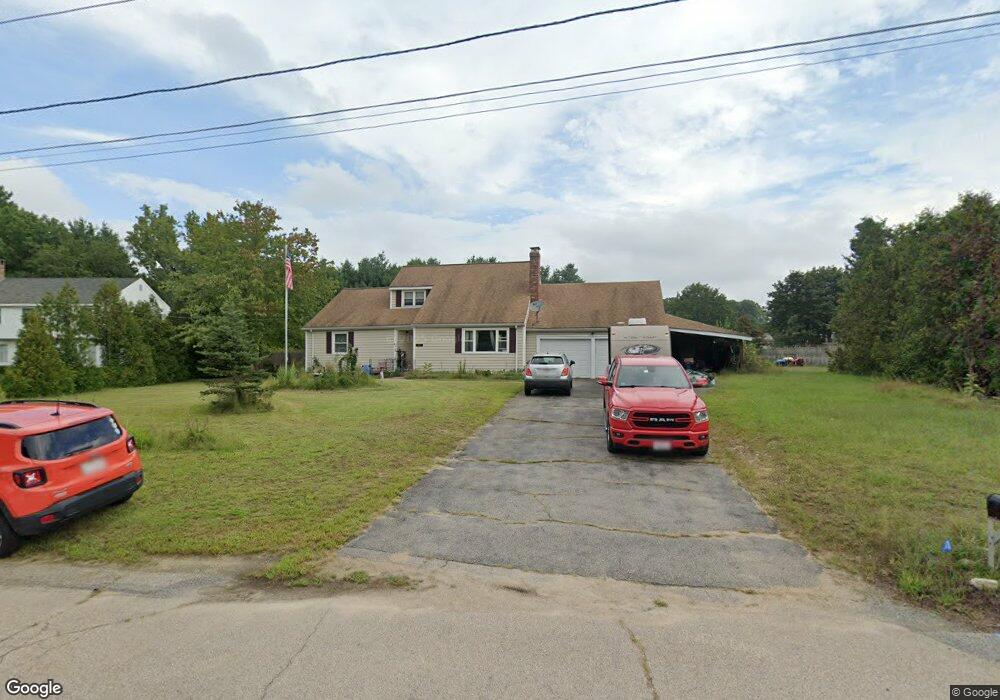
80 Blake Rd Wrentham, MA 02093
Estimated Value: $628,000 - $769,000
2
Beds
2
Baths
1,791
Sq Ft
$388/Sq Ft
Est. Value
About This Home
This home is located at 80 Blake Rd, Wrentham, MA 02093 and is currently estimated at $695,104, approximately $388 per square foot. 80 Blake Rd is a home located in Norfolk County with nearby schools including Delaney Elementary School and Charles E Roderick.
Ownership History
Date
Name
Owned For
Owner Type
Purchase Details
Closed on
Mar 7, 1988
Sold by
Stoddard Judith E
Bought by
Richards David W
Current Estimated Value
Purchase Details
Closed on
Nov 16, 1987
Sold by
Baskys Julius E
Bought by
Richards David W
Home Financials for this Owner
Home Financials are based on the most recent Mortgage that was taken out on this home.
Original Mortgage
$110,000
Interest Rate
11.13%
Mortgage Type
Purchase Money Mortgage
Create a Home Valuation Report for This Property
The Home Valuation Report is an in-depth analysis detailing your home's value as well as a comparison with similar homes in the area
Home Values in the Area
Average Home Value in this Area
Purchase History
| Date | Buyer | Sale Price | Title Company |
|---|---|---|---|
| Richards David W | $25,000 | -- | |
| Richards David W | $169,900 | -- |
Source: Public Records
Mortgage History
| Date | Status | Borrower | Loan Amount |
|---|---|---|---|
| Closed | Richards David W | $147,000 | |
| Previous Owner | Richards David W | $110,000 |
Source: Public Records
Tax History Compared to Growth
Tax History
| Year | Tax Paid | Tax Assessment Tax Assessment Total Assessment is a certain percentage of the fair market value that is determined by local assessors to be the total taxable value of land and additions on the property. | Land | Improvement |
|---|---|---|---|---|
| 2025 | $6,537 | $564,000 | $289,200 | $274,800 |
| 2024 | $6,679 | $556,600 | $289,200 | $267,400 |
| 2023 | $6,617 | $524,300 | $262,900 | $261,400 |
| 2022 | $5,711 | $417,800 | $245,400 | $172,400 |
| 2021 | $5,890 | $418,600 | $214,200 | $204,400 |
| 2020 | $5,411 | $379,700 | $190,500 | $189,200 |
| 2019 | $5,496 | $389,200 | $190,500 | $198,700 |
| 2018 | $5,173 | $363,300 | $190,600 | $172,700 |
| 2017 | $4,866 | $341,500 | $186,900 | $154,600 |
| 2016 | $4,784 | $335,000 | $181,500 | $153,500 |
| 2015 | $4,635 | $309,400 | $174,500 | $134,900 |
| 2014 | $4,558 | $297,700 | $167,800 | $129,900 |
Source: Public Records
Map
Nearby Homes
- 246 Forest Grove Ave
- 45 Joshua Rd
- 50 Reed Fulton Ave Unit Lot 61
- 570 Franklin St
- 270 Dedham St
- 10 Nature View Dr
- 15 Nature View Dr
- 3 Oak Rd
- 1 Lorraine Metcalf Dr
- 0 W Birch Rd
- 45 King St
- 10 W Birch Rd
- 131 Creek St Unit 7
- 3 Sparrow Rd
- 38 Robin Rd
- 362 East St
- 14 Essex St
- 11 Earle Stewart Ln
- 11 Quail Run Rd
- Lot 3 - 14 Earle Stewart Ln