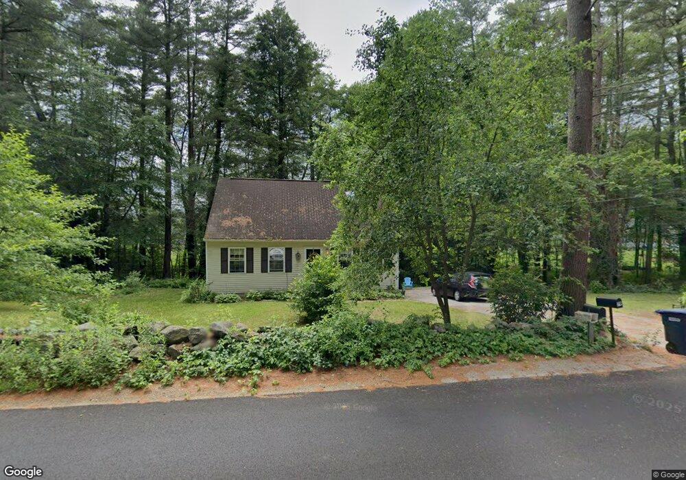
80 Bond Rd Charlton, MA 01507
Estimated Value: $448,000 - $477,000
3
Beds
2
Baths
1,428
Sq Ft
$326/Sq Ft
Est. Value
About This Home
This home is located at 80 Bond Rd, Charlton, MA 01507 and is currently estimated at $465,145, approximately $325 per square foot. 80 Bond Rd is a home located in Worcester County with nearby schools including Shepherd Hill Regional High School.
Ownership History
Date
Name
Owned For
Owner Type
Purchase Details
Closed on
Jul 29, 1994
Sold by
Regep Dev Corp
Bought by
Romano Donald A and Romano Janice
Current Estimated Value
Home Financials for this Owner
Home Financials are based on the most recent Mortgage that was taken out on this home.
Original Mortgage
$79,400
Interest Rate
8.25%
Mortgage Type
Purchase Money Mortgage
Create a Home Valuation Report for This Property
The Home Valuation Report is an in-depth analysis detailing your home's value as well as a comparison with similar homes in the area
Home Values in the Area
Average Home Value in this Area
Purchase History
| Date | Buyer | Sale Price | Title Company |
|---|---|---|---|
| Romano Donald A | $99,900 | -- | |
| Romano Donald A | $99,900 | -- |
Source: Public Records
Mortgage History
| Date | Status | Borrower | Loan Amount |
|---|---|---|---|
| Open | Romano Donald A | $75,000 | |
| Closed | Romano Donald A | $77,500 | |
| Closed | Romano Donald A | $79,400 |
Source: Public Records
Tax History Compared to Growth
Tax History
| Year | Tax Paid | Tax Assessment Tax Assessment Total Assessment is a certain percentage of the fair market value that is determined by local assessors to be the total taxable value of land and additions on the property. | Land | Improvement |
|---|---|---|---|---|
| 2025 | $4,343 | $390,200 | $127,400 | $262,800 |
| 2024 | $4,245 | $374,300 | $125,600 | $248,700 |
| 2023 | $4,017 | $330,100 | $111,900 | $218,200 |
| 2022 | $3,801 | $286,000 | $100,600 | $185,400 |
| 2021 | $3,766 | $250,900 | $96,400 | $154,500 |
| 2020 | $3,704 | $247,900 | $93,400 | $154,500 |
| 2019 | $3,661 | $247,900 | $93,400 | $154,500 |
| 2018 | $3,347 | $247,900 | $93,400 | $154,500 |
| 2017 | $3,244 | $230,100 | $87,400 | $142,700 |
| 2016 | $3,171 | $230,100 | $87,400 | $142,700 |
| 2015 | $3,088 | $230,100 | $87,400 | $142,700 |
| 2014 | $2,871 | $226,800 | $85,500 | $141,300 |
Source: Public Records
Map
Nearby Homes
- 0 Freeman Rd Unit 73369281
- 58 Colburn Rd
- 0 Partridge Hill Rd
- 13 Boucher Dr
- 7 L Stevens Rd Unit A
- 7 L Stevens Rd Unit B
- 18 Old Worcester Rd
- 8 Northside Rd
- 5 Northside Rd
- 2 Lelandville Rd
- 3 Lelandville Rd
- 76 Number 6 Schoolhouse Rd
- 91 Burlingame Rd
- 25 N Main St Unit A
- 65 Haggerty Rd
- 105 Carroll Hill Rd
- 44 Buffum Rd
- 102 Worcester Rd
- 2 Potter Village Rd
- 0 Trolley Crossing Rd