80 Butterfield Rd Center Harbor, NH 03226
Center Harbor NeighborhoodEstimated Value: $1,204,000 - $2,083,000
3
Beds
5
Baths
3,056
Sq Ft
$506/Sq Ft
Est. Value
About This Home
This home is located at 80 Butterfield Rd, Center Harbor, NH 03226 and is currently estimated at $1,546,818, approximately $506 per square foot. 80 Butterfield Rd is a home with nearby schools including Inter-Lakes Elementary School and Immaculate Conception Apostolic School.
Ownership History
Date
Name
Owned For
Owner Type
Purchase Details
Closed on
Mar 5, 2013
Sold by
Robert J Jones Ret
Bought by
Fenton James
Current Estimated Value
Purchase Details
Closed on
Jan 5, 2005
Sold by
Barton Dwight
Bought by
Jones Robert J
Home Financials for this Owner
Home Financials are based on the most recent Mortgage that was taken out on this home.
Original Mortgage
$112,500
Interest Rate
5.75%
Create a Home Valuation Report for This Property
The Home Valuation Report is an in-depth analysis detailing your home's value as well as a comparison with similar homes in the area
Home Values in the Area
Average Home Value in this Area
Purchase History
| Date | Buyer | Sale Price | Title Company |
|---|---|---|---|
| Fenton James | $190,000 | -- | |
| Jones Robert J | $150,000 | -- |
Source: Public Records
Mortgage History
| Date | Status | Borrower | Loan Amount |
|---|---|---|---|
| Previous Owner | Jones Robert J | $112,500 |
Source: Public Records
Tax History Compared to Growth
Tax History
| Year | Tax Paid | Tax Assessment Tax Assessment Total Assessment is a certain percentage of the fair market value that is determined by local assessors to be the total taxable value of land and additions on the property. | Land | Improvement |
|---|---|---|---|---|
| 2024 | $11,326 | $1,059,480 | $466,200 | $593,280 |
| 2023 | $10,383 | $1,059,480 | $466,200 | $593,280 |
| 2022 | $9,525 | $1,059,480 | $466,200 | $593,280 |
| 2021 | $11,711 | $766,910 | $327,500 | $439,410 |
| 2020 | $11,757 | $766,910 | $327,500 | $439,410 |
| 2019 | $11,672 | $766,910 | $327,500 | $439,410 |
| 2018 | $10,997 | $766,910 | $327,500 | $439,410 |
| 2017 | $10,645 | $766,910 | $327,500 | $439,410 |
| 2016 | $9,604 | $667,900 | $176,600 | $491,300 |
| 2015 | $9,143 | $635,800 | $176,600 | $459,200 |
| 2013 | $2,510 | $190,300 | $190,300 | $0 |
Source: Public Records
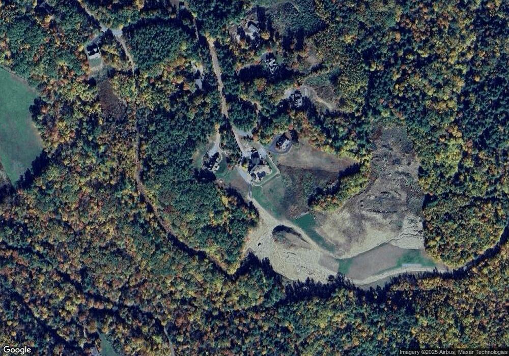
Map
Nearby Homes
- 24 Dew Point Ln
- 52 Chase Cir
- 00 Whittier Hwy Unit 8
- 00 Gilman Hill Rd Unit 1
- 38 Lake Shore Dr Unit 12
- 38 Lake Shore Dr Unit 10
- 320 Redding Ln
- 20 True Rd Unit 85
- 20 True Rd Unit 101
- 20 True Rd Unit 63
- 142 Nh Route 25
- 1 Little Beaver Island
- 22 Tiger Trail
- 32 Boynton Rd
- 8 Kelly Ln
- 30 Leopards Leap
- 111 Nh Route 25
- 203 Krainewood Dr
- 33 Blackadar Ln
- 99 Pleasant St
- 78 Butterfield Rd
- 84 Butterfield Rd
- 92 Butterfield Rd
- 58 Butterfield Rd
- 69 Butterfield Rd
- 0 Butterfield Rd Unit 70090247
- 0 Butterfield Rd Unit 2726085
- 221 Coe Hill Rd
- 28 Butterfield Rd
- Lot 8 Butterfield Rd
- 53 Butterfield Rd
- 217 Coe Hill Rd
- 22 Butterfield Rd
- 215 Coe Hill Rd
- 8 Butterfield Hill Rd
- 8 Butterfield Rd
- 159 Old Center Harbor Rd
- 49 Whittier Hwy
- 181 Coe Hill Rd
- 207 Coe Hill Rd