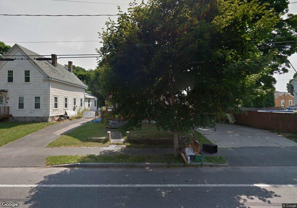
80 Copeland St Brockton, MA 02301
Campello NeighborhoodEstimated Value: $623,835 - $830,000
6
Beds
2
Baths
2,143
Sq Ft
$337/Sq Ft
Est. Value
About This Home
This home is located at 80 Copeland St, Brockton, MA 02301 and is currently estimated at $722,959, approximately $337 per square foot. 80 Copeland St is a home located in Plymouth County with nearby schools including Davis K-8 School, John F. Kennedy Elementary School, and South Middle School.
Ownership History
Date
Name
Owned For
Owner Type
Purchase Details
Closed on
Jul 27, 2017
Sold by
Donohue Glen E
Bought by
Hinton Charis J
Current Estimated Value
Home Financials for this Owner
Home Financials are based on the most recent Mortgage that was taken out on this home.
Original Mortgage
$304,385
Outstanding Balance
$248,967
Interest Rate
3.25%
Mortgage Type
FHA
Estimated Equity
$473,992
Purchase Details
Closed on
Jun 5, 1996
Sold by
Cowan Stephanie A Est
Bought by
Donohue Glen E and Cook Leah M
Create a Home Valuation Report for This Property
The Home Valuation Report is an in-depth analysis detailing your home's value as well as a comparison with similar homes in the area
Home Values in the Area
Average Home Value in this Area
Purchase History
| Date | Buyer | Sale Price | Title Company |
|---|---|---|---|
| Hinton Charis J | $310,000 | -- | |
| Donohue Glen E | $34,000 | -- |
Source: Public Records
Mortgage History
| Date | Status | Borrower | Loan Amount |
|---|---|---|---|
| Open | Hinton Charis J | $304,385 | |
| Previous Owner | Donohue Glen E | $60,000 |
Source: Public Records
Tax History Compared to Growth
Tax History
| Year | Tax Paid | Tax Assessment Tax Assessment Total Assessment is a certain percentage of the fair market value that is determined by local assessors to be the total taxable value of land and additions on the property. | Land | Improvement |
|---|---|---|---|---|
| 2025 | $7,310 | $603,600 | $134,000 | $469,600 |
| 2024 | $7,117 | $592,100 | $134,000 | $458,100 |
| 2023 | $6,757 | $520,600 | $100,800 | $419,800 |
| 2022 | $6,571 | $470,400 | $91,300 | $379,100 |
| 2021 | $5,951 | $410,400 | $75,300 | $335,100 |
| 2020 | $5,289 | $349,100 | $71,300 | $277,800 |
| 2019 | $5,169 | $332,600 | $68,500 | $264,100 |
| 2018 | $5,176 | $322,300 | $68,500 | $253,800 |
| 2017 | $4,323 | $268,500 | $68,500 | $200,000 |
| 2016 | $3,819 | $220,000 | $66,300 | $153,700 |
| 2015 | $2,900 | $159,800 | $66,300 | $93,500 |
| 2014 | $3,051 | $168,300 | $66,300 | $102,000 |
Source: Public Records
Map
Nearby Homes
- 115 Market St
- 47 Southworth St
- 65 Tremont St
- 137 Channing Ave
- 977 Warren Ave
- 936 Warren Ave
- 223 Clinton St Unit 10
- 223 Clinton St Unit 3
- 35 Longworth Ave Unit 17
- 176 Ettrick St
- 153 Bouve Ave
- 37 Menlo Ave
- 15 Longworth Ave Unit 231
- 358 Copeland St
- 222 Menlo St
- 20 Custer St
- 103 Clinton St
- 56 Cottage Grove Ave
- 115 Ettrick St
- 15 1st St
- 76 Copeland St
- 155 Clifton Ave
- 74 Copeland St
- 159 Clifton Ave
- 159 Clifton Ave Unit 2
- 153 Clifton Ave
- 149 Clifton Ave
- 149 Clifton Ave
- 149 Clifton Ave Unit 3
- 149 Clifton Ave Unit 2
- 66 Copeland St
- 77 Copeland St
- 81 Copeland St
- 145 Clifton Ave
- 71 Copeland St
- 67 Copeland St
- 87 Copeland St
- 143 Clifton Ave
- 63 Copeland St
- 150 Clifton Ave