80 Dry Fork Dr Winchester, TN 37398
Estimated Value: $370,000 - $503,000
Studio
--
Bath
1,533
Sq Ft
$293/Sq Ft
Est. Value
About This Home
This home is located at 80 Dry Fork Dr, Winchester, TN 37398 and is currently estimated at $448,722, approximately $292 per square foot. 80 Dry Fork Dr is a home with nearby schools including South Middle School, Franklin County High School, and Winchester Christian Academy.
Ownership History
Date
Name
Owned For
Owner Type
Purchase Details
Closed on
Jul 16, 2025
Sold by
Potts Richard L
Bought by
Potts Trust and Potts
Current Estimated Value
Purchase Details
Closed on
May 5, 2021
Sold by
Taylor Trevor C
Bought by
Potts Richard L
Purchase Details
Closed on
Apr 19, 2016
Sold by
Twin Creeks Properties Llc
Bought by
Taylor Trevor C
Purchase Details
Closed on
Dec 29, 2015
Sold by
Franklin County United Bank
Bought by
Twin Creeks Development Llc
Purchase Details
Closed on
Jan 3, 2007
Bought by
Twin Creeks Development Ll
Purchase Details
Closed on
Jan 22, 1986
Bought by
Anderton Wade Blevins and Anderton Jo Carter
Purchase Details
Closed on
May 5, 1969
Bought by
Anderton Rebecca Choate
Create a Home Valuation Report for This Property
The Home Valuation Report is an in-depth analysis detailing your home's value as well as a comparison with similar homes in the area
Home Values in the Area
Average Home Value in this Area
Purchase History
| Date | Buyer | Sale Price | Title Company |
|---|---|---|---|
| Potts Trust | -- | None Listed On Document | |
| Potts Trust | -- | None Listed On Document | |
| Potts Richard L | $60,000 | None Available | |
| Taylor Trevor C | $29,900 | -- | |
| Twin Creeks Development Llc | $1,300,000 | -- | |
| Twin Creeks Development Ll | $560,000 | -- | |
| Anderton Wade Blevins | -- | -- | |
| Anderton Rebecca Choate | -- | -- |
Source: Public Records
Tax History
| Year | Tax Paid | Tax Assessment Tax Assessment Total Assessment is a certain percentage of the fair market value that is determined by local assessors to be the total taxable value of land and additions on the property. | Land | Improvement |
|---|---|---|---|---|
| 2025 | -- | $90,050 | $20,000 | $70,050 |
| 2024 | $0 | $88,325 | $20,000 | $68,325 |
| 2023 | $2,271 | $88,325 | $20,000 | $68,325 |
| 2022 | $1,286 | $63,400 | $20,000 | $43,400 |
| 2021 | $163 | $63,400 | $20,000 | $43,400 |
| 2020 | $225 | $6,375 | $5,125 | $1,250 |
| 2019 | $225 | $6,375 | $5,125 | $1,250 |
| 2018 | $212 | $6,375 | $5,125 | $1,250 |
| 2017 | $212 | $6,375 | $5,125 | $1,250 |
| 2016 | $333 | $10,000 | $10,000 | $0 |
| 2015 | $327 | $10,000 | $10,000 | $0 |
| 2014 | $327 | $10,000 | $0 | $0 |
Source: Public Records
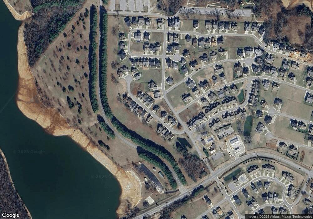
Map
Nearby Homes
- 0 Twin Creeks Dr Unit RTC2685254
- 0 Dry Fork Unit RTC3121620
- 71 Slalom Cir
- 0 Why Worry Ln Unit RTC3062133
- 5 Anderton Dr
- 4 Anderton Dr
- 69 Anderton Dr
- 44 Hammock Dr
- 0 Pontoon Place Unit RTC3129038
- 82 Hammock Dr
- 103 Anderton Dr
- 142 Hammock Ct
- 0 Slalom Cir Unit RTC2618426
- 0 Turtle Ct Unit 374
- 0 Kayak Way Unit 489
- 0 Kayak Way Unit RTC2648864
- 0 Kayak Way Unit RTC2969758
- 0 Suntan Ct Unit 316
- 0 Suntan Ct Unit 270
- 148 Anderton Dr
- 96 Lot Slalom Cir
- Lot 64 Dry Fork Dr
- 76 Dry Fork Dr
- 94 Dry Fork Dr
- 72 Dry Fork Dr
- 58 Dry Fork Dr
- 66 Dry Fork Dr
- 62 Dry Fork Dr
- 74 Dry Fork Dr
- 60 Dry Fork Dr
- 70 Dry Fork Dr
- 65 Dry Fork Dr
- 75 Dry Fork Dr
- 102 Dry Fork Dr
- 91 Dry Fork Dr
- 201 Twin Creeks Dr
- 110 Dry Fork Dr
- 101 Dry Fork Dr
- 53 Dry Fork Dr
- 42 Dry Fork Dr
Your Personal Tour Guide
Ask me questions while you tour the home.