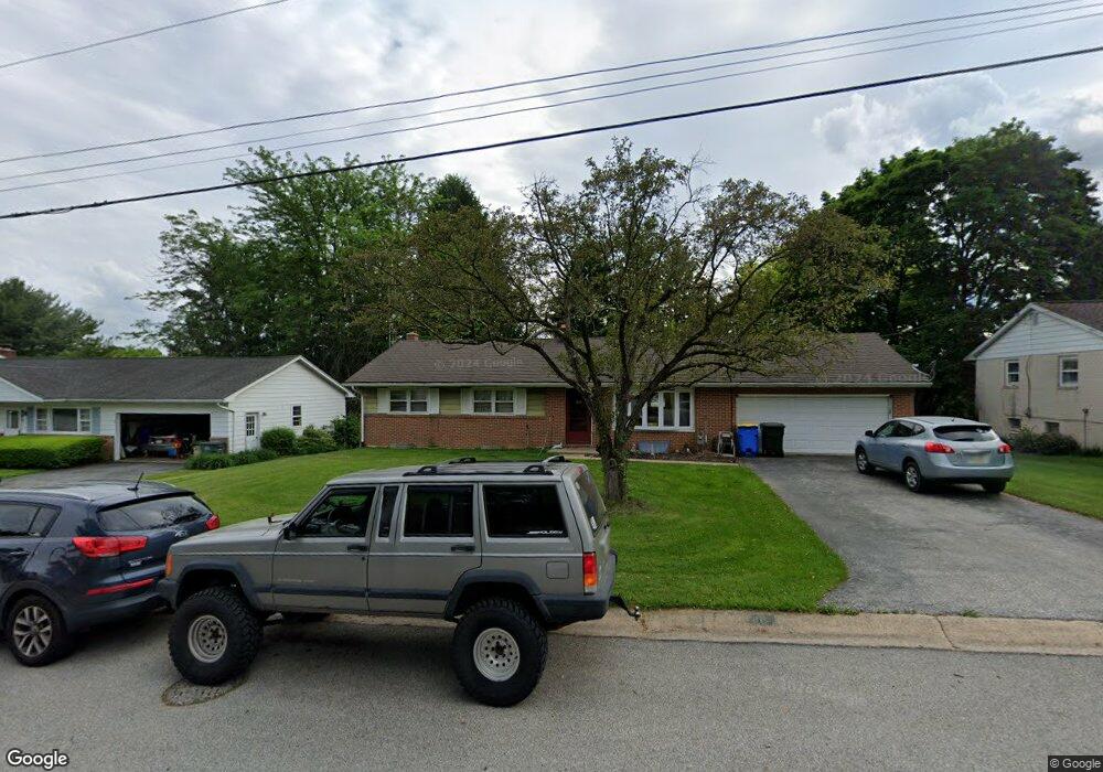
80 E King St Dallastown, PA 17313
Estimated Value: $257,000 - $293,000
3
Beds
2
Baths
1,170
Sq Ft
$233/Sq Ft
Est. Value
About This Home
This home is located at 80 E King St, Dallastown, PA 17313 and is currently estimated at $272,793, approximately $233 per square foot. 80 E King St is a home located in York County with nearby schools including Ore Valley Elementary School, Dallastown Area Middle School, and Dallastown Area High School.
Ownership History
Date
Name
Owned For
Owner Type
Purchase Details
Closed on
Feb 9, 2010
Sold by
Burrs Nancy A and Donecker Linda L
Bought by
Forry Lori S
Current Estimated Value
Home Financials for this Owner
Home Financials are based on the most recent Mortgage that was taken out on this home.
Original Mortgage
$136,345
Outstanding Balance
$93,427
Interest Rate
5.75%
Mortgage Type
FHA
Estimated Equity
$179,366
Purchase Details
Closed on
Jun 28, 1989
Bought by
Kohler Howard E and Kohler Margaret R
Create a Home Valuation Report for This Property
The Home Valuation Report is an in-depth analysis detailing your home's value as well as a comparison with similar homes in the area
Home Values in the Area
Average Home Value in this Area
Purchase History
| Date | Buyer | Sale Price | Title Company |
|---|---|---|---|
| Forry Lori S | $165,000 | None Available | |
| Kohler Howard E | $99,000 | -- |
Source: Public Records
Mortgage History
| Date | Status | Borrower | Loan Amount |
|---|---|---|---|
| Open | Forry Lori S | $136,345 |
Source: Public Records
Tax History
| Year | Tax Paid | Tax Assessment Tax Assessment Total Assessment is a certain percentage of the fair market value that is determined by local assessors to be the total taxable value of land and additions on the property. | Land | Improvement |
|---|---|---|---|---|
| 2025 | $4,727 | $137,720 | $37,290 | $100,430 |
| 2024 | $4,659 | $137,720 | $37,290 | $100,430 |
| 2023 | $4,659 | $137,720 | $37,290 | $100,430 |
| 2022 | $4,506 | $137,720 | $37,290 | $100,430 |
| 2021 | $4,293 | $137,720 | $37,290 | $100,430 |
| 2020 | $4,293 | $137,720 | $37,290 | $100,430 |
| 2019 | $4,279 | $137,720 | $37,290 | $100,430 |
| 2018 | $4,250 | $137,720 | $37,290 | $100,430 |
| 2017 | $4,081 | $137,720 | $37,290 | $100,430 |
| 2016 | $0 | $137,720 | $37,290 | $100,430 |
| 2015 | -- | $137,720 | $37,290 | $100,430 |
| 2014 | -- | $137,720 | $37,290 | $100,430 |
Source: Public Records
Map
Nearby Homes
- 695 Oak Rd
- 356 E Main St
- 39 W George St
- 727 Blossom Hill Ln
- 205 Teila Dr
- 165 April Ln
- 314 S Pleasant Ave
- 150 Yoe Dr
- 129 Heather Glen Dr Unit 78
- 127 Heather Glen Dr Unit 80
- 510 Katonah Dr Unit 6
- 417 Frederick Dr
- 169 Jonathan Way N
- 240 Palomino Way
- 320 Avon Dr
- 6 Hudson Blvd
- 374 Avon Dr Unit 282
- 479 Frederick Dr
- 437 Bradford Dr Unit 186
- 443 Bradford Dr Unit 183
Your Personal Tour Guide
Ask me questions while you tour the home.