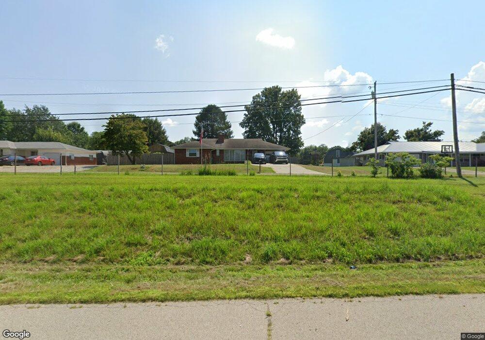
80 Emory Ln Little Hocking, OH 45742
Estimated Value: $196,000 - $268,000
3
Beds
2
Baths
1,554
Sq Ft
$145/Sq Ft
Est. Value
About This Home
This home is located at 80 Emory Ln, Little Hocking, OH 45742 and is currently estimated at $225,632, approximately $145 per square foot. 80 Emory Ln is a home located in Washington County with nearby schools including Warren High School.
Ownership History
Date
Name
Owned For
Owner Type
Purchase Details
Closed on
Dec 11, 2013
Sold by
Rose Arthur R and Rose Agnes Y
Bought by
Rose Jason A and Rose Jessica D
Current Estimated Value
Purchase Details
Closed on
Dec 13, 2006
Sold by
Swain Michael and Swain Eric
Bought by
Rose Arthur R and Rose Agnes Y
Purchase Details
Closed on
Nov 20, 2006
Sold by
Estate Of Jessie Doris Swain
Bought by
Swain Michael and Swain Eric
Purchase Details
Closed on
Mar 29, 1991
Bought by
Swain Jessie D
Purchase Details
Closed on
Jul 27, 1988
Purchase Details
Closed on
Jul 15, 1986
Create a Home Valuation Report for This Property
The Home Valuation Report is an in-depth analysis detailing your home's value as well as a comparison with similar homes in the area
Home Values in the Area
Average Home Value in this Area
Purchase History
| Date | Buyer | Sale Price | Title Company |
|---|---|---|---|
| Rose Jason A | -- | Attorney | |
| Rose Arthur R | $80,000 | Attorney | |
| Swain Michael | -- | None Available | |
| Swain Jessie D | -- | -- | |
| -- | -- | -- | |
| -- | -- | -- |
Source: Public Records
Tax History Compared to Growth
Tax History
| Year | Tax Paid | Tax Assessment Tax Assessment Total Assessment is a certain percentage of the fair market value that is determined by local assessors to be the total taxable value of land and additions on the property. | Land | Improvement |
|---|---|---|---|---|
| 2024 | $2,282 | $55,310 | $5,100 | $50,210 |
| 2023 | $229 | $55,310 | $5,100 | $50,210 |
| 2022 | $2,163 | $55,310 | $5,100 | $50,210 |
| 2021 | $1,572 | $38,190 | $3,840 | $34,350 |
| 2020 | $1,471 | $38,190 | $3,840 | $34,350 |
| 2019 | $1,450 | $38,190 | $3,840 | $34,350 |
| 2018 | $1,360 | $34,770 | $3,340 | $31,430 |
| 2017 | $1,352 | $34,770 | $3,340 | $31,430 |
| 2016 | $1,714 | $34,770 | $3,340 | $31,430 |
| 2015 | $1,039 | $29,900 | $3,010 | $26,890 |
| 2014 | $1,491 | $29,900 | $3,010 | $26,890 |
| 2013 | $521 | $29,900 | $3,010 | $26,890 |
Source: Public Records
Map
Nearby Homes
- 00 Orchard Dr
- 4278 Newbury Rd
- 0 T1309
- 000 Newbury Rd
- 0 Newberry Rd Unit 4279424
- 128 Haynes Rd
- 2853 Lake Washington Rd
- 1175 Collins Rd
- 1421 Hocking Rd
- 631 Short Brook Rd
- 1396 State Route 339
- 0 Houston Rd
- 0 Houston Rd
- 1462 State Route 339
- 29500 Houston Rd
- 200 Club Dr
- 257 Walnut Grove
- 119 Stonegate Dr
- 1948 State Route 339
- 5595 N Torch Rd