80 Laurel Ln New London, NH 03257
Estimated Value: $546,524 - $736,000
4
Beds
3
Baths
2,111
Sq Ft
$303/Sq Ft
Est. Value
About This Home
This home is located at 80 Laurel Ln, New London, NH 03257 and is currently estimated at $638,631, approximately $302 per square foot. 80 Laurel Ln is a home with nearby schools including Kearsarge Elementary School - New London, Kearsarge Regional Middle School, and Kearsarge Regional High School.
Ownership History
Date
Name
Owned For
Owner Type
Purchase Details
Closed on
Mar 14, 2016
Sold by
Almond David L and Almond Kathleen D
Bought by
Almond Ft Of 2016
Current Estimated Value
Purchase Details
Closed on
Nov 2, 2005
Sold by
Fyfe Paul C and Fyfe Inge
Bought by
Almond David L and Almond Kathleen D
Home Financials for this Owner
Home Financials are based on the most recent Mortgage that was taken out on this home.
Original Mortgage
$216,040
Interest Rate
5.85%
Mortgage Type
Purchase Money Mortgage
Create a Home Valuation Report for This Property
The Home Valuation Report is an in-depth analysis detailing your home's value as well as a comparison with similar homes in the area
Home Values in the Area
Average Home Value in this Area
Purchase History
| Date | Buyer | Sale Price | Title Company |
|---|---|---|---|
| Almond Ft Of 2016 | -- | -- | |
| Almond David L | $270,100 | -- | |
| Almond David L | $270,100 | -- |
Source: Public Records
Mortgage History
| Date | Status | Borrower | Loan Amount |
|---|---|---|---|
| Previous Owner | Almond David L | $216,040 |
Source: Public Records
Tax History Compared to Growth
Tax History
| Year | Tax Paid | Tax Assessment Tax Assessment Total Assessment is a certain percentage of the fair market value that is determined by local assessors to be the total taxable value of land and additions on the property. | Land | Improvement |
|---|---|---|---|---|
| 2024 | $4,829 | $415,900 | $161,300 | $254,600 |
| 2023 | $4,496 | $415,900 | $161,300 | $254,600 |
| 2022 | $4,155 | $262,000 | $76,000 | $186,000 |
| 2021 | $4,032 | $262,000 | $76,000 | $186,000 |
| 2020 | $3,914 | $262,000 | $76,000 | $186,000 |
| 2019 | $3,854 | $262,000 | $76,000 | $186,000 |
| 2018 | $3,758 | $239,200 | $73,300 | $165,900 |
| 2017 | $3,830 | $239,200 | $73,300 | $165,900 |
| 2016 | $3,748 | $239,200 | $73,300 | $165,900 |
| 2015 | $3,218 | $208,300 | $73,300 | $135,000 |
| 2014 | $3,189 | $208,300 | $73,300 | $135,000 |
| 2013 | $3,568 | $237,100 | $94,200 | $142,900 |
Source: Public Records
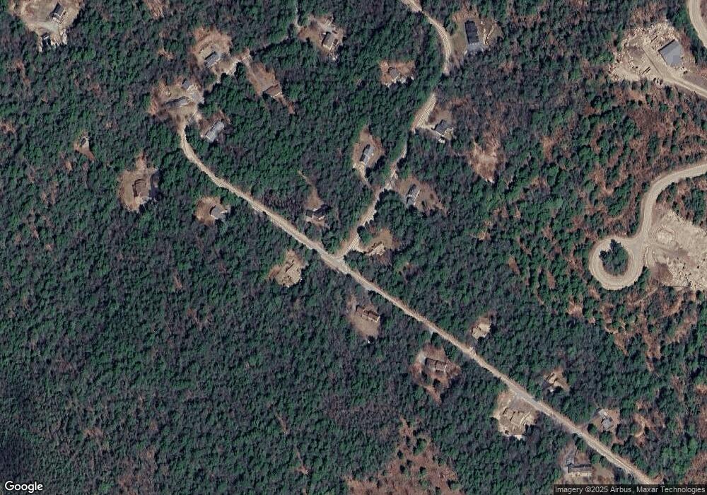
Map
Nearby Homes
- 24 Mountain Overlook
- 155 Wilder Ln
- 0 Quiet Cove Way Unit 5
- 000 Shaker Rd Unit 288
- 0 Fairway Ln Unit 8
- 295 Andover Rd
- 58 Kearsarge Rd
- Lot 8 Stone Bridge Rd
- 385 Seamans Rd
- 158 Quail Run
- 27 Pipers Glen
- 555 Shaker Rd
- Lot 16 Granite Hill Rd
- 221 Campground Rd
- 49 Pedrick Rd
- 133 Nh Route 4a
- 00 Mountainside Dr Unit 183
- 0 Howe Rd Unit 4996459
- 65 Barrett Rd
- 62 Patterson Rd