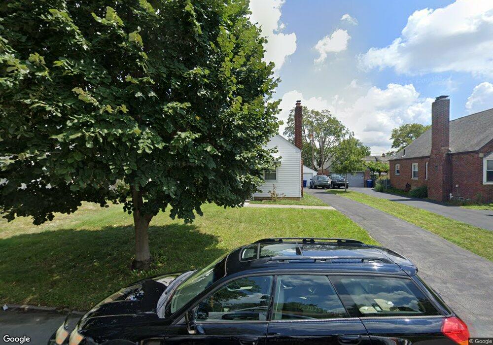
80 Letchworth Ave Columbus, OH 43204
Westgate NeighborhoodEstimated Value: $220,919 - $286,000
3
Beds
1
Bath
1,334
Sq Ft
$184/Sq Ft
Est. Value
About This Home
This home is located at 80 Letchworth Ave, Columbus, OH 43204 and is currently estimated at $245,230, approximately $183 per square foot. 80 Letchworth Ave is a home located in Franklin County with nearby schools including Westgate Alternative Elementary School, Westmoor Middle School, and West High School.
Ownership History
Date
Name
Owned For
Owner Type
Purchase Details
Closed on
Nov 22, 2005
Sold by
Crider Betty K and Crider Jack
Bought by
Dummer Jeffrey P and Shield Kathryn L
Current Estimated Value
Home Financials for this Owner
Home Financials are based on the most recent Mortgage that was taken out on this home.
Original Mortgage
$84,700
Outstanding Balance
$46,777
Interest Rate
6.17%
Mortgage Type
Fannie Mae Freddie Mac
Estimated Equity
$198,453
Purchase Details
Closed on
Mar 24, 1998
Sold by
Brown Faye
Bought by
Crider Betty K and Bartel Bonny L
Purchase Details
Closed on
Apr 18, 1990
Purchase Details
Closed on
Apr 1, 1987
Create a Home Valuation Report for This Property
The Home Valuation Report is an in-depth analysis detailing your home's value as well as a comparison with similar homes in the area
Home Values in the Area
Average Home Value in this Area
Purchase History
| Date | Buyer | Sale Price | Title Company |
|---|---|---|---|
| Dummer Jeffrey P | $105,000 | Valmer Land | |
| Crider Betty K | -- | Independent Title | |
| -- | -- | -- | |
| -- | $48,000 | -- |
Source: Public Records
Mortgage History
| Date | Status | Borrower | Loan Amount |
|---|---|---|---|
| Open | Dummer Jeffrey P | $84,700 |
Source: Public Records
Tax History Compared to Growth
Tax History
| Year | Tax Paid | Tax Assessment Tax Assessment Total Assessment is a certain percentage of the fair market value that is determined by local assessors to be the total taxable value of land and additions on the property. | Land | Improvement |
|---|---|---|---|---|
| 2024 | $3,270 | $72,870 | $21,630 | $51,240 |
| 2023 | $3,229 | $72,870 | $21,630 | $51,240 |
| 2022 | $2,489 | $47,990 | $8,160 | $39,830 |
| 2021 | $2,493 | $47,990 | $8,160 | $39,830 |
| 2020 | $2,497 | $47,990 | $8,160 | $39,830 |
| 2019 | $2,408 | $39,690 | $6,790 | $32,900 |
| 2018 | $2,206 | $39,690 | $6,790 | $32,900 |
| 2017 | $2,406 | $39,690 | $6,790 | $32,900 |
| 2016 | $2,213 | $33,400 | $7,740 | $25,660 |
| 2015 | $2,008 | $33,400 | $7,740 | $25,660 |
| 2014 | $2,013 | $33,400 | $7,740 | $25,660 |
| 2013 | $1,046 | $35,175 | $8,155 | $27,020 |
Source: Public Records
Map
Nearby Homes
- 79 S Southampton Ave
- 43 Letchworth Ave
- 30 Demorest Rd
- 195 S Sylvan Ave
- 32 Orel Ave
- 133 S Brinker Ave
- 36-38 Orel Ave
- 253 Powhatan Ave
- 3096 Ellis Place
- 66 N Brinker Ave
- 328 S Southampton Ave
- 160 N Sylvan Ave
- 113 N Brinker Ave Unit 115
- 0 S Brinker Ave
- 180 N Sylvan Ave
- 267 S Westgate Ave
- 56 Broadlawn Ave
- 119 N Westgate Ave
- 3100 Steele Ave
- 75 N Huron Ave
- 86 Letchworth Ave
- 72 Letchworth Ave
- 92 Letchworth Ave
- 66 Letchworth Ave
- 71 S Southampton Ave
- 98 Letchworth Ave
- 60 Letchworth Ave
- 91 S Southampton Ave
- 85 S Southampton Ave
- 85 Letchworth Ave
- 73 Letchworth Ave
- 65 S Southampton Ave
- 65 Letchworth Ave
- 91 Letchworth Ave
- 57 S Southampton Ave
- 52 Letchworth Ave
- 101 S Southampton Ave
- 97 Letchworth Ave
- 57 Letchworth Ave
- 110 Letchworth Ave