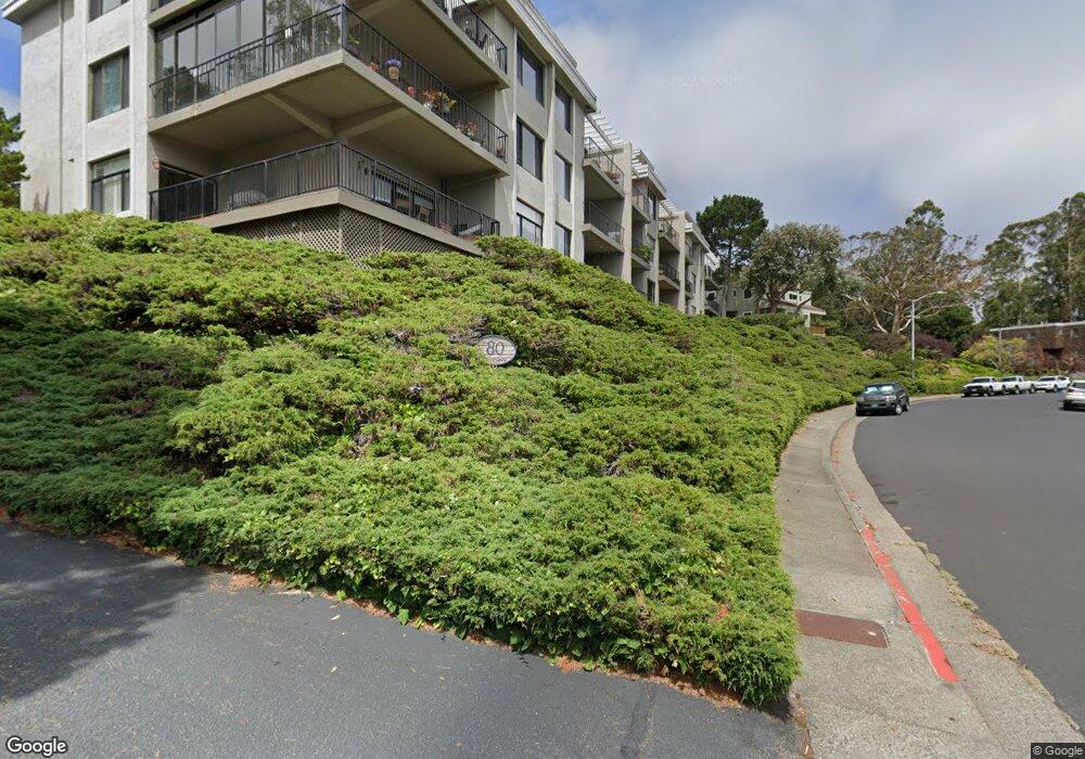
80 Lincoln Dr Sausalito, CA 94965
Estimated Value: $631,333 - $880,000
1
Bed
1
Bath
889
Sq Ft
$853/Sq Ft
Est. Value
About This Home
This home is located at 80 Lincoln Dr, Sausalito, CA 94965 and is currently estimated at $758,083, approximately $852 per square foot. 80 Lincoln Dr is a home located in Marin County with nearby schools including Dr. Martin Luther King, Jr. Academy - Nevada Campus, Tamalpais High School, and The New Village School.
Ownership History
Date
Name
Owned For
Owner Type
Purchase Details
Closed on
Jan 12, 2023
Sold by
Leighton Reginald Howard
Bought by
Reginald Howard Leighton Jr Revocable Trust
Current Estimated Value
Purchase Details
Closed on
Aug 20, 2002
Sold by
Leighton Reginald H
Bought by
Leighton Reginald Howard
Home Financials for this Owner
Home Financials are based on the most recent Mortgage that was taken out on this home.
Original Mortgage
$233,000
Interest Rate
5%
Create a Home Valuation Report for This Property
The Home Valuation Report is an in-depth analysis detailing your home's value as well as a comparison with similar homes in the area
Home Values in the Area
Average Home Value in this Area
Purchase History
| Date | Buyer | Sale Price | Title Company |
|---|---|---|---|
| Reginald Howard Leighton Jr Revocable Trust | -- | -- | |
| Leighton Reginald Howard | -- | Old Republic Title Company |
Source: Public Records
Mortgage History
| Date | Status | Borrower | Loan Amount |
|---|---|---|---|
| Previous Owner | Leighton Reginald Howard | $233,000 |
Source: Public Records
Tax History
| Year | Tax Paid | Tax Assessment Tax Assessment Total Assessment is a certain percentage of the fair market value that is determined by local assessors to be the total taxable value of land and additions on the property. | Land | Improvement |
|---|---|---|---|---|
| 2025 | $6,678 | $367,901 | $120,491 | $247,410 |
| 2024 | $6,283 | $360,689 | $118,129 | $242,560 |
| 2023 | $6,135 | $353,617 | $115,813 | $237,804 |
| 2022 | $5,913 | $346,685 | $113,542 | $233,143 |
| 2021 | $5,845 | $339,889 | $111,317 | $228,572 |
| 2020 | $5,727 | $336,406 | $110,176 | $226,230 |
| 2019 | $5,586 | $329,811 | $108,016 | $221,795 |
| 2018 | $5,164 | $323,345 | $105,898 | $217,447 |
| 2017 | $5,054 | $317,006 | $103,822 | $213,184 |
| 2016 | $4,846 | $310,791 | $101,787 | $209,004 |
| 2015 | $4,823 | $306,124 | $100,258 | $205,866 |
| 2014 | $4,664 | $300,127 | $98,294 | $201,833 |
Source: Public Records
Map
Nearby Homes
- 81 Anchorage Rd
- 119 Lincoln Dr
- 91 Stanford Way
- 116 Stanford Way Unit 24
- 367 Eden Roc Unit 49
- 369 Eden Roc Unit 47
- 38 S 40 Dock
- 12 S 40 Dock
- 13 S 40 Dock
- 16 Dutton Ct
- 68 Issaquah Dock
- 85 Park Cir
- 715 Drake Ave
- 23 Gate 6 1 2 Rd
- 123 Buckelew St
- 177 Cazneau Ave
- 204 Bay Vista Cir
- 155 Headlands Ct Unit 69
- 167 Headlands Ct
- 169 Headlands Ct Unit 79
- 80 Lincoln Dr Unit 3B
- 80 Lincoln Dr Unit 1C
- 80 Lincoln Dr
- 80 Lincoln Dr Unit 3C
- 80 Lincoln Dr
- 80 Lincoln Dr Unit 3A
- 80 Lincoln Dr Unit 2E
- 80 Lincoln Dr Unit 2D
- 80 Lincoln Dr Unit 2C
- 80 Lincoln Dr
- 80 Lincoln Dr Unit 2A
- 80 Lincoln Dr Unit 1E
- 80 Lincoln Dr Unit 1C
- 80 Lincoln Dr Unit 1B
- 80 Lincoln Dr Unit 1A
- 80 Lincoln Dr Unit 3E
- 78 Lincoln Dr
- 76 Lincoln Dr
- 86 Lincoln Dr
- 88 Lincoln Dr Unit 88
Your Personal Tour Guide
Ask me questions while you tour the home.