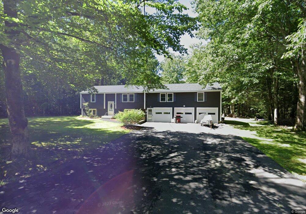
80 Linscott Rd North Berwick, ME 03906
Estimated Value: $435,000 - $497,000
3
Beds
2
Baths
1,888
Sq Ft
$252/Sq Ft
Est. Value
About This Home
This home is located at 80 Linscott Rd, North Berwick, ME 03906 and is currently estimated at $476,122, approximately $252 per square foot. 80 Linscott Rd is a home located in York County with nearby schools including Noble High School.
Ownership History
Date
Name
Owned For
Owner Type
Purchase Details
Closed on
Jul 9, 2007
Sold by
Kaszynski Lissa and Kaszynski Stanley A
Bought by
Bradley Douglas and Bradley Sandra J
Current Estimated Value
Home Financials for this Owner
Home Financials are based on the most recent Mortgage that was taken out on this home.
Original Mortgage
$236,700
Outstanding Balance
$170,004
Interest Rate
9.6%
Mortgage Type
Adjustable Rate Mortgage/ARM
Estimated Equity
$306,118
Create a Home Valuation Report for This Property
The Home Valuation Report is an in-depth analysis detailing your home's value as well as a comparison with similar homes in the area
Home Values in the Area
Average Home Value in this Area
Purchase History
| Date | Buyer | Sale Price | Title Company |
|---|---|---|---|
| Bradley Douglas | -- | -- |
Source: Public Records
Mortgage History
| Date | Status | Borrower | Loan Amount |
|---|---|---|---|
| Open | Bradley Douglas | $236,700 |
Source: Public Records
Tax History
| Year | Tax Paid | Tax Assessment Tax Assessment Total Assessment is a certain percentage of the fair market value that is determined by local assessors to be the total taxable value of land and additions on the property. | Land | Improvement |
|---|---|---|---|---|
| 2024 | $3,755 | $375,500 | $123,500 | $252,000 |
| 2023 | $3,444 | $320,400 | $99,300 | $221,100 |
| 2022 | $3,190 | $286,100 | $95,000 | $191,100 |
| 2021 | $3,086 | $283,100 | $95,000 | $188,100 |
| 2020 | $3,052 | $256,500 | $85,900 | $170,600 |
| 2019 | $3,022 | $244,700 | $82,300 | $162,400 |
| 2018 | $2,976 | $230,700 | $82,300 | $148,400 |
| 2017 | $2,907 | $230,700 | $82,300 | $148,400 |
| 2016 | $2,907 | $230,700 | $82,300 | $148,400 |
| 2015 | $2,907 | $230,700 | $82,300 | $148,400 |
| 2013 | $2,872 | $230,700 | $82,300 | $148,400 |
Source: Public Records
Map
Nearby Homes
- 54 Lower Main St
- 17 Market St
- 38 High St
- 67 Maple Street Lot A
- 74 Maple St
- Lot #5 Adams Bridge Rd
- 30 Riverview Dr Unit D
- Lot 13 Laney Ln
- TBD Buffum Rd
- Lot 11 Laney Ln
- 561 Perry Oliver Rd
- 0016/001 Newhall Rd
- 86 Moose Bog Ln
- 43 Michaels Rd
- 4 Legend Trail
- lot 6 Bragdon Rd
- 71-5 Bennett Lot Rd
- 238 Merriland Ridge Rd
- 296 N Berwick Rd
- 9 Jennifer Ln Unit 3
- 70 Linscott Rd
- 94 Linscott Rd
- 52 Linscott Rd
- 81 Linscott Rd
- 88 Linscott Rd
- 100 Linscott Rd
- 85 Linscott Rd
- 72 Linscott Rd
- 106 Linscott Rd
- 101 Linscott Rd
- 99 Linscott Rd
- 252 Wells St
- 41 Linscott Rd
- 264 Wells St
- 234 Wells St
- 224 Wells St
- 114 Linscott Rd
- 116 Linscott Rd
- 230 Wells Street (Route 9)
- 218 Wells St