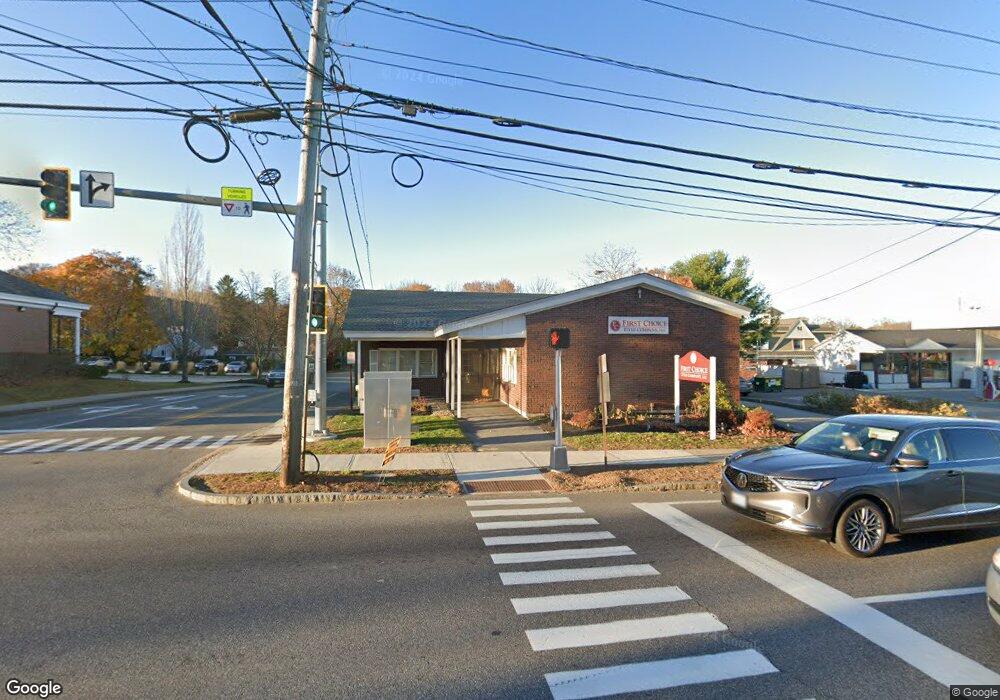
80 Main St Gorham, ME 04038
Estimated Value: $697,086
Studio
--
Bath
1,965
Sq Ft
$355/Sq Ft
Est. Value
About This Home
This home is located at 80 Main St, Gorham, ME 04038 and is currently estimated at $697,086, approximately $354 per square foot. 80 Main St is a home located in Cumberland County with nearby schools including Village Elementary School, Gorham Middle School, and Gorham High School.
Ownership History
Date
Name
Owned For
Owner Type
Purchase Details
Closed on
Sep 18, 2025
Sold by
K P Gagnon Company Llc
Bought by
80 Main Llc
Current Estimated Value
Home Financials for this Owner
Home Financials are based on the most recent Mortgage that was taken out on this home.
Original Mortgage
$330,000
Outstanding Balance
$329,123
Interest Rate
6.63%
Mortgage Type
Commercial
Estimated Equity
$367,963
Purchase Details
Closed on
May 1, 2006
Sold by
Gorham Savings Bank
Bought by
Kp Gagnon Co Llc
Create a Home Valuation Report for This Property
The Home Valuation Report is an in-depth analysis detailing your home's value as well as a comparison with similar homes in the area
Home Values in the Area
Average Home Value in this Area
Purchase History
| Date | Buyer | Sale Price | Title Company |
|---|---|---|---|
| 80 Main Llc | $695,000 | -- | |
| Kp Gagnon Co Llc | -- | -- | |
| Kp Gagnon Co Llc | -- | -- |
Source: Public Records
Mortgage History
| Date | Status | Borrower | Loan Amount |
|---|---|---|---|
| Open | 80 Main Llc | $330,000 |
Source: Public Records
Tax History
| Year | Tax Paid | Tax Assessment Tax Assessment Total Assessment is a certain percentage of the fair market value that is determined by local assessors to be the total taxable value of land and additions on the property. | Land | Improvement |
|---|---|---|---|---|
| 2024 | $6,594 | $448,600 | $230,600 | $218,000 |
| 2023 | $6,168 | $448,600 | $230,600 | $218,000 |
| 2022 | $5,765 | $448,600 | $230,600 | $218,000 |
| 2021 | $7,046 | $363,200 | $175,100 | $188,100 |
| 2020 | $6,901 | $363,200 | $175,100 | $188,100 |
| 2019 | $6,883 | $363,200 | $175,100 | $188,100 |
| 2018 | $6,610 | $363,200 | $175,100 | $188,100 |
| 2017 | $6,211 | $363,200 | $175,100 | $188,100 |
| 2016 | $6,176 | $363,300 | $175,200 | $188,100 |
| 2015 | $5,721 | $351,000 | $175,200 | $175,800 |
| 2014 | $6,294 | $361,700 | $194,700 | $167,000 |
| 2013 | $6,257 | $361,700 | $194,700 | $167,000 |
Source: Public Records
Map
Nearby Homes
- 49 Lochwood Dr
- 8 Western Ave
- 91 South St
- TBD Lochwood Dr
- 13 Lochwood Dr
- 50 Johnson Rd
- 17 Lochwood Dr
- 52 Morrill Ave
- 127 Falcon Crest Dr Unit 4
- 33 Baxter Ln Unit 9
- 195 Falcon Crest Dr Unit 34
- 193 Falcon Crest Dr Unit 33
- 191 Falcon Crest Dr Unit 32
- 189 Falcon Crest Dr Unit 31
- 187 Falcon Crest Dr Unit 30
- 185 Falcon Crest Dr Unit 29
- 194 Falcon Crest Dr Unit 60
- 192 Falcon Crest Dr Unit 59
- 188 Falcon Crest Dr Unit 58
- 186 Falcon Crest Dr Unit 57