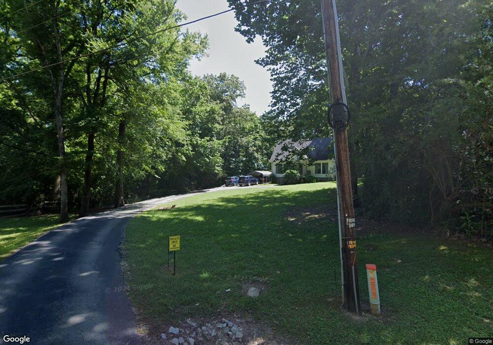
80 Maple Ln Henderson, TN 38340
Estimated Value: $155,646 - $222,000
Studio
2
Baths
1,246
Sq Ft
$149/Sq Ft
Est. Value
About This Home
This home is located at 80 Maple Ln, Henderson, TN 38340 and is currently estimated at $185,162, approximately $148 per square foot. 80 Maple Ln is a home located in Chester County with nearby schools including Chester County High School and Miracle Temple Christian Academy.
Ownership History
Date
Name
Owned For
Owner Type
Purchase Details
Closed on
Dec 19, 2006
Sold by
Maness Steve
Bought by
Alper William A
Current Estimated Value
Home Financials for this Owner
Home Financials are based on the most recent Mortgage that was taken out on this home.
Original Mortgage
$70,300
Outstanding Balance
$43,380
Interest Rate
6.1%
Estimated Equity
$141,782
Purchase Details
Closed on
Mar 24, 1999
Sold by
Lynch Donald G
Bought by
Maness Kathryn and Maness Steve
Purchase Details
Closed on
Jul 22, 1997
Sold by
Dowdy Jerry
Bought by
Lynch Donald G
Create a Home Valuation Report for This Property
The Home Valuation Report is an in-depth analysis detailing your home's value as well as a comparison with similar homes in the area
Home Values in the Area
Average Home Value in this Area
Purchase History
| Date | Buyer | Sale Price | Title Company |
|---|---|---|---|
| Alper William A | $80,300 | -- | |
| Maness Kathryn | $75,000 | -- | |
| Lynch Donald G | $5,500 | -- |
Source: Public Records
Mortgage History
| Date | Status | Borrower | Loan Amount |
|---|---|---|---|
| Open | Lynch Donald G | $70,300 |
Source: Public Records
Tax History
| Year | Tax Paid | Tax Assessment Tax Assessment Total Assessment is a certain percentage of the fair market value that is determined by local assessors to be the total taxable value of land and additions on the property. | Land | Improvement |
|---|---|---|---|---|
| 2025 | $656 | $32,200 | $0 | $0 |
| 2024 | $567 | $22,075 | $0 | $0 |
| 2023 | $549 | $22,075 | $0 | $0 |
| 2022 | $534 | $22,075 | $0 | $0 |
| 2021 | $541 | $18,375 | $0 | $0 |
| 2020 | $457 | $18,375 | $0 | $0 |
| 2019 | $457 | $18,375 | $0 | $0 |
| 2018 | $463 | $18,625 | $0 | $0 |
| 2017 | $463 | $18,625 | $0 | $0 |
| 2014 | $483 | $19,161 | $0 | $0 |
Source: Public Records
Map
Nearby Homes
- 341 Melodie Cir
- 0 Garland Rd
- 934 Sand Ave
- 614 Oneal Ln
- 90 Mitchell Ln
- 795 Hill Ave
- 836 Hill Ave
- 0 Sanford Rd
- 533 North Ave
- 200 Westwood Cove
- 308 Meadow Brook Dr
- 316 Meadow Brook Dr
- 757 Christi Loop
- 1980 Sanford Rd
- 328 Baughn St
- 0 Hill Ave
- 135 W Third St
- 524 Hill Ave
- 707 Mifflin Avenue Extension
- 0 Sheila Dr
- 60 Maple Ln
- 40 Maple Ln
- 75 Maple Ln
- 55 Maple Ln
- 860 Old Jackson Rd
- 910 Old Jackson Rd
- 930 Old Jackson Rd
- 930 Old Jackson Rd
- 825 Old Jackson Rd
- 1080 Old Jackson Rd
- 160 Barclay Loop
- 135 Barclay Loop
- 1035 Old Jackson Rd
- 1110 Old Jackson Rd
- 20 Melodie Cir
- 170 Barclay Loop
- 70 Melodie Cir
- 190 Barclay Loop
- 1145 Old Jackson Rd
- 110 Melodie Cir
Your Personal Tour Guide
Ask me questions while you tour the home.