80 Maplewood Dr Rindge, NH 03461
Estimated Value: $1,231,000 - $2,547,000
5
Beds
7
Baths
6,800
Sq Ft
$289/Sq Ft
Est. Value
About This Home
This home is located at 80 Maplewood Dr, Rindge, NH 03461 and is currently estimated at $1,963,171, approximately $288 per square foot. 80 Maplewood Dr is a home located in Cheshire County with nearby schools including Rindge Memorial School, Conant Middle High School, and Conant High School.
Ownership History
Date
Name
Owned For
Owner Type
Purchase Details
Closed on
Nov 13, 2017
Sold by
Merrell Nathaniel J
Bought by
Merrell Jennifer R
Current Estimated Value
Purchase Details
Closed on
Jul 21, 2017
Sold by
Couture Brian
Bought by
Merrell Nathaniel J and Merell Jennifer E
Home Financials for this Owner
Home Financials are based on the most recent Mortgage that was taken out on this home.
Original Mortgage
$424,000
Interest Rate
3.89%
Mortgage Type
Purchase Money Mortgage
Purchase Details
Closed on
Nov 20, 2013
Sold by
Becker Bradford R and Becker Wendy
Bought by
Couture Brian
Purchase Details
Closed on
Jun 30, 2010
Sold by
Olson Matthew N and Olson Deanna F
Bought by
Couture Brian
Create a Home Valuation Report for This Property
The Home Valuation Report is an in-depth analysis detailing your home's value as well as a comparison with similar homes in the area
Home Values in the Area
Average Home Value in this Area
Purchase History
| Date | Buyer | Sale Price | Title Company |
|---|---|---|---|
| Merrell Jennifer R | -- | -- | |
| Merrell Jennifer R | -- | -- | |
| Merrell Nathaniel J | $1,100,000 | -- | |
| Merrell Nathaniel J | $1,100,000 | -- | |
| Couture Brian | $375,000 | -- | |
| Couture Brian | $375,000 | -- | |
| Couture Brian | $1,175,000 | -- | |
| Couture Brian | $1,175,000 | -- |
Source: Public Records
Mortgage History
| Date | Status | Borrower | Loan Amount |
|---|---|---|---|
| Previous Owner | Merrell Nathaniel J | $424,000 | |
| Previous Owner | Couture Brian | $600,000 | |
| Previous Owner | Couture Brian | $250,000 |
Source: Public Records
Tax History Compared to Growth
Tax History
| Year | Tax Paid | Tax Assessment Tax Assessment Total Assessment is a certain percentage of the fair market value that is determined by local assessors to be the total taxable value of land and additions on the property. | Land | Improvement |
|---|---|---|---|---|
| 2024 | $31,693 | $1,252,186 | $105,186 | $1,147,000 |
| 2023 | $31,419 | $1,254,747 | $108,547 | $1,146,200 |
| 2022 | $28,897 | $1,254,747 | $108,547 | $1,146,200 |
| 2021 | $28,420 | $1,254,747 | $108,547 | $1,146,200 |
| 2020 | $6,111 | $1,255,711 | $109,511 | $1,146,200 |
| 2019 | $30,716 | $1,106,492 | $96,083 | $1,010,409 |
| 2018 | $30,479 | $1,108,328 | $97,919 | $1,010,409 |
| 2017 | $31,279 | $1,150,391 | $96,591 | $1,053,800 |
| 2016 | $75 | $1,159,338 | $105,538 | $1,053,800 |
| 2015 | $32,287 | $1,157,645 | $103,845 | $1,053,800 |
| 2014 | $26,630 | $1,023,045 | $146,245 | $876,800 |
| 2013 | $26,089 | $1,024,698 | $147,398 | $877,300 |
Source: Public Records
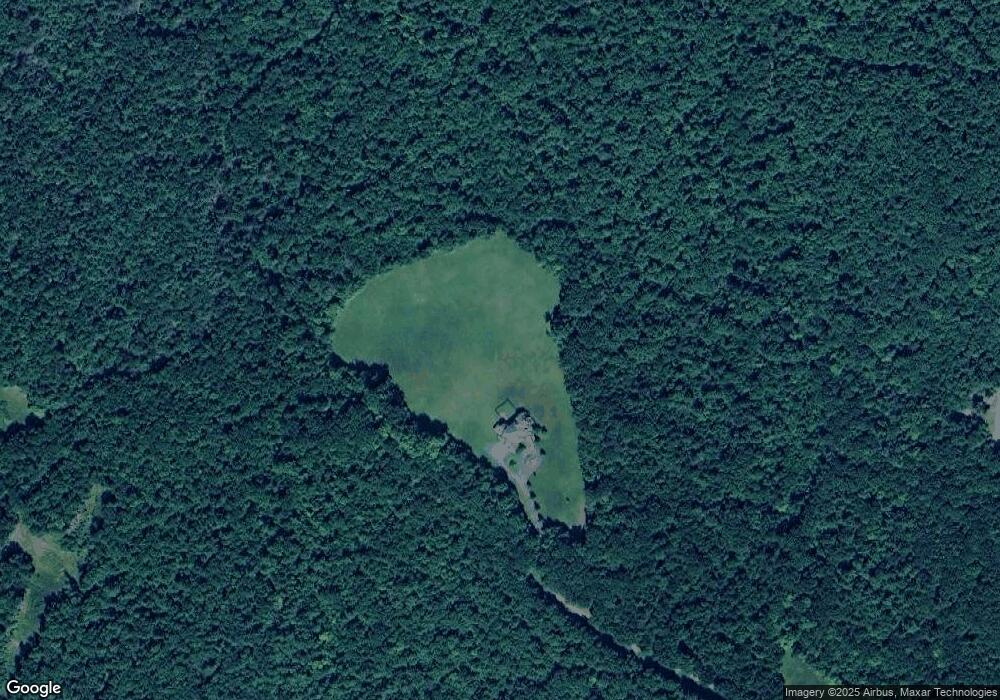
Map
Nearby Homes
- 64 Old Ashburnham Rd
- 30 Cattail Cir
- 46 Swan Point Rd
- 145 Monomonac Rd E
- 125 2nd St
- 28 Wellington Rd
- 10 Sun Cliff Dr
- 15 2nd St
- 16 2nd St
- 19 Monomonac Terrace
- 35 Hillside Dr
- 336 Main St
- 307 Main St
- 243 Main St
- 199 Tuckerman Rd
- 119 W Shore Dr
- 286 Old New Ipswich Rd
- 110 Red Gate Ln
- 0 Monomonac Rd W
- 34 Maple Dr
- 80 Maplewood Dr
- 114 Old Ashburnham Rd
- 24 Maplewood Dr
- 33 Weatherbee Hill Rd
- 34 Weatherbee Hill Rd
- 134 Old Ashburnham Rd
- 0 Old Ashburnham Rd
- 153 Old Ashburnham Rd
- 125 Old Ashburnham Rd
- 147 Old Ashburnham Rd
- 97 Old Ashburnham Rd
- 159 Old Ashburnham Rd
- 61 E Monomonac Rd
- 71 Old Ashburnham Rd
- 435 Nh Route 119
- 80 Old Ashburnham Rd
- 63 Old Ashburnham Rd
- 180 Old Ashburnham Rd
- 180 Old Ashburnham Rd
- 180 Old Ashburnham Rd Unit 1