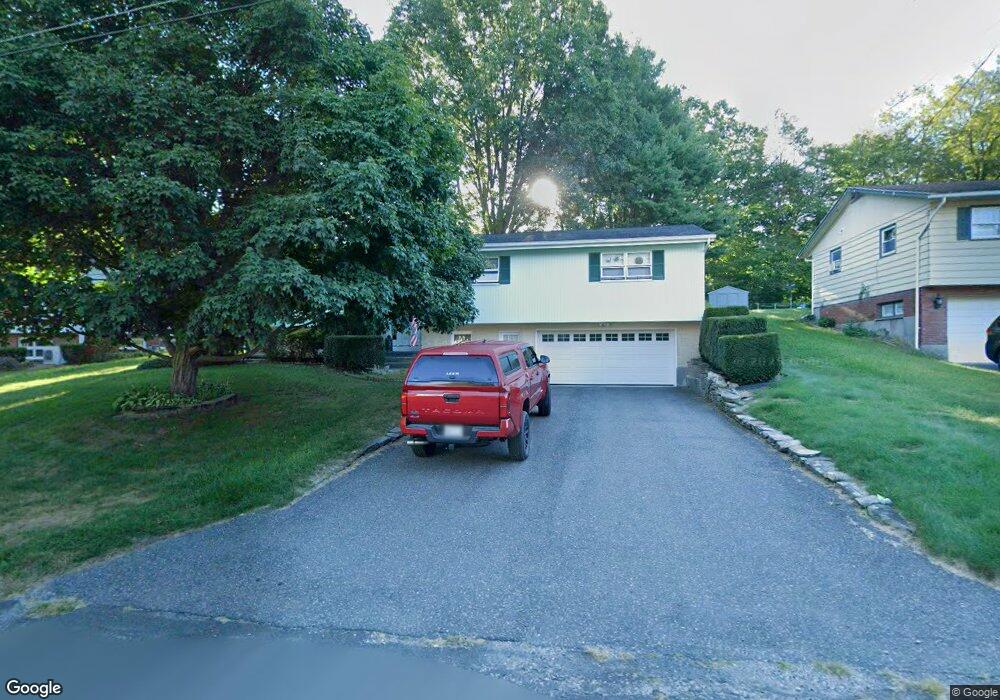
80 Michael Dr Pittsfield, MA 01201
Estimated Value: $385,842 - $411,000
4
Beds
3
Baths
1,789
Sq Ft
$224/Sq Ft
Est. Value
About This Home
This home is located at 80 Michael Dr, Pittsfield, MA 01201 and is currently estimated at $400,711, approximately $223 per square foot. 80 Michael Dr is a home located in Berkshire County with nearby schools including Allendale Elementary School, John T. Reid Middle School, and Pittsfield High School.
Ownership History
Date
Name
Owned For
Owner Type
Purchase Details
Closed on
Apr 2, 1997
Sold by
Fry K Eugene and Fry Shirley S
Bought by
Demartino John and Demartino Joan M
Current Estimated Value
Home Financials for this Owner
Home Financials are based on the most recent Mortgage that was taken out on this home.
Original Mortgage
$122,500
Outstanding Balance
$15,300
Interest Rate
7.5%
Mortgage Type
Purchase Money Mortgage
Estimated Equity
$385,411
Create a Home Valuation Report for This Property
The Home Valuation Report is an in-depth analysis detailing your home's value as well as a comparison with similar homes in the area
Home Values in the Area
Average Home Value in this Area
Purchase History
| Date | Buyer | Sale Price | Title Company |
|---|---|---|---|
| Demartino John | $147,000 | -- | |
| Demartino John | $147,000 | -- |
Source: Public Records
Mortgage History
| Date | Status | Borrower | Loan Amount |
|---|---|---|---|
| Open | Demartino John | $122,500 | |
| Closed | Demartino John | $122,500 |
Source: Public Records
Tax History Compared to Growth
Tax History
| Year | Tax Paid | Tax Assessment Tax Assessment Total Assessment is a certain percentage of the fair market value that is determined by local assessors to be the total taxable value of land and additions on the property. | Land | Improvement |
|---|---|---|---|---|
| 2025 | $6,925 | $386,000 | $70,300 | $315,700 |
| 2024 | $6,255 | $339,000 | $70,300 | $268,700 |
| 2023 | $5,824 | $317,900 | $70,300 | $247,600 |
| 2022 | $5,301 | $285,600 | $70,300 | $215,300 |
| 2021 | $4,911 | $255,100 | $70,300 | $184,800 |
| 2020 | $4,705 | $238,700 | $60,300 | $178,400 |
| 2019 | $4,434 | $228,300 | $58,300 | $170,000 |
| 2018 | $4,444 | $222,100 | $58,300 | $163,800 |
| 2017 | $4,183 | $213,100 | $55,300 | $157,800 |
| 2016 | $4,045 | $215,600 | $55,300 | $160,300 |
| 2015 | $3,894 | $215,600 | $55,300 | $160,300 |
Source: Public Records
Map
Nearby Homes
- 17 Kittredge Rd
- 144 Kittredge Rd
- 82 Williamsburg Terrace
- 72 Meadowview Dr
- 0 Cheshire Rd
- 45 Patricia Ave
- 98 Oak Hill Rd
- 127 Oak Hill Rd
- 215 Partridge Rd
- 0 Crane Ave
- 67 Gulf Rd
- 9 Crane Ave
- 330 Connecticut Ave
- 25 Kensington Ave
- 38 Allengate Ave
- 196 Park Ave
- 41 Oak St
- 29 John St
- 326 Dalton Ave
- 1 Pondview Dr Unit C3