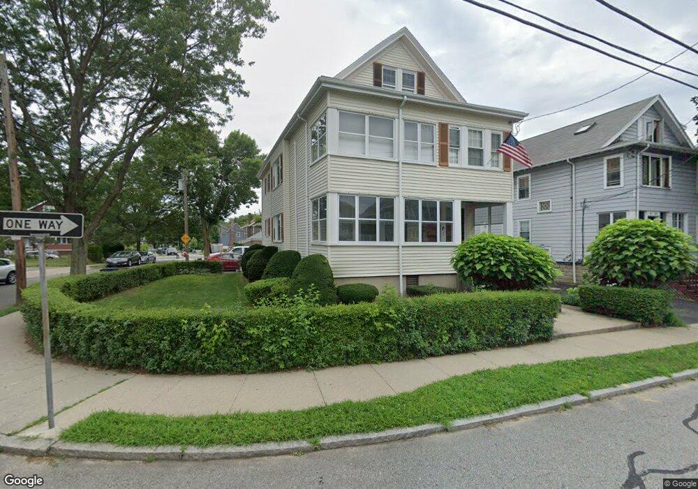
80 Milton St Unit 82 Arlington, MA 02474
East Arlington NeighborhoodEstimated Value: $1,190,000 - $1,359,418
4
Beds
2
Baths
2,569
Sq Ft
$487/Sq Ft
Est. Value
About This Home
This home is located at 80 Milton St Unit 82, Arlington, MA 02474 and is currently estimated at $1,251,605, approximately $487 per square foot. 80 Milton St Unit 82 is a home located in Middlesex County with nearby schools including Hardy Elementary School, Ottoson Middle School, and Arlington High School.
Ownership History
Date
Name
Owned For
Owner Type
Purchase Details
Closed on
Oct 12, 2010
Sold by
Costa Patricia A
Bought by
Costa Ft and Costa
Current Estimated Value
Purchase Details
Closed on
Aug 12, 1975
Bought by
Costa Ft
Create a Home Valuation Report for This Property
The Home Valuation Report is an in-depth analysis detailing your home's value as well as a comparison with similar homes in the area
Home Values in the Area
Average Home Value in this Area
Purchase History
| Date | Buyer | Sale Price | Title Company |
|---|---|---|---|
| Costa Ft | -- | -- | |
| Costa Ft | $52,000 | -- |
Source: Public Records
Mortgage History
| Date | Status | Borrower | Loan Amount |
|---|---|---|---|
| Previous Owner | Costa Ft | $100,000 | |
| Previous Owner | Costa Ft | $100,000 | |
| Previous Owner | Costa Ft | $75,000 | |
| Previous Owner | Costa Ft | $47,000 |
Source: Public Records
Tax History Compared to Growth
Tax History
| Year | Tax Paid | Tax Assessment Tax Assessment Total Assessment is a certain percentage of the fair market value that is determined by local assessors to be the total taxable value of land and additions on the property. | Land | Improvement |
|---|---|---|---|---|
| 2025 | $11,836 | $1,099,000 | $590,500 | $508,500 |
| 2024 | $10,946 | $1,033,600 | $562,100 | $471,500 |
| 2023 | $10,960 | $977,700 | $471,300 | $506,400 |
| 2022 | $10,918 | $956,000 | $454,200 | $501,800 |
| 2021 | $10,585 | $933,400 | $454,200 | $479,200 |
| 2020 | $10,327 | $933,700 | $454,200 | $479,500 |
| 2019 | $9,632 | $855,400 | $482,600 | $372,800 |
| 2018 | $8,792 | $724,800 | $352,000 | $372,800 |
| 2017 | $8,526 | $678,800 | $306,600 | $372,200 |
| 2016 | $8,108 | $633,400 | $261,200 | $372,200 |
| 2015 | $7,961 | $587,500 | $255,500 | $332,000 |
Source: Public Records
Map
Nearby Homes
- 128 Thorndike St Unit 2
- 137-139 Thorndike St Unit 2
- 215 Massachusetts Ave Unit 19 (34)
- 3 Seagrave Rd
- 230 Massachusetts Ave Unit 6
- 31 Mott St Unit 31A
- 22 Hamilton Rd Unit 206
- 23 Brookford St
- 23 Brookford St Unit 2
- 23 Brookford St Unit 1
- 19 Cottage Park Ave
- 34 Hamilton Rd Unit 302
- 18 Belknap St Unit 2
- 18 Belknap St Unit 1
- 57 Garrison Ave
- 112 Jackson St
- 127 Harvey St
- 127 Harvey St Unit 127
- 124 Jackson St
- 49 Clifton St
- 84 Milton St Unit 86
- 85 Varnum St Unit 2
- 85 Varnum St Unit 1
- 85 Varnum St Unit 85-1
- 72 Milton St Unit 74
- 88 Milton St Unit 90
- 88 Milton St Unit 88-2 Milton Street
- 88 Milton St Unit 2
- 88 Milton St Unit 88 Milton Street
- 88 Milton St Unit 1
- 88 Milton St
- 90 Milton St
- 87 Varnum St Unit 2
- 87 Varnum St Unit 87-1
- 78 Herbert Rd Unit 80
- 89 Varnum St Unit 91
- 80 Herbert Rd
- 80 Herbert Rd Unit 2
- 85 Milton St Unit 87
- 85 Milton St Unit 2