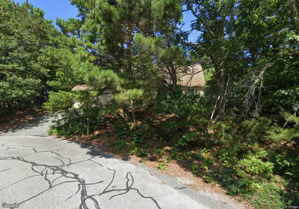
80 Oak Ln Unit 1000 Brewster, MA 02631
Estimated Value: $707,000 - $757,000
3
Beds
2
Baths
1,236
Sq Ft
$591/Sq Ft
Est. Value
About This Home
This home is located at 80 Oak Ln Unit 1000, Brewster, MA 02631 and is currently estimated at $730,599, approximately $591 per square foot. 80 Oak Ln Unit 1000 is a home located in Barnstable County with nearby schools including Stony Brook Elementary School, Eddy Elementary School, and Nauset Regional Middle School.
Ownership History
Date
Name
Owned For
Owner Type
Purchase Details
Closed on
Jun 26, 2015
Sold by
80 1000 Oaks Drive Rt
Bought by
Bergstrom Dana P and Mulhern Megan A
Current Estimated Value
Home Financials for this Owner
Home Financials are based on the most recent Mortgage that was taken out on this home.
Original Mortgage
$318,376
Interest Rate
3.84%
Mortgage Type
FHA
Purchase Details
Closed on
Sep 13, 2013
Sold by
Settino Paula A Est
Bought by
80 Thousand Oaks Drive
Create a Home Valuation Report for This Property
The Home Valuation Report is an in-depth analysis detailing your home's value as well as a comparison with similar homes in the area
Home Values in the Area
Average Home Value in this Area
Purchase History
| Date | Buyer | Sale Price | Title Company |
|---|---|---|---|
| Bergstrom Dana P | $324,250 | -- | |
| 80 Thousand Oaks Drive | -- | -- | |
| 80 Thousand Oaks Drive | -- | -- |
Source: Public Records
Mortgage History
| Date | Status | Borrower | Loan Amount |
|---|---|---|---|
| Closed | Bergstrom Dana P | $318,376 |
Source: Public Records
Tax History Compared to Growth
Tax History
| Year | Tax Paid | Tax Assessment Tax Assessment Total Assessment is a certain percentage of the fair market value that is determined by local assessors to be the total taxable value of land and additions on the property. | Land | Improvement |
|---|---|---|---|---|
| 2025 | $3,796 | $551,800 | $249,800 | $302,000 |
| 2024 | $3,547 | $520,900 | $235,600 | $285,300 |
| 2023 | $3,278 | $468,900 | $210,300 | $258,600 |
| 2022 | $3,256 | $414,800 | $175,200 | $239,600 |
| 2021 | $3,131 | $364,900 | $152,300 | $212,600 |
| 2020 | $2,547 | $355,100 | $152,300 | $202,800 |
| 2019 | $5,050 | $334,600 | $146,500 | $188,100 |
| 2018 | $2,703 | $327,300 | $146,500 | $180,800 |
| 2017 | $2,568 | $306,100 | $146,500 | $159,600 |
| 2016 | $2,532 | $300,300 | $143,700 | $156,600 |
| 2015 | -- | $295,800 | $140,800 | $155,000 |
Source: Public Records
Map
Nearby Homes
- 43 Owl Pond Rd
- 3937 Main St
- 62 Eldridge Rd
- 12 Skaket Way
- 166 Highland Moors Dr
- 153 Red Fawn Rd
- 0 Partridge
- 261 Linnell Landing Rd Unit 4
- 261 Linnell Landing Rd Unit 2
- 261 Linnell Landing Rd Unit 1
- 45 West Rd Unit 1E
- 24 West Rd
- 8 Hofe Rd
- 18 West Rd Unit 311
- 18 West Rd Unit 315
- 18 West Rd Unit 212
- 190 Blueberry Pond Dr
- 23 Nickerson Rd
- 24 Old Tote Rd
- 410 Blueberry Pond Dr