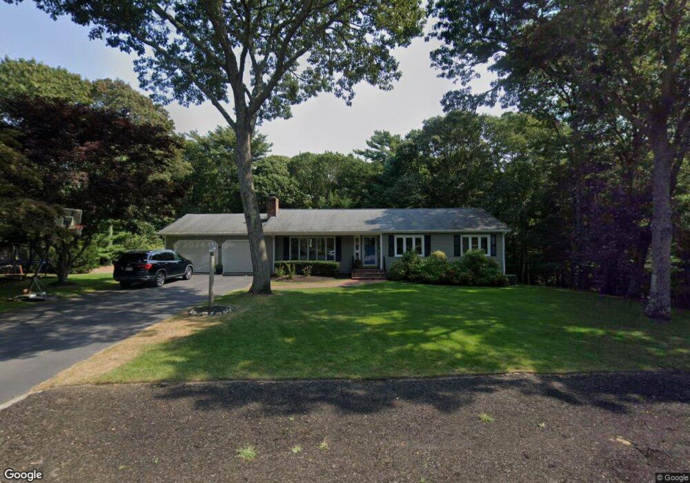
80 Overlook Dr Centerville, MA 02632
Centerville NeighborhoodEstimated Value: $696,869 - $808,000
3
Beds
3
Baths
1,378
Sq Ft
$530/Sq Ft
Est. Value
About This Home
This home is located at 80 Overlook Dr, Centerville, MA 02632 and is currently estimated at $729,967, approximately $529 per square foot. 80 Overlook Dr is a home located in Barnstable County with nearby schools including Centerville Elementary School, Barnstable United Elementary School, and Barnstable Intermediate School.
Ownership History
Date
Name
Owned For
Owner Type
Purchase Details
Closed on
Mar 23, 2021
Sold by
Sturgis Sarah J
Bought by
Overlook T
Current Estimated Value
Purchase Details
Closed on
Apr 28, 2005
Sold by
Kontautiene Julijona
Bought by
Sturgis Jason E
Home Financials for this Owner
Home Financials are based on the most recent Mortgage that was taken out on this home.
Original Mortgage
$302,400
Interest Rate
5.95%
Mortgage Type
Purchase Money Mortgage
Create a Home Valuation Report for This Property
The Home Valuation Report is an in-depth analysis detailing your home's value as well as a comparison with similar homes in the area
Home Values in the Area
Average Home Value in this Area
Purchase History
| Date | Buyer | Sale Price | Title Company |
|---|---|---|---|
| Overlook T | -- | None Available | |
| Sturgis Jason E | $420,000 | -- |
Source: Public Records
Mortgage History
| Date | Status | Borrower | Loan Amount |
|---|---|---|---|
| Previous Owner | Sturgis Jason E | $302,400 | |
| Previous Owner | Sturgis Jason E | $75,600 |
Source: Public Records
Tax History Compared to Growth
Tax History
| Year | Tax Paid | Tax Assessment Tax Assessment Total Assessment is a certain percentage of the fair market value that is determined by local assessors to be the total taxable value of land and additions on the property. | Land | Improvement |
|---|---|---|---|---|
| 2025 | $5,100 | $630,400 | $232,800 | $397,600 |
| 2024 | $4,898 | $627,200 | $232,800 | $394,400 |
| 2023 | $4,622 | $554,200 | $211,600 | $342,600 |
| 2022 | $4,283 | $444,300 | $145,500 | $298,800 |
| 2021 | $4,172 | $397,700 | $147,800 | $249,900 |
| 2020 | $4,271 | $389,700 | $147,800 | $241,900 |
| 2019 | $4,219 | $374,000 | $156,700 | $217,300 |
| 2018 | $4,066 | $362,400 | $182,700 | $179,700 |
| 2017 | $3,812 | $354,300 | $182,700 | $171,600 |
| 2016 | $3,822 | $350,600 | $179,000 | $171,600 |
| 2015 | $3,729 | $343,700 | $180,900 | $162,800 |
Source: Public Records
Map
Nearby Homes
- 53 Meadow Farm Rd
- 52 Meadow Farm Rd
- 149 Old Stage Rd
- 12 S Cedar Rd
- 627 S Main St
- 627 S Main St
- 200 Lumbert Mill Rd
- 156 S Main St
- 818 S Main St
- 16 Bridgets Path
- 30 Deerfield Rd
- 40 Sachem Dr
- 1060 Craigville Beach Rd
- 89 Swift Ave
- 498 Elliott Rd
- 81 Monomoy Cir
- 198 Great Marsh Rd
- 443 Elliott Rd
- 290 Riverview Ln
- 82 Yacht Club Rd
- 66 Overlook Dr
- 94 Overlook Dr
- 73 Overlook Dr
- 87 Overlook Dr
- 50 Overlook Dr
- 57 Overlook Dr
- 1257 Bumps River Rd
- 65 Scudder Bay Cir
- 55 Scudder Bay Cir
- 4 Hill Creek Rd
- 1277 Bumps River Rd
- 85 Holly Hill Rd
- 1271 Bumps River Rd
- 41 Overlook Dr
- 41 Overlook Dr
- 1241 Bumps River Rd
- 32 Overlook Dr
- 95 Holly Hill Rd
- 16 Hill Creek Rd
- 625 Bay Ln