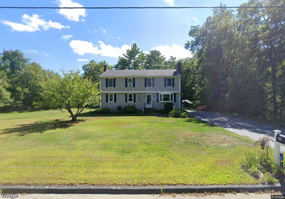
80 Peckham Rd Acushnet, MA 02743
New Bedford South Pond NeighborhoodEstimated Value: $513,534 - $671,000
Studio
2
Baths
2,142
Sq Ft
$271/Sq Ft
Est. Value
About This Home
This home is located at 80 Peckham Rd, Acushnet, MA 02743 and is currently estimated at $580,634, approximately $271 per square foot. 80 Peckham Rd is a home located in Bristol County with nearby schools including Acushnet Elementary School, Albert F Ford Middle School, and Alma del Mar Charter School.
Ownership History
Date
Name
Owned For
Owner Type
Purchase Details
Closed on
Jun 2, 1983
Bought by
Laplante Marc E and Laplante Suzanne J
Current Estimated Value
Create a Home Valuation Report for This Property
The Home Valuation Report is an in-depth analysis detailing your home's value as well as a comparison with similar homes in the area
Home Values in the Area
Average Home Value in this Area
Purchase History
| Date | Buyer | Sale Price | Title Company |
|---|---|---|---|
| Laplante Marc E | -- | -- |
Source: Public Records
Mortgage History
| Date | Status | Borrower | Loan Amount |
|---|---|---|---|
| Open | Laplante Marc E | $148,000 | |
| Closed | Laplante Marc E | $50,000 | |
| Closed | Laplante Marc E | $81,305 |
Source: Public Records
Tax History
| Year | Tax Paid | Tax Assessment Tax Assessment Total Assessment is a certain percentage of the fair market value that is determined by local assessors to be the total taxable value of land and additions on the property. | Land | Improvement |
|---|---|---|---|---|
| 2025 | $45 | $414,200 | $141,100 | $273,100 |
| 2024 | $4,260 | $373,400 | $133,700 | $239,700 |
| 2023 | $4,198 | $349,800 | $121,300 | $228,500 |
| 2022 | $3,943 | $297,100 | $113,900 | $183,200 |
| 2021 | $3,893 | $281,500 | $113,900 | $167,600 |
| 2020 | $3,820 | $274,000 | $106,400 | $167,600 |
| 2019 | $3,741 | $263,800 | $101,500 | $162,300 |
| 2018 | $3,615 | $250,700 | $101,500 | $149,200 |
| 2017 | $3,512 | $243,200 | $101,500 | $141,700 |
| 2016 | $3,361 | $231,300 | $101,500 | $129,800 |
| 2015 | $3,303 | $231,300 | $101,500 | $129,800 |
Source: Public Records
Map
Nearby Homes
- 898 Tobey St
- 1069 Cherokee St
- 34 Poplar Rd
- SS Charbonneau Ln
- 4597 Acushnet Ave
- 0 Keene Rd Unit 73459818
- 145 Heritage Dr
- 168 Keene Rd
- 1475 Braley Rd Unit 21
- 1475 Braley Rd Unit 17
- 1617 Braley Rd Unit 82
- ES Phillips Rd
- 1015 Forbes St
- 40 Foley Dr
- 134 Nyes Ln
- ES Acushnet Ave
- 329 Middle Rd
- 61 Morton Ave
- 1251 Church St Unit 10
- 1261 Church St Unit 70